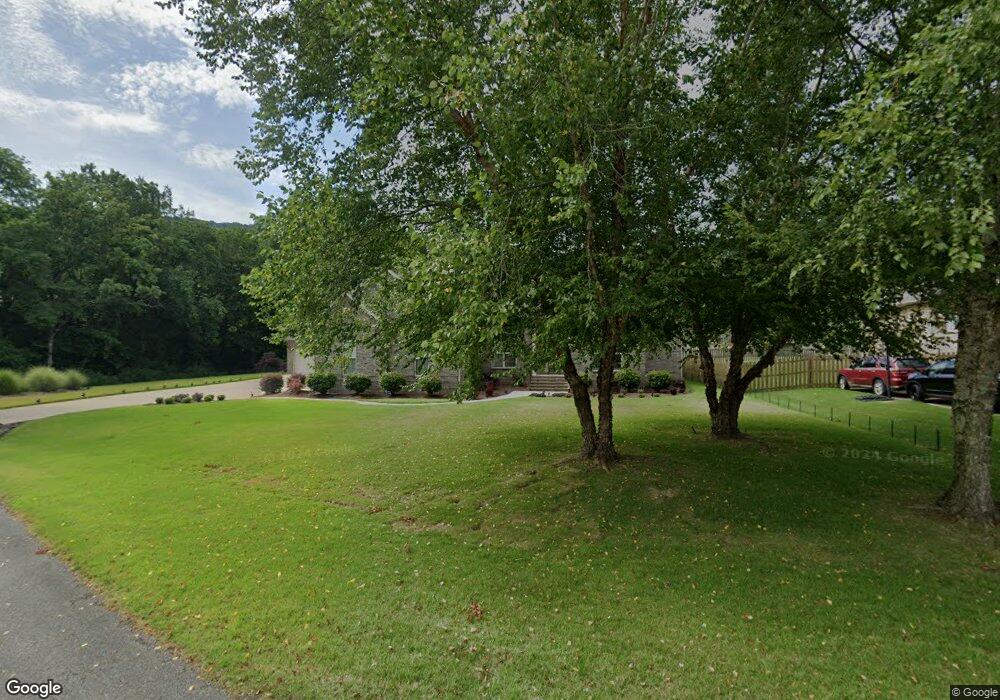
230 Hollington Dr NE Huntsville, AL 35811
Ryland NeighborhoodEstimated Value: $463,000 - $528,546
2
Beds
3
Baths
2,843
Sq Ft
$174/Sq Ft
Est. Value
About This Home
This home is located at 230 Hollington Dr NE, Huntsville, AL 35811 and is currently estimated at $495,137, approximately $174 per square foot. 230 Hollington Dr NE is a home located in Madison County with nearby schools including Central School and Madison County High School.
Ownership History
Date
Name
Owned For
Owner Type
Purchase Details
Closed on
Mar 26, 2009
Sold by
River Oaks Homes Llc
Bought by
Thompson Pamela S
Current Estimated Value
Home Financials for this Owner
Home Financials are based on the most recent Mortgage that was taken out on this home.
Original Mortgage
$284,000
Outstanding Balance
$179,810
Interest Rate
5.13%
Mortgage Type
New Conventional
Estimated Equity
$315,327
Create a Home Valuation Report for This Property
The Home Valuation Report is an in-depth analysis detailing your home's value as well as a comparison with similar homes in the area
Home Values in the Area
Average Home Value in this Area
Purchase History
| Date | Buyer | Sale Price | Title Company |
|---|---|---|---|
| Thompson Pamela S | -- | -- |
Source: Public Records
Mortgage History
| Date | Status | Borrower | Loan Amount |
|---|---|---|---|
| Open | Thompson Pamela S | $284,000 |
Source: Public Records
Tax History Compared to Growth
Tax History
| Year | Tax Paid | Tax Assessment Tax Assessment Total Assessment is a certain percentage of the fair market value that is determined by local assessors to be the total taxable value of land and additions on the property. | Land | Improvement |
|---|---|---|---|---|
| 2025 | $1,761 | $50,220 | $8,000 | $42,220 |
| 2024 | $1,761 | $48,800 | $8,000 | $40,800 |
| 2023 | $1,709 | $48,800 | $8,000 | $40,800 |
| 2022 | $1,417 | $40,500 | $4,500 | $36,000 |
| 2021 | $1,262 | $36,260 | $4,500 | $31,760 |
| 2020 | $1,146 | $33,080 | $4,500 | $28,580 |
| 2019 | $1,107 | $32,020 | $4,500 | $27,520 |
| 2018 | $1,058 | $30,680 | $0 | $0 |
| 2017 | $1,029 | $29,880 | $0 | $0 |
| 2016 | $1,029 | $29,880 | $0 | $0 |
| 2015 | $1,029 | $29,880 | $0 | $0 |
| 2014 | $1,057 | $30,640 | $0 | $0 |
Source: Public Records
Map
Nearby Homes
- 104 Early Morning Cir
- 213 Hollington Dr NE
- 232 Shadowbrook Ln NE
- 217 Shadowbrook Ln NE
- 13 Townsend Dr
- 215 NE Albany Dr
- 3.8 Acres Townsend Dr SE
- 2121 Kanteen St
- 1522 Calistoga Cir NE
- 2102 Kanteen St NE
- 2106 Kanteen St NE
- 2104 Kanteen St NE
- 1602 Calistoga Cir NE
- 143 Bridgestone Dr NE
- 1604 Calistoga Cir NE
- 208 Townsend Dr SE
- 109 Bridgestone Dr NE
- 1608 Calistoga Cir NE
- 1610 Calistoga Cir NE
- 1612 Calistoga Cir NE
- 228 Hollington Dr NE
- 229 Hollington Dr NE
- 226 Hollington Dr NE
- 227 Hollington Dr NE
- 185 Valley Stone Rd
- 105 Valley Dawn Cir
- 225 Hollington Dr NE
- 103 Valley Dawn Cir
- 179 Valley Stone Rd
- 101 Valley Dawn Cir
- 0 Valley Stone Rd Unit 565140
- 0 Valley Stone Rd Unit 1012780
- 0 Valley Stone Rd Unit 1774507
- 177 Valley Stone Rd
- 222 Hollington Dr NE
- 106 Valley Dawn Cir
- 221 Hollington Dr NE
- 175 Valley Stone Rd
- 191 Valley Stone Rd
- 188 Valley Stone Rd