230 Lagrange Industrial Dr Tappahannock, VA 22560
Estimated Value: $332,738
--
Bed
--
Bath
5,100
Sq Ft
$65/Sq Ft
Est. Value
About This Home
This home is located at 230 Lagrange Industrial Dr, Tappahannock, VA 22560 and is currently estimated at $332,738, approximately $65 per square foot. 230 Lagrange Industrial Dr is a home located in Essex County with nearby schools including Tappahannock Elementary School, James H. Cary Intermediate School, and Essex High School.
Ownership History
Date
Name
Owned For
Owner Type
Purchase Details
Closed on
Apr 12, 2021
Sold by
Schoolar Fairleigh M and Schoolar Cecilia F
Bought by
Lagrange Properties Llc
Current Estimated Value
Home Financials for this Owner
Home Financials are based on the most recent Mortgage that was taken out on this home.
Original Mortgage
$250,000
Outstanding Balance
$226,080
Interest Rate
3.1%
Mortgage Type
Credit Line Revolving
Estimated Equity
$106,658
Create a Home Valuation Report for This Property
The Home Valuation Report is an in-depth analysis detailing your home's value as well as a comparison with similar homes in the area
Home Values in the Area
Average Home Value in this Area
Purchase History
| Date | Buyer | Sale Price | Title Company |
|---|---|---|---|
| Lagrange Properties Llc | $250,000 | Attorney |
Source: Public Records
Mortgage History
| Date | Status | Borrower | Loan Amount |
|---|---|---|---|
| Open | Lagrange Properties Llc | $250,000 |
Source: Public Records
Tax History Compared to Growth
Tax History
| Year | Tax Paid | Tax Assessment Tax Assessment Total Assessment is a certain percentage of the fair market value that is determined by local assessors to be the total taxable value of land and additions on the property. | Land | Improvement |
|---|---|---|---|---|
| 2025 | $1,243 | $226,000 | $90,000 | $136,000 |
| 2024 | $1,299 | $177,900 | $75,000 | $102,900 |
| 2023 | $1,299 | $177,900 | $75,000 | $102,900 |
| 2022 | $1,299 | $177,900 | $75,000 | $102,900 |
| 2021 | $1,316 | $177,900 | $75,000 | $102,900 |
| 2020 | $1,527 | $177,600 | $75,000 | $102,600 |
| 2019 | $1,563 | $184,500 | $75,000 | $109,500 |
| 2018 | $1,563 | $184,500 | $75,000 | $109,500 |
| 2017 | -- | $0 | $0 | $0 |
| 2016 | $1,624 | $184,500 | $0 | $0 |
| 2015 | -- | $0 | $0 | $0 |
| 2014 | -- | $0 | $0 | $0 |
| 2013 | -- | $0 | $0 | $0 |
Source: Public Records
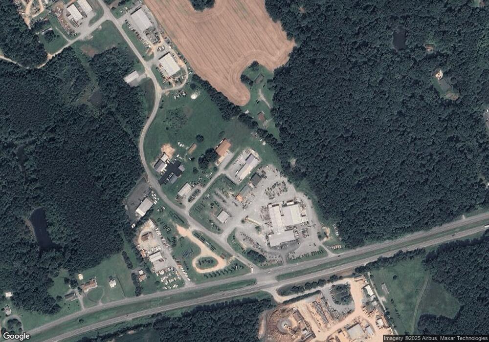
Map
Nearby Homes
- 1 Lagrange Industrial Dr
- 416 Berry Hill Rd
- 1 Heron Point Dr
- 728 Meadow Dr
- 00 Henley Fork Dr
- 56 Hobbs Hole Ln
- 58 Hobbs Hole Ln
- The Bell Creek Plan at Hobbs Hole
- The Powell Plan at Hobbs Hole
- The Westport Plan at Hobbs Hole
- 439 Hobbs Hole Ln
- 113 Logan Way
- 115 Logan Way
- 111 Logan Way
- 0 Logan Way Unit VAES2000806
- 0 Logan Way Unit 2500182
- 233 Mitchells Ln
- 271 Logan Way
- 236 Lagrange Industrial Dr
- 321 Mt Clement Park
- 211 Mount Clement Rd
- 232 Lagrange Industrial Dr
- 252 Lagrange Industrial Dr
- 646 Richmond Hwy
- 322 Mt Clement Park
- 378 Lagrange Industrial Dr
- 00 Lagrange Industrial Dr
- 0 Lagrange Industrial Dr Unit 2000258
- 0 Lagrange Industrial Dr
- 01 Lagrange Industrial Dr
- 267 Lagrange Industrial Dr
- 570 Richmond Hwy
- 360 W Industrial
- 403 Lagrange Industrial Dr
- 824 Richmond Hwy
- 699 Hospital Rd
- 661 Richmond Hwy
- 842 Richmond Hwy