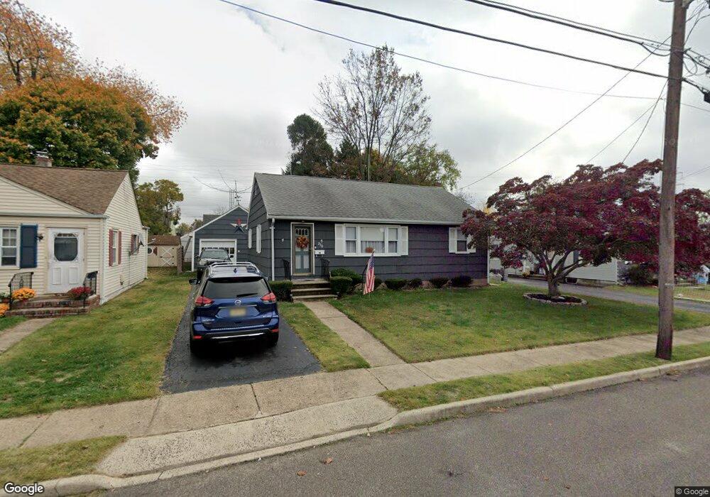
230 Lillian Ave Trenton, NJ 08610
Estimated Value: $278,000 - $340,000
3
Beds
1
Bath
1,008
Sq Ft
$316/Sq Ft
Est. Value
About This Home
This home is located at 230 Lillian Ave, Trenton, NJ 08610 and is currently estimated at $318,881, approximately $316 per square foot. 230 Lillian Ave is a home located in Mercer County with nearby schools including George E. Wilson Elementary School, Albert E. Grice Middle School, and Hamilton West-Watson High School.
Ownership History
Date
Name
Owned For
Owner Type
Purchase Details
Closed on
Feb 28, 2011
Sold by
Anctil David J and Anctil Joseph N
Bought by
Moore Frank C
Current Estimated Value
Home Financials for this Owner
Home Financials are based on the most recent Mortgage that was taken out on this home.
Original Mortgage
$156,918
Outstanding Balance
$108,021
Interest Rate
4.83%
Mortgage Type
FHA
Estimated Equity
$210,860
Create a Home Valuation Report for This Property
The Home Valuation Report is an in-depth analysis detailing your home's value as well as a comparison with similar homes in the area
Home Values in the Area
Average Home Value in this Area
Purchase History
| Date | Buyer | Sale Price | Title Company |
|---|---|---|---|
| Moore Frank C | $161,000 | Premier Abstract Title Agenc |
Source: Public Records
Mortgage History
| Date | Status | Borrower | Loan Amount |
|---|---|---|---|
| Open | Moore Frank C | $156,918 |
Source: Public Records
Tax History Compared to Growth
Tax History
| Year | Tax Paid | Tax Assessment Tax Assessment Total Assessment is a certain percentage of the fair market value that is determined by local assessors to be the total taxable value of land and additions on the property. | Land | Improvement |
|---|---|---|---|---|
| 2025 | $5,797 | $164,500 | $56,000 | $108,500 |
| 2024 | $5,433 | $164,500 | $56,000 | $108,500 |
| 2023 | $5,433 | $164,500 | $56,000 | $108,500 |
| 2022 | $5,348 | $164,500 | $56,000 | $108,500 |
| 2021 | $6,634 | $164,500 | $56,000 | $108,500 |
| 2020 | $6,042 | $164,500 | $56,000 | $108,500 |
| 2019 | $5,864 | $164,500 | $56,000 | $108,500 |
| 2018 | $5,820 | $164,500 | $56,000 | $108,500 |
| 2017 | $5,514 | $164,500 | $56,000 | $108,500 |
| 2016 | $4,448 | $164,500 | $56,000 | $108,500 |
| 2015 | $5,658 | $108,200 | $40,400 | $67,800 |
| 2014 | $5,541 | $108,200 | $40,400 | $67,800 |
Source: Public Records
Map
Nearby Homes
- 164 Lillian Ave
- 118 Hunter Ave
- 252 Churchill Ave
- 158 Churchill Ave
- 234 Thropp Ave
- 204 Thropp Ave
- 109 E Park Ave
- 156 Maddock Ave
- 28 Thropp Ave
- 949 Schiller Ave
- 2033 Genesee St
- 624 Hunt Ave
- 429 Wilfred Ave
- 533 Hunt Ave
- 529 Hunt Ave
- 408 Berg Ave
- 316 W Park Ave
- 323 Wilfred Ave
- 1961 S Broad St
- 604 Schiller Ave
- 206 Lillian Ave
- 236 Lillian Ave
- 204 Lillian Ave
- 225 Irvington Place
- 242 Lillian Ave
- 231 Irvington Place
- 221 Irvington Place
- 237 Irvington Place
- 215 Irvington Place
- 248 Lillian Ave
- 209 Lillian Ave
- 235 Lillian Ave
- 243 Irvington Place
- 207 Lillian Ave
- 241 Lillian Ave
- 209 Irvington Place
- 254 Lillian Ave
- 205 Lillian Ave
- 245 Lillian Ave
- 249 Irvington Place