Estimated Value: $647,924 - $693,000
4
Beds
3
Baths
3,030
Sq Ft
$224/Sq Ft
Est. Value
About This Home
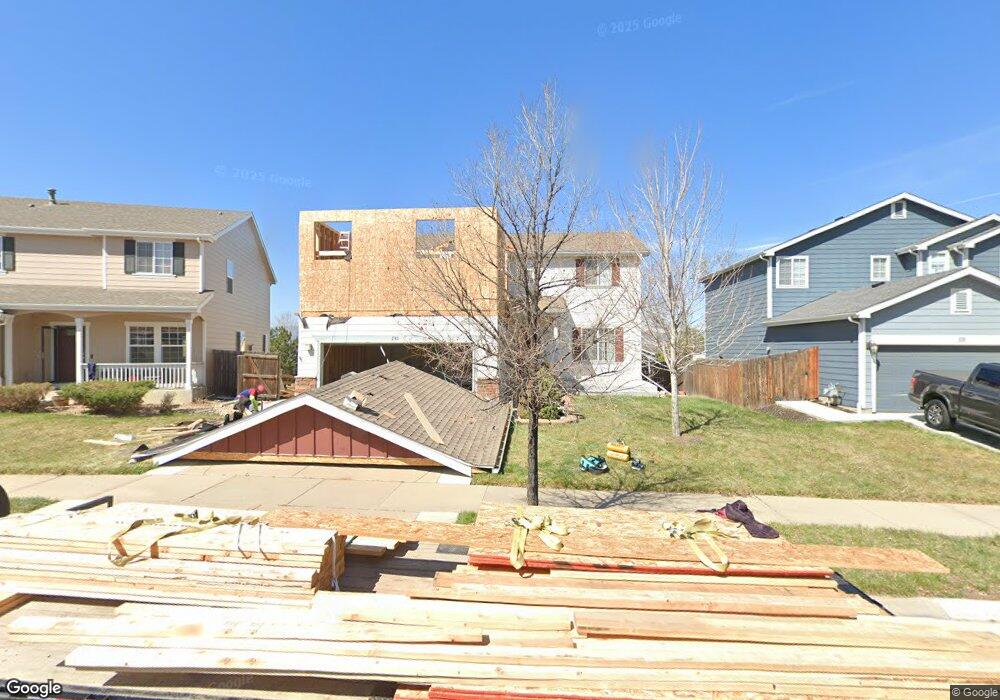
This home is located at 230 Mcafee Cir, Erie, CO 80516 and is currently estimated at $678,481, approximately $223 per square foot. 230 Mcafee Cir is a home located in Weld County with nearby schools including Red Hawk Elementary School, Erie Middle School, and Erie High School.
Ownership History
Date
Name
Owned For
Owner Type
Purchase Details
Closed on
May 3, 2012
Sold by
Hrenchir Cynthia L
Bought by
Hrenchir Donald E
Current Estimated Value
Purchase Details
Closed on
Jul 12, 2006
Sold by
Fobes Daniel C
Bought by
Hrenchir Donald E and Hrenchir Cynthia L
Home Financials for this Owner
Home Financials are based on the most recent Mortgage that was taken out on this home.
Original Mortgage
$257,000
Interest Rate
6.6%
Mortgage Type
Unknown
Purchase Details
Closed on
Aug 29, 2005
Sold by
Mcgill James Wesley
Bought by
Aurora Loan Services Inc
Purchase Details
Closed on
Oct 31, 2002
Sold by
Kb Home Colorado Inc
Bought by
Mcgill James Wesley
Home Financials for this Owner
Home Financials are based on the most recent Mortgage that was taken out on this home.
Original Mortgage
$253,550
Interest Rate
6%
Create a Home Valuation Report for This Property
The Home Valuation Report is an in-depth analysis detailing your home's value as well as a comparison with similar homes in the area
Home Values in the Area
Average Home Value in this Area
Purchase History
| Date | Buyer | Sale Price | Title Company |
|---|---|---|---|
| Hrenchir Donald E | -- | None Available | |
| Hrenchir Donald E | $285,500 | None Available | |
| Aurora Loan Services Inc | -- | -- | |
| Mcgill James Wesley | $316,994 | -- |
Source: Public Records
Mortgage History
| Date | Status | Borrower | Loan Amount |
|---|---|---|---|
| Closed | Hrenchir Donald E | $257,000 | |
| Previous Owner | Mcgill James Wesley | $253,550 |
Source: Public Records
Tax History Compared to Growth
Tax History
| Year | Tax Paid | Tax Assessment Tax Assessment Total Assessment is a certain percentage of the fair market value that is determined by local assessors to be the total taxable value of land and additions on the property. | Land | Improvement |
|---|---|---|---|---|
| 2025 | $4,336 | $46,740 | $7,880 | $38,860 |
| 2024 | $4,336 | $46,740 | $7,880 | $38,860 |
| 2023 | $4,180 | $44,670 | $7,850 | $36,820 |
| 2022 | $3,675 | $34,100 | $5,910 | $28,190 |
| 2021 | $3,753 | $35,080 | $6,080 | $29,000 |
| 2020 | $3,266 | $30,750 | $4,650 | $26,100 |
| 2019 | $3,296 | $30,750 | $4,650 | $26,100 |
| 2018 | $2,969 | $27,740 | $3,600 | $24,140 |
| 2017 | $2,885 | $27,740 | $3,600 | $24,140 |
| 2016 | $2,692 | $25,560 | $3,980 | $21,580 |
| 2015 | $2,611 | $25,560 | $3,980 | $21,580 |
| 2014 | $2,207 | $21,460 | $3,980 | $17,480 |
Source: Public Records
Map
Nearby Homes
- 560 Indian Peaks Dr
- 173 Ambrose St
- 111 Ambrose St
- 158 Summit Way
- 360 Ambrose St
- 310 Ambrose St
- 390 Ambrose St
- 30 Sun up Ct
- 61 Moonrise Ct
- 610 Sun up Place
- 90 Pipit Lake Way
- 172 Painted Horse Way
- 195 Briggs St
- 626 Gallegos St
- 915 Zodo Ave
- 112 Austin Ave
- 365 Briggs St
- 555 Gallegos Cir
- 420 Anderson St
- 410 Anderson St
- 226 Mcafee Cir
- 234 Mcafee Cir
- 238 Mcafee Cir
- 216 Mcafee Cir
- 215 Montgomery Dr
- 213 Montgomery Dr
- 181 Montgomery Dr
- 211 Montgomery Dr
- 252 Monares Ln
- 214 Mcafee Cir
- 183 Montgomery Dr
- 207 Montgomery Dr
- 185 Montgomery Dr
- 219 Montgomery Dr
- 205 Montgomery Dr
- 260 Monares Ln
- 177 Montgomery Dr
- 223 Montgomery Dr
- 189 Montgomery Dr
- 173 Montgomery Dr