230 N State Route 201 Casstown, OH 45312
Estimated Value: $312,000 - $411,000
4
Beds
1
Bath
1,596
Sq Ft
$215/Sq Ft
Est. Value
About This Home
This home is located at 230 N State Route 201, Casstown, OH 45312 and is currently estimated at $343,519, approximately $215 per square foot. 230 N State Route 201 is a home with nearby schools including Miami East Elementary School, Miami East Junior High School, and Miami East High School.
Ownership History
Date
Name
Owned For
Owner Type
Purchase Details
Closed on
Feb 13, 2012
Sold by
Giles Julie and Giles Gary B
Bought by
Tron Glenda L
Current Estimated Value
Purchase Details
Closed on
Feb 8, 2006
Sold by
Ely Jerry A and Kremer Susan M
Bought by
Giles Julie and Giles Gary B
Purchase Details
Closed on
May 25, 2001
Sold by
Ely Jerry and Ely Susan
Bought by
Giles Julie and Tipple Jennifer
Purchase Details
Closed on
Nov 13, 1992
Bought by
Hufford Lois Romaine
Create a Home Valuation Report for This Property
The Home Valuation Report is an in-depth analysis detailing your home's value as well as a comparison with similar homes in the area
Home Values in the Area
Average Home Value in this Area
Purchase History
| Date | Buyer | Sale Price | Title Company |
|---|---|---|---|
| Tron Glenda L | $160,000 | -- | |
| Giles Julie | -- | -- | |
| Giles Julie | -- | -- | |
| Hufford Lois Romaine | -- | -- |
Source: Public Records
Tax History Compared to Growth
Tax History
| Year | Tax Paid | Tax Assessment Tax Assessment Total Assessment is a certain percentage of the fair market value that is determined by local assessors to be the total taxable value of land and additions on the property. | Land | Improvement |
|---|---|---|---|---|
| 2024 | $1,658 | $50,930 | $18,450 | $32,480 |
| 2023 | $1,658 | $50,930 | $18,450 | $32,480 |
| 2022 | $1,705 | $50,930 | $18,450 | $32,480 |
| 2021 | $1,414 | $39,980 | $14,990 | $24,990 |
| 2020 | $1,422 | $39,980 | $14,990 | $24,990 |
| 2019 | $1,446 | $39,980 | $14,990 | $24,990 |
| 2018 | $1,379 | $36,880 | $18,680 | $18,200 |
| 2017 | $1,284 | $34,680 | $18,680 | $16,000 |
| 2016 | $1,203 | $34,680 | $18,680 | $16,000 |
| 2015 | $1,188 | $32,320 | $16,950 | $15,370 |
| 2014 | $1,188 | $32,320 | $16,950 | $15,370 |
| 2013 | $1,195 | $32,320 | $16,950 | $15,370 |
Source: Public Records
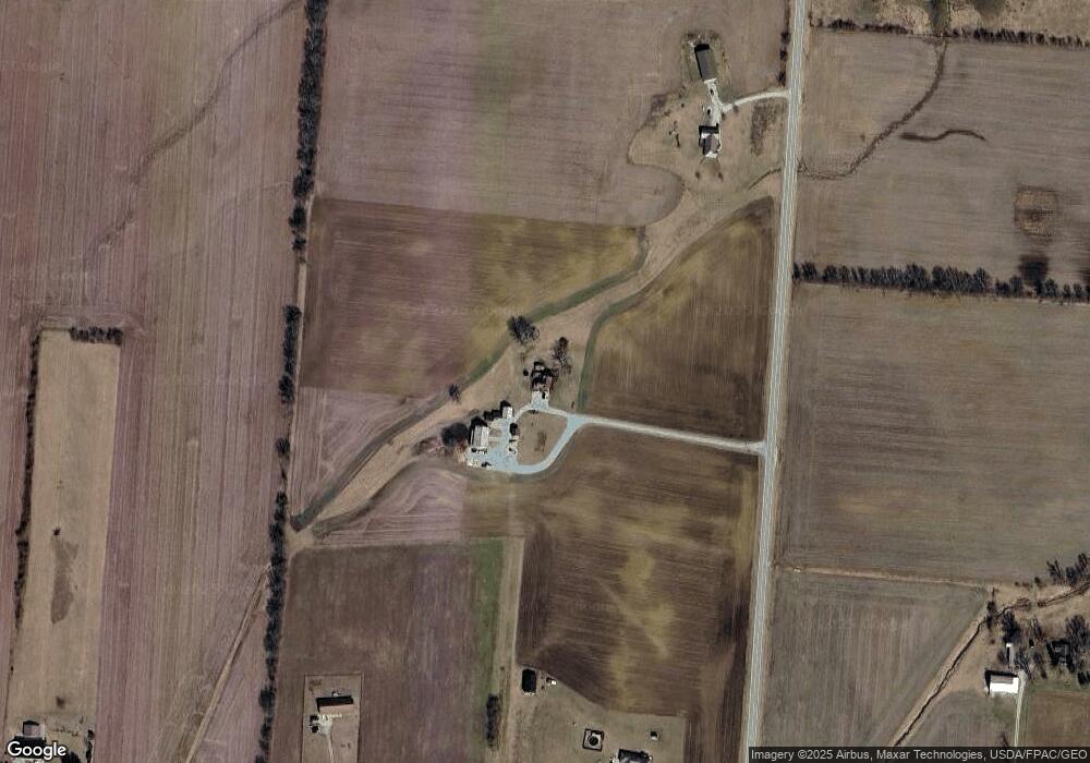
Map
Nearby Homes
- 910 S Alcony Conover Rd
- 910 S Alcony-Conover Rd
- 5782 N Addison New Carlisle Rd
- 72 N Childrens Home Rd
- 12 N Main St
- 107 N Main St
- 211 N Grant St
- 6570 S Tipp Cowl Rd
- 10916 Ayres Pike
- 12490 Stafford Rd
- 4845 E Troy Urbana Rd
- 2386 Lefevre Rd
- 2656 Addison New Carlisle Rd
- 1947 Woodcliffe Dr
- 3430 Michael Dr
- 3410 Michael Dr
- 11298 Stafford Rd
- 1760 Hunters Ridge Dr
- 6807 Lefevre Rd
- 6949 Lefevre Rd
- 420 N State Route 201
- 999999 State Rd 201
- 999999 Sr 201
- 6900 Lefevre Rd
- 520 N State Route 201
- 45 S State Route 201
- 7080 Lefevre Rd
- 505 N State Route 201
- 85 S State Route 201
- 105 S State Route 201
- 7140 Lefevre Rd
- 620 N State Route 201
- 185 S State Route 201
- 690 N State Route 201
- 6480 Lefevre Rd
- 205 S State Route 201
- 6470 Lefevre Rd
- 700 N State Route 201