230 Ostwalt Farm Ln Statesville, NC 28677
Estimated Value: $367,000 - $711,000
3
Beds
2
Baths
2,182
Sq Ft
$241/Sq Ft
Est. Value
About This Home
This home is located at 230 Ostwalt Farm Ln, Statesville, NC 28677 and is currently estimated at $526,226, approximately $241 per square foot. 230 Ostwalt Farm Ln is a home located in Iredell County with nearby schools including Celeste Henkel Elementary School, West Iredell Middle School, and West Iredell High School.
Ownership History
Date
Name
Owned For
Owner Type
Purchase Details
Closed on
Mar 22, 2002
Sold by
Ostwalt Franklin B and Ostwalt Frances Joann R
Bought by
Cooper Michael Thomas and Cooper Tracy Elliott
Current Estimated Value
Home Financials for this Owner
Home Financials are based on the most recent Mortgage that was taken out on this home.
Original Mortgage
$54,000
Interest Rate
6.85%
Mortgage Type
Seller Take Back
Purchase Details
Closed on
Jul 1, 1984
Create a Home Valuation Report for This Property
The Home Valuation Report is an in-depth analysis detailing your home's value as well as a comparison with similar homes in the area
Home Values in the Area
Average Home Value in this Area
Purchase History
| Date | Buyer | Sale Price | Title Company |
|---|---|---|---|
| Cooper Michael Thomas | $60,000 | -- | |
| -- | -- | -- |
Source: Public Records
Mortgage History
| Date | Status | Borrower | Loan Amount |
|---|---|---|---|
| Closed | Cooper Michael Thomas | $54,000 |
Source: Public Records
Tax History Compared to Growth
Tax History
| Year | Tax Paid | Tax Assessment Tax Assessment Total Assessment is a certain percentage of the fair market value that is determined by local assessors to be the total taxable value of land and additions on the property. | Land | Improvement |
|---|---|---|---|---|
| 2024 | $2,446 | $397,650 | $146,360 | $251,290 |
| 2023 | $2,446 | $397,650 | $146,360 | $251,290 |
| 2022 | $1,859 | $282,130 | $117,090 | $165,040 |
| 2021 | $1,826 | $282,130 | $117,090 | $165,040 |
| 2020 | $1,826 | $282,130 | $117,090 | $165,040 |
| 2019 | $1,756 | $282,130 | $117,090 | $165,040 |
| 2018 | $1,658 | $268,860 | $117,090 | $151,770 |
| 2017 | $1,658 | $268,860 | $117,090 | $151,770 |
| 2016 | $1,658 | $268,860 | $117,090 | $151,770 |
| 2015 | $1,658 | $268,860 | $117,090 | $151,770 |
| 2014 | $1,310 | $278,380 | $117,090 | $161,290 |
Source: Public Records
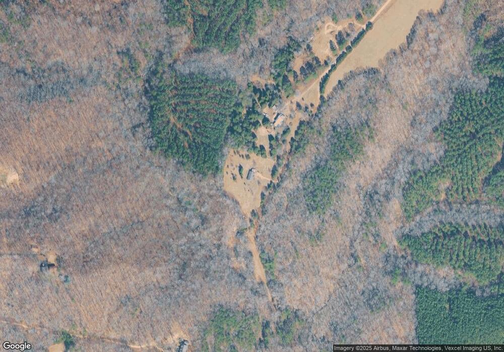
Map
Nearby Homes
- L177 Laurel Cove Rd
- TBD Boomer Ct Unit 6
- TBD Boomer Ct Unit 7
- TBD Boomer Ct Unit 5
- TBD Boomer Ct Unit 8
- TBD Boomer Ct Unit 4
- TBD Boomer Ct Unit 10
- TBD Boomer Ct Unit 9
- TBD Boomer Ct Unit 12
- TBD Boomer Ct Unit 1
- TBD Boomer Ct Unit 13
- TBD Boomer Ct Unit 14
- TBD Boomer Ct Unit 2
- TBD Boomer Ct Unit 3
- 179 Braxton Dr Unit 13
- 131 High Lake Dr
- 171 Braxton Dr Unit 12
- 139 N Harbor Watch Dr
- 171 & 179 Braxton Dr Unit 12 & 13
- 000 Lockhart Ln
- 200 Ostwalt Farm Ln
- 335 Laurel Cove Rd
- 317 Laurel Cove Rd
- 154 Ostwalt Farm Ln
- 293 Laurel Cove Rd
- 357 Laurel Cove Rd
- 287 Laurel Cove Rd
- 305 Laurel Cove Rd
- 140 Ostwalt Farm Ln
- 277 Laurel Cove Rd
- 486 Pineville Rd
- 257 Laurel Cove Rd
- 284 Laurel Cove Rd
- 316 Laurel Cove Rd
- 211 Braxton Dr
- 261 Laurel Cove Rd
- 203 Braxton Dr
- 270 Laurel Cove Rd
- 324 Laurel Cove Rd
- 406 Pineville Rd