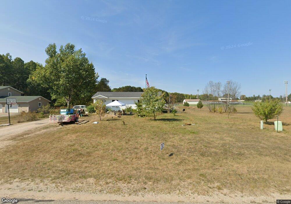
230 Poplar Rd Pellston, MI 49769
Estimated Value: $205,809 - $305,000
--
Bed
--
Bath
--
Sq Ft
0.47
Acres
About This Home
This home is located at 230 Poplar Rd, Pellston, MI 49769 and is currently estimated at $247,270. 230 Poplar Rd is a home located in Emmet County with nearby schools including Pellston Elementary School and Pellston Middle/High School.
Ownership History
Date
Name
Owned For
Owner Type
Purchase Details
Closed on
Sep 21, 2012
Sold by
Northwest Michigan Habitat For Humanity
Bought by
Stenson Justin and Stenson Shawn Dell
Current Estimated Value
Home Financials for this Owner
Home Financials are based on the most recent Mortgage that was taken out on this home.
Original Mortgage
$84,818
Outstanding Balance
$58,939
Interest Rate
3.66%
Estimated Equity
$188,331
Purchase Details
Closed on
Oct 4, 2010
Sold by
Jacobs Amy M
Bought by
Northwest Michigan Habitat For Humanity
Purchase Details
Closed on
Aug 24, 2007
Sold by
Northwest Michigan Habitat For Humanity
Bought by
Jacobs Amy M
Home Financials for this Owner
Home Financials are based on the most recent Mortgage that was taken out on this home.
Original Mortgage
$75,000
Interest Rate
6.72%
Purchase Details
Closed on
Apr 14, 2006
Bought by
Northwest Michigan Habitat For Huma
Purchase Details
Closed on
May 1, 1984
Sold by
Pellston Firefighters
Bought by
Keiser
Create a Home Valuation Report for This Property
The Home Valuation Report is an in-depth analysis detailing your home's value as well as a comparison with similar homes in the area
Home Values in the Area
Average Home Value in this Area
Purchase History
| Date | Buyer | Sale Price | Title Company |
|---|---|---|---|
| Stenson Justin | $85,000 | -- | |
| Northwest Michigan Habitat For Humanity | -- | -- | |
| Jacobs Amy M | $85,000 | -- | |
| Northwest Michigan Habitat For Huma | $10,000 | -- | |
| Keiser | $500 | -- |
Source: Public Records
Mortgage History
| Date | Status | Borrower | Loan Amount |
|---|---|---|---|
| Open | Stenson Justin | $84,818 | |
| Previous Owner | Jacobs Amy M | $75,000 |
Source: Public Records
Tax History Compared to Growth
Tax History
| Year | Tax Paid | Tax Assessment Tax Assessment Total Assessment is a certain percentage of the fair market value that is determined by local assessors to be the total taxable value of land and additions on the property. | Land | Improvement |
|---|---|---|---|---|
| 2025 | $1,655 | $104,200 | $104,200 | $0 |
| 2024 | $1,655 | $85,700 | $85,700 | $0 |
| 2023 | $1,543 | $80,500 | $80,500 | $0 |
| 2022 | $1,543 | $61,600 | $61,600 | $0 |
| 2021 | $1,603 | $58,300 | $58,300 | $0 |
| 2020 | $1,610 | $59,000 | $59,000 | $0 |
| 2019 | -- | $58,200 | $58,200 | $0 |
| 2018 | -- | $45,900 | $45,900 | $0 |
| 2017 | -- | $46,400 | $46,400 | $0 |
| 2016 | -- | $46,600 | $46,600 | $0 |
| 2015 | -- | $43,600 | $0 | $0 |
| 2014 | -- | $42,500 | $0 | $0 |
Source: Public Records
Map
Nearby Homes
- 000 Vacant U S 31
- 6457 State St
- 6421 Airport Crossing Rd Unit 1
- 6672 Industrial Dr
- 0 Reed Rd Unit 474270
- TBD Teal Rd
- 4333 U S 31
- 9160 Silver Strand Rd
- 9470 Silver Strand Rd
- 9670 Silver Strand Rd
- 3016 W Burt Lake Rd
- 9485 Ingleside Rd
- 10999 Koepke Rd
- 5100 N Bay Way
- 10222 W Munro Lake Dr
- 6430 Admirals Point Dr
- 6167 Lambert Dr
- 5383 N Conway Rd
- 4310 E Burt Lake Rd
- 1975 &1995 Club House Dr