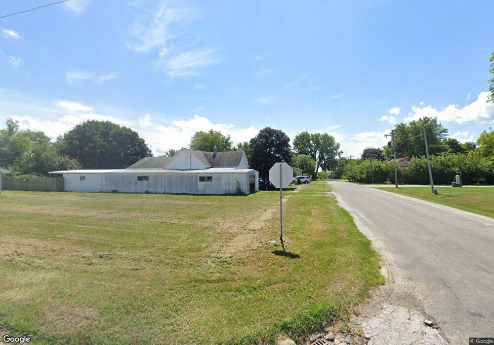
230 S Crafford St Bushnell, IL 61422
Estimated Value: $51,000 - $59,000
2
Beds
--
Bath
1,062
Sq Ft
$51/Sq Ft
Est. Value
About This Home
This home is located at 230 S Crafford St, Bushnell, IL 61422 and is currently estimated at $53,795, approximately $50 per square foot. 230 S Crafford St is a home located in McDonough County with nearby schools including Bushnell-Prairie City Elementary School, Bushnell-Prairie City Junior High School, and Bushnell-Prairie City High School.
Ownership History
Date
Name
Owned For
Owner Type
Purchase Details
Closed on
Feb 16, 2024
Sold by
Howard Thomas F
Bought by
Kieffer Stephanie K
Current Estimated Value
Purchase Details
Closed on
Jun 11, 2020
Sold by
Lathrop Timothy L
Bought by
Howard Thomas F
Purchase Details
Closed on
Aug 17, 2010
Sold by
Riden John H
Bought by
Lathrop Timothy L and Lathrop Denise F
Create a Home Valuation Report for This Property
The Home Valuation Report is an in-depth analysis detailing your home's value as well as a comparison with similar homes in the area
Home Values in the Area
Average Home Value in this Area
Purchase History
| Date | Buyer | Sale Price | Title Company |
|---|---|---|---|
| Kieffer Stephanie K | -- | None Listed On Document | |
| Howard Thomas F | $5,000 | None Available | |
| Lathrop Timothy L | $8,000 | None Available |
Source: Public Records
Tax History Compared to Growth
Tax History
| Year | Tax Paid | Tax Assessment Tax Assessment Total Assessment is a certain percentage of the fair market value that is determined by local assessors to be the total taxable value of land and additions on the property. | Land | Improvement |
|---|---|---|---|---|
| 2024 | $1,043 | $11,346 | $1,797 | $9,549 |
| 2023 | $1,004 | $11,226 | $1,778 | $9,448 |
| 2022 | $913 | $10,148 | $1,607 | $8,541 |
| 2021 | $876 | $9,716 | $1,539 | $8,177 |
| 2020 | $887 | $11,096 | $1,517 | $9,579 |
| 2019 | $368 | $9,982 | $1,581 | $8,401 |
| 2018 | $370 | $10,191 | $1,614 | $8,577 |
| 2017 | $371 | $10,045 | $1,591 | $8,454 |
| 2016 | $311 | $9,288 | $1,471 | $7,817 |
| 2015 | $316 | $9,288 | $1,471 | $7,817 |
| 2014 | $264 | $9,147 | $1,449 | $7,698 |
| 2013 | $437 | $10,923 | $1,633 | $9,290 |
Source: Public Records
Map
Nearby Homes
- 310 N Dean St
- 195 W Hail St
- 425 N Jackson St
- 651 N Sperry St
- 555 N Jackson St
- 777 Cole St
- 651 N Washington St
- 134 W Osborne St
- 924 N Crafford St
- 994 N Crafford St
- 1024 W Main St
- 14 Hillcrest Dr
- 295 W Harris Ave
- 4 Hiel Dr
- 18520 N 1450th Rd
- 22561 N Cornerstone Rd
- 20620 N 2300 Rd
- 20620 N 2300th Rd
- 16905 E 1600th St
- 300 S Park St
- 288 1/2 S Crafford St
- 226 S Crafford St
- 288 S Crafford St
- 208 Ludwig St
- 298 S Crafford St
- 243 S Rile St
- 266 Ludwig St
- 225 S Rile St
- 261 S Rile St
- 295 S Crafford St
- 281 S Rile St
- 198 Ludwig St
- 296 Ludwig St
- 297 S Rile St
- 195 S Rile St
- 185 S Rile St
- 173 S Rile St
- 297 Frank St
- 145 S Rile St
- 296 Frank St