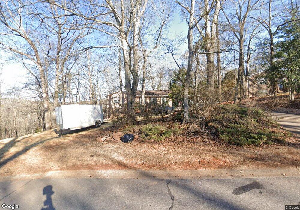
230 Spalding Cir Athens, GA 30605
Estimated Value: $296,615 - $361,000
--
Bed
--
Bath
1,798
Sq Ft
$184/Sq Ft
Est. Value
About This Home
This home is located at 230 Spalding Cir, Athens, GA 30605 and is currently estimated at $331,154, approximately $184 per square foot. 230 Spalding Cir is a home located in Clarke County with nearby schools including Barnett Shoals Elementary School, Hilsman Middle School, and Cedar Shoals High School.
Ownership History
Date
Name
Owned For
Owner Type
Purchase Details
Closed on
Feb 17, 2023
Sold by
Rafal Samuel Allen
Bought by
Rafal Sandra Graves
Current Estimated Value
Purchase Details
Closed on
Apr 30, 1998
Sold by
Cook Carolyn S
Bought by
Rafal Samuel Allen and Sandra Graves
Purchase Details
Closed on
Jan 1, 1998
Sold by
Cook Carolyn S
Bought by
Cook Carolyn S
Purchase Details
Closed on
Feb 14, 1994
Sold by
Cook L Victor
Bought by
Cook Carolyn S
Create a Home Valuation Report for This Property
The Home Valuation Report is an in-depth analysis detailing your home's value as well as a comparison with similar homes in the area
Home Values in the Area
Average Home Value in this Area
Purchase History
| Date | Buyer | Sale Price | Title Company |
|---|---|---|---|
| Rafal Sandra Graves | $223,198 | -- | |
| Rafal Samuel Allen | $110,000 | -- | |
| Cook Carolyn S | -- | -- | |
| Cook Carolyn S | -- | -- |
Source: Public Records
Tax History Compared to Growth
Tax History
| Year | Tax Paid | Tax Assessment Tax Assessment Total Assessment is a certain percentage of the fair market value that is determined by local assessors to be the total taxable value of land and additions on the property. | Land | Improvement |
|---|---|---|---|---|
| 2025 | $3,253 | $130,190 | $15,000 | $115,190 |
| 2024 | $3,253 | $120,674 | $15,000 | $105,674 |
| 2023 | $2,155 | $103,976 | $15,000 | $88,976 |
| 2022 | $2,529 | $89,279 | $15,000 | $74,279 |
| 2021 | $2,133 | $73,280 | $15,000 | $58,280 |
| 2020 | $1,943 | $67,644 | $15,000 | $52,644 |
| 2019 | $1,867 | $64,987 | $15,000 | $49,987 |
| 2018 | $1,777 | $62,342 | $15,000 | $47,342 |
| 2017 | $1,518 | $54,726 | $15,000 | $39,726 |
| 2016 | $1,514 | $54,603 | $15,000 | $39,603 |
| 2015 | $1,523 | $54,790 | $15,000 | $39,790 |
| 2014 | $1,565 | $55,944 | $15,000 | $40,944 |
Source: Public Records
Map
Nearby Homes
- 220 Spalding Cir
- 210 Spalding Cir
- 250 Spalding Cir
- 225 Spalding Cir
- 205 Spalding Cir
- 200 Spalding Cir
- 260 Spalding Cir
- 120 Spalding Ct
- 255 Spalding Cir Unit n/a
- 255 Spalding Cir
- 130 Spalding Ct
- 270 Spalding Cir
- 265 Spalding Cir
- 185 Spalding Cir
- 180 Spalding Cir
- 142 Spalding Ct
- 180 Spalding Cir
- 280 Spalding Cir
- 275 Spalding Cir
- 135 Spalding Ct