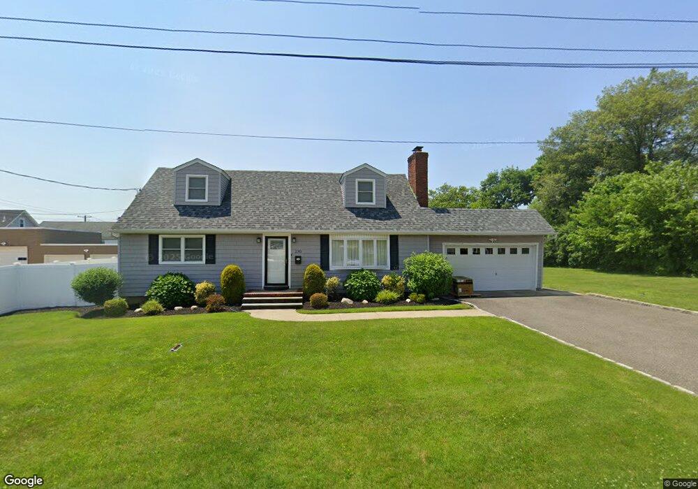
230 Stonehinge Ln Carle Place, NY 11514
Estimated Value: $910,515 - $1,010,000
4
Beds
3
Baths
1,538
Sq Ft
$624/Sq Ft
Est. Value
About This Home
This home is located at 230 Stonehinge Ln, Carle Place, NY 11514 and is currently estimated at $960,258, approximately $624 per square foot. 230 Stonehinge Ln is a home located in Nassau County with nearby schools including Rushmore Avenue School, Cherry Lane School, and Carle Place High School.
Ownership History
Date
Name
Owned For
Owner Type
Purchase Details
Closed on
Nov 30, 2017
Sold by
Denicola Michael D and White Maria
Bought by
Corona Milady
Current Estimated Value
Home Financials for this Owner
Home Financials are based on the most recent Mortgage that was taken out on this home.
Original Mortgage
$340,000
Outstanding Balance
$286,250
Interest Rate
3.94%
Mortgage Type
New Conventional
Estimated Equity
$674,008
Purchase Details
Closed on
Jun 16, 2017
Sold by
Volino Anthony W and Last Will And Testament Of Pas
Bought by
Denicola Michael D and White Maria
Create a Home Valuation Report for This Property
The Home Valuation Report is an in-depth analysis detailing your home's value as well as a comparison with similar homes in the area
Home Values in the Area
Average Home Value in this Area
Purchase History
| Date | Buyer | Sale Price | Title Company |
|---|---|---|---|
| Corona Milady | $675,000 | -- | |
| Denicola Michael D | $420,000 | At Cost Abstract Inc |
Source: Public Records
Mortgage History
| Date | Status | Borrower | Loan Amount |
|---|---|---|---|
| Open | Corona Milady | $340,000 |
Source: Public Records
Tax History
| Year | Tax Paid | Tax Assessment Tax Assessment Total Assessment is a certain percentage of the fair market value that is determined by local assessors to be the total taxable value of land and additions on the property. | Land | Improvement |
|---|---|---|---|---|
| 2025 | $12,634 | $560 | $268 | $292 |
| 2024 | $3,655 | $582 | $279 | $303 |
Source: Public Records
Map
Nearby Homes
- 229 Rushmore Ave
- 225 Rushmore Ave
- 81 Ward St
- 146 Longwood Ave
- 45 Manchester St
- 16 8th St
- 294 Curtis Ave
- 53 Atlantic Ave
- 49 Atlantic Ave
- 31 Broadmoor Ln
- 201 Jamaica Blvd
- 24 Walnut St
- 211 Mineola Ave
- 45 Evelyn Ave
- 332 Jamaica Blvd
- 330 Ellison Ave
- 8 Rockaway Ave
- 350 Pin Oak Ln
- 83 Renison Dr
- 6 Marietta Dr
- 77 Cherry Ln
- 73 Cherry Ln
- 511 Westbury Ave
- 233 Stonehinge Ln
- 231 Stonehinge Ln
- 235 Stonehinge Ln
- 236 Stonehinge Ln
- 525 Westbury Ave
- 241 Stonehinge Ln
- 241 Stonehinge Ln
- 241 Stonehinge Ln
- 248 Cherry Ln
- 6 Sicardi Place
- 4 Sicardi Place
- 520 Westbury Ave
- 535 Westbury Ave
- 10 Sicardi Place
- 537 Westbury Ave
- 537 Westbury Ave Unit 539
- 14 Sicardi Place
Your Personal Tour Guide
Ask me questions while you tour the home.