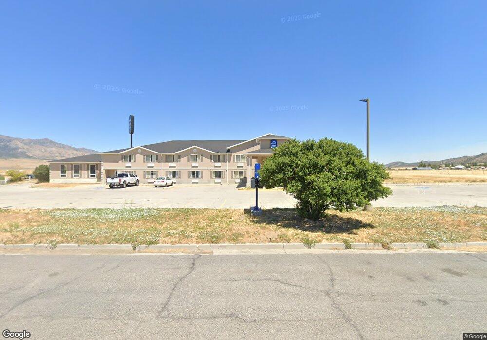
230 W 400 Rd N Scipio, UT 84656
--
Bed
--
Bath
--
Sq Ft
1.66
Acres
About This Home
This home is located at 230 W 400 Rd N, Scipio, UT 84656. 230 W 400 Rd N is a home located in Millard County.
Ownership History
Date
Name
Owned For
Owner Type
Purchase Details
Closed on
Jun 20, 2024
Sold by
Isource Cloud Services Llc
Bought by
Scipio Hospitality 230 Llc
Home Financials for this Owner
Home Financials are based on the most recent Mortgage that was taken out on this home.
Original Mortgage
$1,330,000
Outstanding Balance
$1,312,084
Interest Rate
7.09%
Mortgage Type
New Conventional
Purchase Details
Closed on
Mar 15, 2022
Sold by
Manmohan Grewal
Bought by
Isource Cloud Services Llc
Home Financials for this Owner
Home Financials are based on the most recent Mortgage that was taken out on this home.
Original Mortgage
$1,550,000
Interest Rate
3.92%
Mortgage Type
Seller Take Back
Purchase Details
Closed on
Apr 10, 2007
Sold by
Scipio Enterprises Llc
Bought by
Sandy Crossing Enterprises Inc
Create a Home Valuation Report for This Property
The Home Valuation Report is an in-depth analysis detailing your home's value as well as a comparison with similar homes in the area
Home Values in the Area
Average Home Value in this Area
Purchase History
| Date | Buyer | Sale Price | Title Company |
|---|---|---|---|
| Scipio Hospitality 230 Llc | -- | Meridian Title | |
| Isource Cloud Services Llc | -- | Juab Title & Abstract | |
| Grewal Manmohan | -- | Juab Title & Abstract | |
| Sandy Crossing Enterprises Inc | -- | -- |
Source: Public Records
Mortgage History
| Date | Status | Borrower | Loan Amount |
|---|---|---|---|
| Open | Scipio Hospitality 230 Llc | $1,330,000 | |
| Previous Owner | Isource Cloud Services Llc | $1,550,000 |
Source: Public Records
Tax History Compared to Growth
Tax History
| Year | Tax Paid | Tax Assessment Tax Assessment Total Assessment is a certain percentage of the fair market value that is determined by local assessors to be the total taxable value of land and additions on the property. | Land | Improvement |
|---|---|---|---|---|
| 2025 | $11,371 | $1,450,745 | $66,700 | $1,384,045 |
| 2024 | $11,371 | $986,907 | $66,991 | $919,916 |
| 2023 | $9,942 | $986,907 | $66,991 | $919,916 |
| 2022 | $10,755 | $986,907 | $66,991 | $919,916 |
| 2021 | $10,890 | $958,270 | $39,075 | $919,195 |
| 2020 | $10,811 | $958,421 | $39,075 | $919,346 |
| 2019 | $10,767 | $958,574 | $39,075 | $919,499 |
| 2018 | $10,528 | $958,726 | $39,075 | $919,651 |
| 2017 | $10,515 | $915,810 | $39,075 | $876,735 |
| 2016 | $10,025 | $908,027 | $35,925 | $872,102 |
| 2015 | $10,036 | $908,027 | $35,925 | $872,102 |
| 2014 | -- | $908,027 | $35,925 | $872,102 |
| 2013 | -- | $908,027 | $35,925 | $872,102 |
Source: Public Records
Map
Nearby Homes
- 85 E 200 Rd N
- 7 N 200 W
- 2000 N 500 W
- 9155 Red Canyon Rd Unit 15
- 13051 Red Canyon Rd Unit 3
- 9160 Red Canyon Rd Unit 5
- 700 W 1100 S
- 8300 N 3300 E
- Mecham Rd
- 290 N 200 Rd E
- 445 S Main St
- Parcel 4609 4609x1 4609x2
- 66 W 100 S
- 26 N Mount Baldy Estates Rd Unit 26
- 117 E 300 S
- 36 W 100 S
- 155 S 200 W
- 420 W 350 N
- 80 N 400 W
- 165 E Center