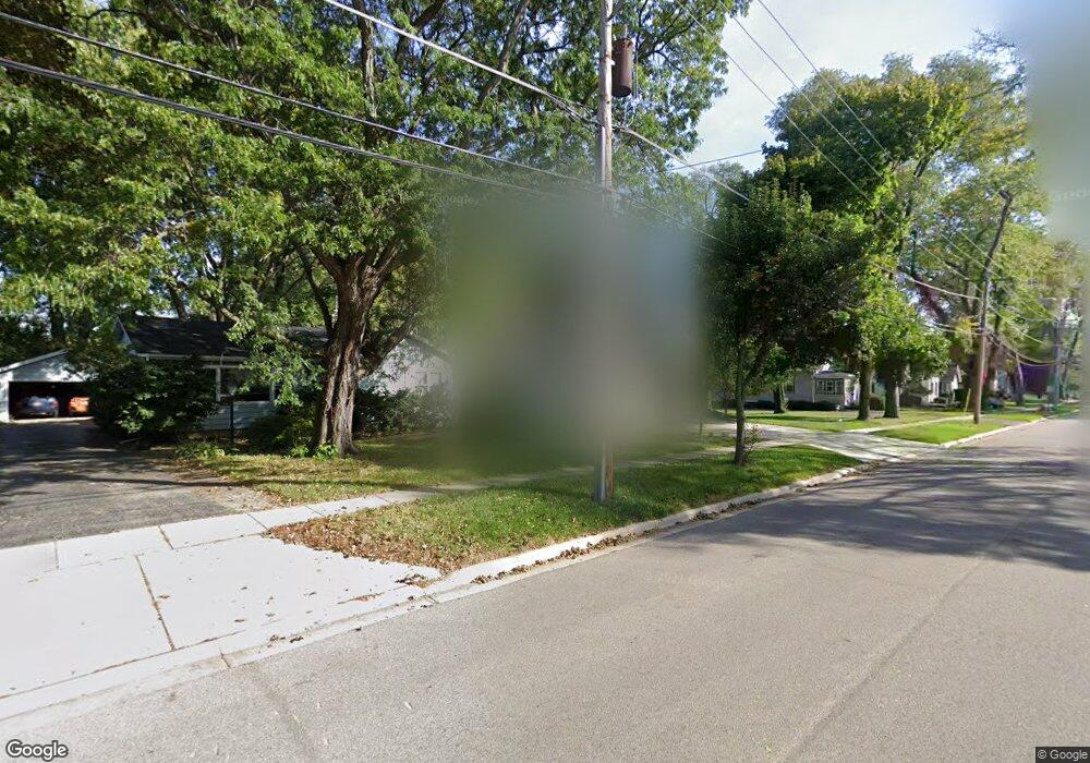
230 W Austin Ave Libertyville, IL 60048
South Libertyville NeighborhoodEstimated Value: $448,000 - $1,481,000
3
Beds
4
Baths
3,938
Sq Ft
$266/Sq Ft
Est. Value
About This Home
This home is located at 230 W Austin Ave, Libertyville, IL 60048 and is currently estimated at $1,045,819, approximately $265 per square foot. 230 W Austin Ave is a home located in Lake County with nearby schools including Rockland Elementary School, Highland Middle School, and Libertyville High School.
Ownership History
Date
Name
Owned For
Owner Type
Purchase Details
Closed on
Sep 4, 2015
Sold by
Nicholson John R and Nicholson Victoria M
Bought by
The John Robert Nicholson 2011 Revocable
Current Estimated Value
Purchase Details
Closed on
Jan 29, 2010
Sold by
Nicholson John R and Nicholson Victoria M
Bought by
Nicholson John R and Nicholson Victoria M
Purchase Details
Closed on
Dec 15, 2006
Sold by
The Alois A Pakosta Trust
Bought by
Nicholson John R and Nicholson Victoria M
Create a Home Valuation Report for This Property
The Home Valuation Report is an in-depth analysis detailing your home's value as well as a comparison with similar homes in the area
Home Values in the Area
Average Home Value in this Area
Purchase History
| Date | Buyer | Sale Price | Title Company |
|---|---|---|---|
| The John Robert Nicholson 2011 Revocable | -- | Attorney | |
| Nicholson John R | -- | None Available | |
| Nicholson John R | $318,000 | None Available |
Source: Public Records
Tax History Compared to Growth
Tax History
| Year | Tax Paid | Tax Assessment Tax Assessment Total Assessment is a certain percentage of the fair market value that is determined by local assessors to be the total taxable value of land and additions on the property. | Land | Improvement |
|---|---|---|---|---|
| 2024 | $21,658 | $300,244 | $73,140 | $227,104 |
| 2023 | $20,302 | $276,927 | $67,460 | $209,467 |
| 2022 | $20,302 | $259,843 | $71,253 | $188,590 |
| 2021 | $19,551 | $254,249 | $69,719 | $184,530 |
| 2020 | $18,821 | $249,975 | $68,547 | $181,428 |
| 2019 | $19,772 | $266,307 | $67,895 | $198,412 |
| 2018 | $15,858 | $272,158 | $67,299 | $204,859 |
| 2017 | $19,063 | $263,565 | $65,174 | $198,391 |
| 2016 | $19,493 | $263,565 | $61,794 | $201,771 |
| 2015 | $19,340 | $246,346 | $57,757 | $188,589 |
| 2014 | $17,855 | $224,679 | $53,253 | $171,426 |
| 2012 | $17,843 | $228,919 | $54,258 | $174,661 |
Source: Public Records
Map
Nearby Homes
- 426 S Milwaukee Ave
- 1754 Glenmore Rd
- 308 Mckinley Ave
- 0 Ames St
- 423 Ames St
- 747 Garfield Ave Unit C
- 401 S 4th Ave
- 777 Garfield Ave Unit A
- 851 Garfield Ave Unit C
- 164 W Golf Rd Unit A
- 551 W Park Ave Unit E
- 323 W Golf Rd
- 112 3rd St
- 533 Drake St
- 121 4th St
- 212 Elm Ct
- 785 Meadow Ln
- 217 E Church St
- 601 Broadway St
- 1017 Juniper Pkwy
- 164 W Austin Ave
- 236 W Austin Ave
- 244 W Austin Ave
- 160 W Austin Ave
- 223 W Rockland Rd
- 248 W Austin Ave
- 227 W Rockland Rd
- 156 W Austin Ave
- 219 W Rockland Rd
- 231 W Rockland Rd
- 237 W Austin Ave
- 217 W Rockland Rd
- 607 Fairview Ave
- 245 W Austin Ave
- 150 W Austin Ave
- 241 W Austin Ave
- 502 S Stewart Ave
- 247 W Austin Ave
- 161 W Austin Ave
- 211 W Rockland Rd