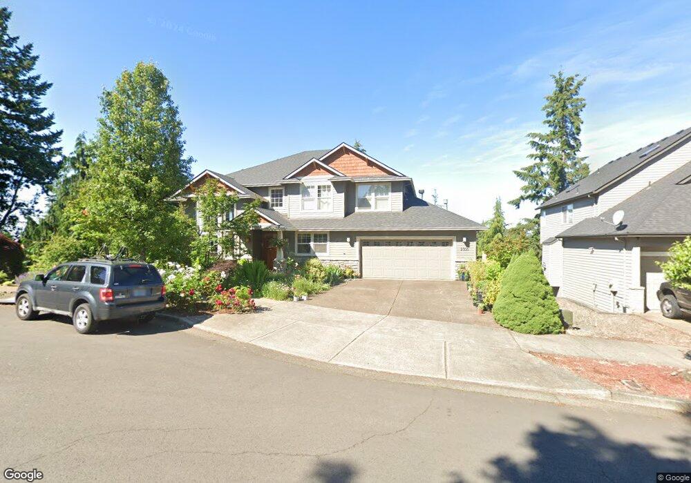
2300 Crestview Dr West Linn, OR 97068
Tanner Basin NeighborhoodEstimated Value: $986,278 - $1,354,000
4
Beds
4
Baths
3,646
Sq Ft
$302/Sq Ft
Est. Value
About This Home
This home is located at 2300 Crestview Dr, West Linn, OR 97068 and is currently estimated at $1,100,570, approximately $301 per square foot. 2300 Crestview Dr is a home located in Clackamas County with nearby schools including Trillium Creek Primary School, Rosemont Ridge Middle School, and West Linn High School.
Ownership History
Date
Name
Owned For
Owner Type
Purchase Details
Closed on
Jun 3, 1999
Sold by
Oakridge Estates Development Corp
Bought by
Radcliffe Wade and Radcliffe Maraya Deline
Current Estimated Value
Home Financials for this Owner
Home Financials are based on the most recent Mortgage that was taken out on this home.
Original Mortgage
$326,600
Interest Rate
8.18%
Create a Home Valuation Report for This Property
The Home Valuation Report is an in-depth analysis detailing your home's value as well as a comparison with similar homes in the area
Home Values in the Area
Average Home Value in this Area
Purchase History
| Date | Buyer | Sale Price | Title Company |
|---|---|---|---|
| Radcliffe Wade | $82,000 | Pacific Nw Title |
Source: Public Records
Mortgage History
| Date | Status | Borrower | Loan Amount |
|---|---|---|---|
| Previous Owner | Radcliffe Wade | $326,600 |
Source: Public Records
Tax History Compared to Growth
Tax History
| Year | Tax Paid | Tax Assessment Tax Assessment Total Assessment is a certain percentage of the fair market value that is determined by local assessors to be the total taxable value of land and additions on the property. | Land | Improvement |
|---|---|---|---|---|
| 2025 | $11,691 | $606,659 | -- | -- |
| 2024 | $11,254 | $588,990 | -- | -- |
| 2023 | $11,254 | $571,835 | $0 | $0 |
| 2022 | $10,622 | $555,180 | $0 | $0 |
| 2021 | $9,886 | $539,010 | $0 | $0 |
| 2020 | $9,815 | $523,311 | $0 | $0 |
| 2019 | $9,383 | $508,069 | $0 | $0 |
| 2018 | $8,944 | $493,271 | $0 | $0 |
| 2017 | $8,539 | $478,904 | $0 | $0 |
| 2016 | $8,174 | $464,955 | $0 | $0 |
| 2015 | $7,829 | $451,413 | $0 | $0 |
| 2014 | $7,387 | $438,265 | $0 | $0 |
Source: Public Records
Map
Nearby Homes
- 23019 Bland Cir
- 23136 Bland Cir
- 2201 Satter St
- 2050 Alpine Dr
- 2285 Satter St
- 22872 Weatherhill Rd
- 2037 De Vries Way
- 2025 De Vries Way
- 6735 Summerlinn Way Unit 87
- Allstone Plan at Savannah Summit
- Milton Plan at Savannah Summit
- 2134 Eleanor Rd
- 6840 Summerlinn Way Unit 93
- 6505 Summerlinn Way Unit 79
- 23000 Bland Cir
- 22998 Bland Cir
- 22994 Bland Cir
- 22990 Bland Cir
- 2378 Falcon Dr
- 3135 Summerlinn Dr Unit 40
- 2290 Crestview Dr
- 23069 Bland Cir
- 2310 Crestview Dr
- 23067 Bland Cir
- 2280 Crestview Dr
- 23075 Bland Cir
- 2320 Crestview Dr
- 2305 Crestview Dr
- 23063 Bland Cir
- 2295 Crestview Dr
- 2270 Crestview Dr
- 23101 Bland Cir
- 23083 Bland Cir
- 2330 Crestview Dr
- 2285 Crestview Dr
- 23103 Bland Cir
- 2260 Crestview Dr
- 23055 Bland Cir
- 23120 Bland Cir
- 2442 Crestview Dr Unit Lot 9