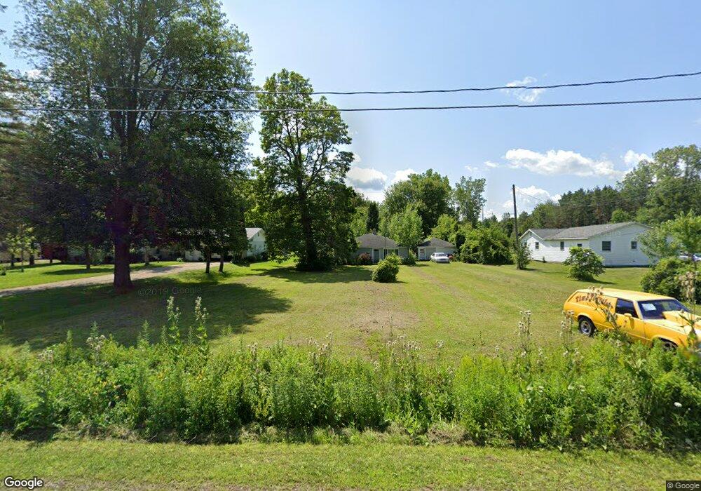
2300 Curtis Rd Birch Run, MI 48415
Estimated Value: $93,000 - $128,000
2
Beds
1
Bath
896
Sq Ft
$126/Sq Ft
Est. Value
About This Home
This home is located at 2300 Curtis Rd, Birch Run, MI 48415 and is currently estimated at $112,867, approximately $125 per square foot. 2300 Curtis Rd is a home located in Saginaw County with nearby schools including Thomas White School, Martin G. Atkins Elementary School, and Bridgeport High School.
Ownership History
Date
Name
Owned For
Owner Type
Purchase Details
Closed on
Jan 5, 2024
Sold by
Gotham Garry L
Bought by
Scott Robert Joe
Current Estimated Value
Purchase Details
Closed on
May 16, 2018
Sold by
Saginaw County Land Bank
Bought by
Gotham Garry L
Purchase Details
Closed on
Dec 11, 2000
Home Financials for this Owner
Home Financials are based on the most recent Mortgage that was taken out on this home.
Original Mortgage
$34,850
Interest Rate
10.49%
Mortgage Type
Purchase Money Mortgage
Create a Home Valuation Report for This Property
The Home Valuation Report is an in-depth analysis detailing your home's value as well as a comparison with similar homes in the area
Home Values in the Area
Average Home Value in this Area
Purchase History
| Date | Buyer | Sale Price | Title Company |
|---|---|---|---|
| Scott Robert Joe | -- | None Listed On Document | |
| Gotham Garry L | $4,500 | -- | |
| -- | $42,500 | -- | |
| Pledger Timothy A | $42,500 | -- |
Source: Public Records
Mortgage History
| Date | Status | Borrower | Loan Amount |
|---|---|---|---|
| Previous Owner | Pledger Timothy A | $34,850 |
Source: Public Records
Tax History Compared to Growth
Tax History
| Year | Tax Paid | Tax Assessment Tax Assessment Total Assessment is a certain percentage of the fair market value that is determined by local assessors to be the total taxable value of land and additions on the property. | Land | Improvement |
|---|---|---|---|---|
| 2025 | $1,936 | $41,000 | $0 | $0 |
| 2024 | $322 | $42,100 | $0 | $0 |
| 2023 | $307 | $33,700 | $0 | $0 |
| 2022 | $1,645 | $30,600 | $0 | $0 |
| 2021 | $1,541 | $29,100 | $0 | $0 |
| 2020 | $1,504 | $27,000 | $0 | $0 |
| 2019 | $1,435 | $30,800 | $6,900 | $23,900 |
| 2018 | $0 | $0 | $0 | $0 |
| 2017 | $1,304 | $29,400 | $0 | $0 |
| 2016 | $1,683 | $29,300 | $0 | $0 |
| 2014 | -- | $29,600 | $0 | $23,500 |
| 2013 | -- | $29,500 | $0 | $0 |
Source: Public Records
Map
Nearby Homes
- 1750 Curtis Rd
- 6580 Bell Rd
- VL E Moore Rd
- 1944 E Moore Rd
- 3130 E Moore Rd
- VL Fort Rd
- 1374 E Moore Rd
- 7863 Sheridan Rd Lot #2 Rd
- 7863 Sheridan Rd Lot 4 Rd
- 7863 Sheridan Rd Lot #3 Rd
- 1160 E Moore Rd
- 7365 Cole Rd
- 1321 Ruby Ann Dr
- 2000 Sloan Rd
- 5521 Cole Rd
- 1865 W Moore Rd
- 4333 Riverview Dr
- 1891 W Moore Rd
- 5126 Youngstown Place
- 1261 Houlihan Rd