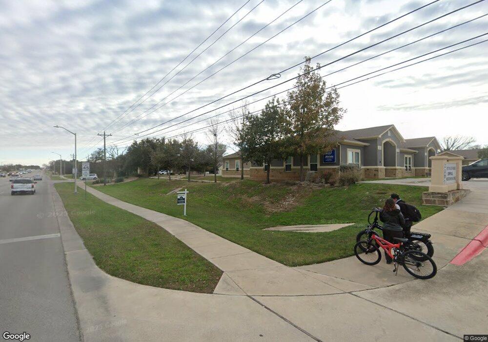
2301 Bagdad Rd Unit 401 Cedar Park, TX 78613
Estimated Value: $346,200
--
Bed
--
Bath
826
Sq Ft
$419/Sq Ft
Est. Value
About This Home
This home is located at 2301 Bagdad Rd Unit 401, Cedar Park, TX 78613 and is currently priced at $346,200, approximately $419 per square foot. 2301 Bagdad Rd Unit 401 is a home located in Williamson County with nearby schools including Patricia Knowles Elementary School, Running Brushy Middle, and Leander High School.
Ownership History
Date
Name
Owned For
Owner Type
Purchase Details
Closed on
Jul 9, 2020
Sold by
Leander Investment Group Llc
Bought by
Narine Kirby Michael
Current Estimated Value
Home Financials for this Owner
Home Financials are based on the most recent Mortgage that was taken out on this home.
Original Mortgage
$193,757
Outstanding Balance
$172,130
Interest Rate
3.2%
Mortgage Type
New Conventional
Purchase Details
Closed on
Jun 19, 2017
Sold by
Bagdad Investments Ltd
Bought by
Leander Investment Group Llc
Home Financials for this Owner
Home Financials are based on the most recent Mortgage that was taken out on this home.
Original Mortgage
$136,000
Interest Rate
4.05%
Mortgage Type
Purchase Money Mortgage
Create a Home Valuation Report for This Property
The Home Valuation Report is an in-depth analysis detailing your home's value as well as a comparison with similar homes in the area
Home Values in the Area
Average Home Value in this Area
Purchase History
| Date | Buyer | Sale Price | Title Company |
|---|---|---|---|
| Narine Kirby Michael | -- | Lnd | |
| Leander Investment Group Llc | -- | None Available |
Source: Public Records
Mortgage History
| Date | Status | Borrower | Loan Amount |
|---|---|---|---|
| Open | Narine Kirby Michael | $193,757 | |
| Previous Owner | Leander Investment Group Llc | $136,000 |
Source: Public Records
Tax History Compared to Growth
Tax History
| Year | Tax Paid | Tax Assessment Tax Assessment Total Assessment is a certain percentage of the fair market value that is determined by local assessors to be the total taxable value of land and additions on the property. | Land | Improvement |
|---|---|---|---|---|
| 2025 | $6,641 | $330,017 | $38,867 | $291,150 |
| 2024 | $6,641 | $337,404 | $38,867 | $298,537 |
| 2023 | $6,101 | $309,415 | $38,867 | $270,548 |
| 2022 | $5,104 | $236,707 | $25,912 | $210,795 |
| 2021 | $5,316 | $227,950 | $25,912 | $202,038 |
| 2020 | $4,040 | $163,676 | $24,616 | $139,060 |
| 2019 | $4,302 | $169,191 | $25,912 | $143,279 |
| 2018 | $4,192 | $164,844 | $25,912 | $138,932 |
Source: Public Records
Map
Nearby Homes
- 2217 Drue Ln
- 2312 Mcgregor Ln
- 2411 Glen Field Dr
- 1315 W New Hope Dr
- 2516 Glen Field Dr
- 2004 Yaupon Trail
- 2211 Bakers Way
- 2505 Cypress Ln
- 2603 White Stallion Way
- 1600 Gretchen Dr
- 2415 Elkhorn Ranch Rd
- 2500 Poplar Ln
- 2742 Granite Creek Dr
- 2508 Tumbling River Dr
- 505 Libani Ln
- 2804 Prosperity
- 2305 S Bagdad Rd
- 1102 Oak Hollow Dr
- 1714 Deodara Dr
- 1805 Timber Ridge Dr
- 2301 Bagdad Rd Unit 305
- 2301 Bagdad Rd Unit 304
- 2301 Bagdad Rd Unit 303
- 2301 Bagdad Rd Unit 301
- 2301 Bagdad Rd Unit 302
- 2301 Bagdad Rd Unit 405
- 2301 Bagdad Rd Unit 403
- 2301 Bagdad Rd Unit 401
- 2301 Bagdad Rd Unit 404
- 2301 Bagdad Rd Unit 402
- 2301 Bagdad Rd Unit 305
- 2301 Bagdad Rd Unit 303
- 2301 Bagdad Rd Unit 304
- 2301 Bagdad Rd Unit 301
- 2301 Bagdad Rd Unit 302
- 2301 Bagdad Rd Unit 405
- 2301 Bagdad Rd Unit 403
- 2301 Bagdad Rd Unit 404
- 2301 Bagdad Rd Unit 402
- 2301 Bagdad Rd Unit 103