Estimated Value: $54,549 - $296,000
--
Bed
--
Bath
--
Sq Ft
3.5
Acres
About This Home
This home is located at 2301 Ga Highway 188 N, Cairo, GA 39827 and is currently estimated at $154,183. 2301 Ga Highway 188 N is a home with nearby schools including Cairo High School.
Ownership History
Date
Name
Owned For
Owner Type
Purchase Details
Closed on
Apr 4, 2024
Sold by
Herring Patricia H
Bought by
Braswell Albert W and Braswell Susan M
Current Estimated Value
Purchase Details
Closed on
Mar 5, 2013
Sold by
Jpmorgan Chase Bank Nation
Bought by
Federal Home Loan Mortgage Corporation
Purchase Details
Closed on
Dec 22, 2009
Sold by
Wiiliams Jeanette
Bought by
Herring Patricia
Purchase Details
Closed on
Jun 16, 1997
Sold by
Bearden Robert H
Bought by
Williams Jeanette
Purchase Details
Closed on
Oct 18, 1996
Sold by
Georgia Pines Ent Inc
Bought by
Bearden Robert H
Create a Home Valuation Report for This Property
The Home Valuation Report is an in-depth analysis detailing your home's value as well as a comparison with similar homes in the area
Home Values in the Area
Average Home Value in this Area
Purchase History
| Date | Buyer | Sale Price | Title Company |
|---|---|---|---|
| Braswell Albert W | -- | -- | |
| Federal Home Loan Mortgage Corporation | $170,774 | -- | |
| Jpmorgan Chase Bank National A | $170,774 | -- | |
| Herring Patricia | -- | -- | |
| Williams Jeanette | $22,500 | -- | |
| Bearden Robert H | $75,200 | -- |
Source: Public Records
Tax History Compared to Growth
Tax History
| Year | Tax Paid | Tax Assessment Tax Assessment Total Assessment is a certain percentage of the fair market value that is determined by local assessors to be the total taxable value of land and additions on the property. | Land | Improvement |
|---|---|---|---|---|
| 2024 | $304 | $9,874 | $6,157 | $3,717 |
| 2023 | $415 | $13,479 | $6,790 | $6,689 |
| 2022 | $415 | $13,479 | $6,790 | $6,689 |
| 2021 | $416 | $13,479 | $6,790 | $6,689 |
| 2020 | $418 | $13,479 | $6,790 | $6,689 |
| 2019 | $418 | $13,479 | $6,790 | $6,689 |
| 2018 | $392 | $13,479 | $6,790 | $6,689 |
| 2017 | $373 | $13,479 | $6,790 | $6,689 |
| 2016 | $375 | $13,479 | $6,790 | $6,689 |
| 2015 | $371 | $13,479 | $6,790 | $6,689 |
| 2014 | $371 | $13,479 | $6,790 | $6,689 |
| 2013 | -- | $17,888 | $11,200 | $6,688 |
Source: Public Records
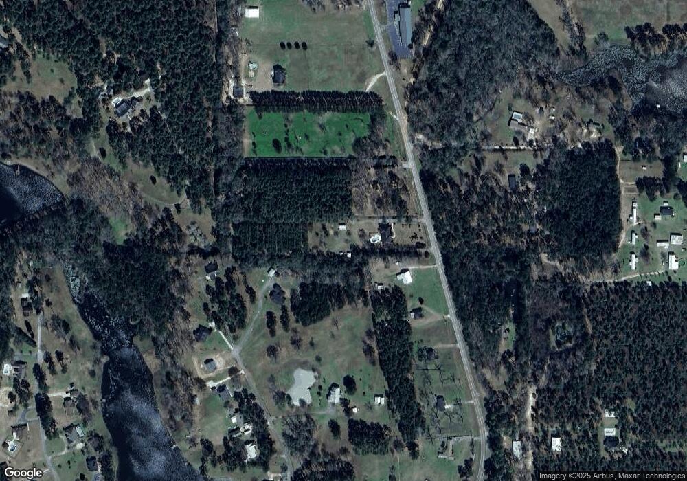
Map
Nearby Homes
- 00 State Route 188
- 0 State Route 188
- 414 Woodland Rd
- 0 NE Airport Rd Unit 145784
- 3109 U S 84
- 3109 U S 84
- 2600 U S 84
- 78.6 Ac Strickland Rd
- 3136 State Route 188
- 0 20th St NE
- 00 20th St NE
- 66 22nd St NE
- 21 24th St NE
- 00 NW 9th Ave
- 1210 Elkins Rd
- 00 #10 Oak Bend Circle 4 38 Acres
- 711 2nd Ave NE
- 2975 U S 84
- 105 Woodridge Ln
- 2427 Pierce Chapel Rd
- 178 Wood Duck Dr
- 2307 State Route 188
- 2307 Ga Highway 188 N
- 2285 Ga Highway 188 N
- 184 Wood Duck Dr
- 3 State Route 188 Unit 3
- 2273 Ga Highway 188 N
- 181 Wood Duck Dr
- 162 Wood Duck Dr
- 2257 Ga Highway 188 N
- 2367 Ga Highway 188 N
- Lot # 6 Wood Duck Ln
- 00 Wood Duck Ln
- 000 Wood Duck Ln
- 2257 State Route 188
- 157 Wood Duck Dr
- 2268 Ga Highway 188 N
- 171 Wood Duck Dr
- 145 Wood Duck Dr
- 2331 Ga Highway 188 N