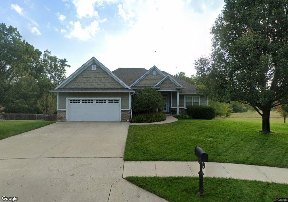
2301 Vancouver Cir Columbia, MO 65203
Estimated Value: $506,000 - $674,000
4
Beds
3
Baths
2,860
Sq Ft
$195/Sq Ft
Est. Value
About This Home
This home is located at 2301 Vancouver Cir, Columbia, MO 65203 and is currently estimated at $557,326, approximately $194 per square foot. 2301 Vancouver Cir is a home located in Boone County with nearby schools including Rock Bridge Elementary School, Ann Hawkins Gentry Middle School, and Rock Bridge High School.
Ownership History
Date
Name
Owned For
Owner Type
Purchase Details
Closed on
Nov 20, 2006
Sold by
Jqb Construction Inc
Bought by
Schlottach Mark J and Schlottach Michele R
Current Estimated Value
Home Financials for this Owner
Home Financials are based on the most recent Mortgage that was taken out on this home.
Original Mortgage
$254,300
Outstanding Balance
$151,770
Interest Rate
6.37%
Mortgage Type
New Conventional
Estimated Equity
$405,556
Create a Home Valuation Report for This Property
The Home Valuation Report is an in-depth analysis detailing your home's value as well as a comparison with similar homes in the area
Home Values in the Area
Average Home Value in this Area
Purchase History
| Date | Buyer | Sale Price | Title Company |
|---|---|---|---|
| Schlottach Mark J | -- | Boone Central Title Co |
Source: Public Records
Mortgage History
| Date | Status | Borrower | Loan Amount |
|---|---|---|---|
| Open | Schlottach Mark J | $254,300 |
Source: Public Records
Tax History Compared to Growth
Tax History
| Year | Tax Paid | Tax Assessment Tax Assessment Total Assessment is a certain percentage of the fair market value that is determined by local assessors to be the total taxable value of land and additions on the property. | Land | Improvement |
|---|---|---|---|---|
| 2025 | $4,225 | $71,706 | $7,657 | $64,049 |
| 2024 | $4,225 | $62,624 | $7,657 | $54,967 |
| 2023 | $4,190 | $62,624 | $7,657 | $54,967 |
| 2022 | $4,024 | $60,211 | $7,657 | $52,554 |
| 2021 | $4,032 | $60,211 | $7,657 | $52,554 |
| 2020 | $4,126 | $57,896 | $7,657 | $50,239 |
| 2019 | $4,126 | $57,896 | $7,657 | $50,239 |
| 2018 | $3,995 | $0 | $0 | $0 |
| 2017 | $3,947 | $55,670 | $7,657 | $48,013 |
| 2016 | $3,940 | $55,670 | $7,657 | $48,013 |
| 2015 | $3,618 | $55,670 | $7,657 | $48,013 |
| 2014 | $3,630 | $55,670 | $7,657 | $48,013 |
Source: Public Records
Map
Nearby Homes
- 7400 Pemberton Dr
- 2104 Port Townsend Ct
- 2206 Port Townsend Ct
- 7506 Wellford Ct
- 7100 Madison Creek Dr
- 1940 W West Way
- LOT 1 & 2 W Old Plank Road (Barcus Ridge) Rd
- 7305 Sella Ct
- 7501 Kirby Knowle Ct
- 7510 Kirby Knowle Ct
- 7200 Rudchester Ct
- 2517 St Regis Ct
- 6815 S Brookhaven Ct
- 7513 Kirby Knowle Ct
- 7333 Sella Ct
- 3108 Timber Run Dr
- 3001 Rivington Dr
- TR 2 W Route K
- 2821 Clopton Ct
- The Serengeti - Slab Foundation Plan at The Gates - Nature Series
- 2300 Vancouver Cir
- 2303 Vancouver Cir
- 2302 Vancouver Cir
- L 422 Vancouver Cir
- - Vancouver Cir
- 2305 Vancouver Cir
- 2304 Vancouver Cir
- 2306 Vancouver Cir
- 2308 Vancouver Cir
- 2307 Vancouver Cir
- 2306 Redmond Ct
- 2302 Redmond Ct
- 2304 Redmond Ct
- 2310 Redmond Ct
- 2310 Vancouver Cir
- 7006 Cascades Dr
- 2207 Dunleith Ct Unit LOT 321
- 2207 Dunleith Ct
- 2205 Dunleith Ct Unit LOT 320
- 2203 Dunleith Ct Unit LOT 319