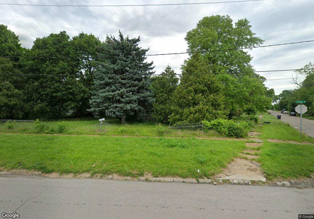
2302 Branch Rd Flint, MI 48506
Potter Longway NeighborhoodEstimated Value: $56,000 - $71,389
3
Beds
1
Bath
1,032
Sq Ft
$60/Sq Ft
Est. Value
About This Home
This home is located at 2302 Branch Rd, Flint, MI 48506 and is currently estimated at $61,597, approximately $59 per square foot. 2302 Branch Rd is a home located in Genesee County with nearby schools including Potter School, Richfield Public School Academy, and Richfield Early Learning Center.
Ownership History
Date
Name
Owned For
Owner Type
Purchase Details
Closed on
Sep 11, 2008
Sold by
Deutsche Bank National Trust Company
Bought by
Deutsche Bank National Trust Company
Current Estimated Value
Purchase Details
Closed on
Mar 13, 2008
Sold by
Barajas Ramiro and Defeyter Evanjelina B
Bought by
Defeyter Scott and Defeyter Evanjelina B
Purchase Details
Closed on
Dec 19, 2007
Sold by
Defeyter Scott and Defeyter Evanjelina
Bought by
Deutsche Bank National Trust Co
Purchase Details
Closed on
Dec 7, 2001
Sold by
Yax William C and Yax Carla J
Bought by
Barajas Ramiro and Defeyter Evangelina B
Home Financials for this Owner
Home Financials are based on the most recent Mortgage that was taken out on this home.
Original Mortgage
$52,181
Interest Rate
6.92%
Mortgage Type
FHA
Create a Home Valuation Report for This Property
The Home Valuation Report is an in-depth analysis detailing your home's value as well as a comparison with similar homes in the area
Home Values in the Area
Average Home Value in this Area
Purchase History
| Date | Buyer | Sale Price | Title Company |
|---|---|---|---|
| Deutsche Bank National Trust Company | -- | None Available | |
| Defeyter Scott | -- | None Available | |
| Deutsche Bank National Trust Co | $39,000 | None Available | |
| Barajas Ramiro | $53,000 | Lawyers Title Insurance Corp |
Source: Public Records
Mortgage History
| Date | Status | Borrower | Loan Amount |
|---|---|---|---|
| Previous Owner | Barajas Ramiro | $52,181 |
Source: Public Records
Tax History
| Year | Tax Paid | Tax Assessment Tax Assessment Total Assessment is a certain percentage of the fair market value that is determined by local assessors to be the total taxable value of land and additions on the property. | Land | Improvement |
|---|---|---|---|---|
| 2025 | $892 | $29,300 | $0 | $0 |
| 2024 | $811 | $26,000 | $0 | $0 |
| 2023 | $799 | $20,300 | $0 | $0 |
| 2022 | $0 | $16,400 | $0 | $0 |
| 2021 | $828 | $15,100 | $0 | $0 |
| 2020 | $750 | $12,900 | $0 | $0 |
| 2019 | $1,181 | $10,000 | $0 | $0 |
| 2018 | $728 | $10,300 | $0 | $0 |
| 2017 | $709 | $0 | $0 | $0 |
| 2016 | $704 | $0 | $0 | $0 |
| 2015 | -- | $0 | $0 | $0 |
| 2014 | -- | $0 | $0 | $0 |
| 2012 | -- | $13,000 | $0 | $0 |
Source: Public Records
Map
Nearby Homes
- 3149 Whittier Ave
- 3213 Holly Ave
- 2701 Branch Rd
- 2719 Branch Rd
- 3232 Dale Ave
- 3018 Dakota Ave
- 2211 Torrance St
- 3413 Churchill Ave
- 2908 Douglas Ave
- 2426 Hoff St
- 3314 Dakota Ave
- 3614 Holly Ave
- 2321 Levern St
- 2426 Broadway Blvd
- 3413 Dakota Ave
- 2601 Illinois Ave
- 3602 Dakota Ave
- 3617 Davison Rd
- 3421 Brewster St
- 2925 Colorado Ave
- 3113 Whittier Ave
- 3112 Woodrow Ave
- 2320 Branch Rd
- 3116 Woodrow Ave
- 3120 Woodrow Ave Unit Bldg-Unit
- 3120 Woodrow Ave
- 3117 Whittier Ave
- 2212 Branch Rd
- 3124 Woodrow Ave
- 3128 Woodrow Ave
- 2402 Branch Rd
- 3125 Whittier Ave
- 3118 Whittier Ave
- 3132 Woodrow Ave
- 3115 Woodrow Ave
- 2208 Branch Rd
- 3129 Whittier Ave
- 3119 Woodrow Ave
- 3136 Woodrow Ave
- 3126 Whittier Ave
Your Personal Tour Guide
Ask me questions while you tour the home.