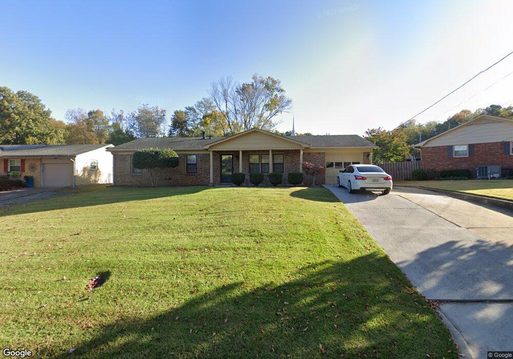
2302 Rodgers Dr NE Huntsville, AL 35811
Chapman Heights NeighborhoodEstimated Value: $233,738 - $260,000
--
Bed
1
Bath
1,506
Sq Ft
$167/Sq Ft
Est. Value
About This Home
This home is located at 2302 Rodgers Dr NE, Huntsville, AL 35811 and is currently estimated at $251,185, approximately $166 per square foot. 2302 Rodgers Dr NE is a home with nearby schools including Chapman Elementary School, Chapman Middle School, and Lee High School.
Ownership History
Date
Name
Owned For
Owner Type
Purchase Details
Closed on
Sep 9, 2021
Sold by
Mcdonald David H and Mcdonald Mary Ann
Bought by
Power Taylor
Current Estimated Value
Home Financials for this Owner
Home Financials are based on the most recent Mortgage that was taken out on this home.
Original Mortgage
$199,500
Outstanding Balance
$181,259
Interest Rate
2.7%
Mortgage Type
New Conventional
Estimated Equity
$69,926
Purchase Details
Closed on
Nov 25, 2009
Sold by
Mcdonald David H and Mcdonald Mary Ann
Bought by
Mcdonald David H and Mcdonald Mary Ann
Create a Home Valuation Report for This Property
The Home Valuation Report is an in-depth analysis detailing your home's value as well as a comparison with similar homes in the area
Home Values in the Area
Average Home Value in this Area
Purchase History
| Date | Buyer | Sale Price | Title Company |
|---|---|---|---|
| Power Taylor | $210,000 | None Available | |
| Mcdonald David H | -- | -- |
Source: Public Records
Mortgage History
| Date | Status | Borrower | Loan Amount |
|---|---|---|---|
| Open | Power Taylor | $199,500 |
Source: Public Records
Tax History Compared to Growth
Tax History
| Year | Tax Paid | Tax Assessment Tax Assessment Total Assessment is a certain percentage of the fair market value that is determined by local assessors to be the total taxable value of land and additions on the property. | Land | Improvement |
|---|---|---|---|---|
| 2024 | $1,062 | $17,900 | $4,000 | $13,900 |
| 2023 | $990 | $17,460 | $4,000 | $13,460 |
| 2022 | $882 | $16,040 | $4,000 | $12,040 |
| 2021 | $760 | $13,100 | $2,260 | $10,840 |
| 2020 | $759 | $26,120 | $4,500 | $21,620 |
| 2019 | $689 | $12,680 | $2,250 | $10,430 |
| 2018 | $658 | $12,180 | $0 | $0 |
| 2017 | $658 | $12,180 | $0 | $0 |
| 2016 | $658 | $12,180 | $0 | $0 |
| 2015 | $658 | $12,180 | $0 | $0 |
| 2014 | $663 | $12,260 | $0 | $0 |
Source: Public Records
Map
Nearby Homes
- 1900 Randy Ct NE
- 2012 Haynes Ave NE
- 2105 Greenslope Trail NE
- 2107 Greenslope Trail NE
- 2109 Raincreek Trail NE
- 1901 Epworth Dr NE
- 2505 Gaboury Ln NE
- 4015 High Mountain Rd NE
- 2112 Smoketree Trail NE
- 2119 Smoketree Trail NE
- 4025 High Mountain Rd NE
- 8.6 Acres High Mountain Rd NE
- 2014 Chambers Dr NE
- 2909 Smoketree Cir NE
- 2909 Saddletree Blvd NE
- 2427 Bald Ridge Dr NE
- 2105 Epworth Dr NE Unit G
- 2033 Dellbrook Dr NE
- 35.5 Acres Hawks Way NE
- 19 Acres Hawks Way NE
- 2304 Rodgers Dr NE
- 2101 Cloys Ave NE
- 2305 Rodgers Dr NE
- 2306 Rodgers Dr NE
- 2015 Cloys Ave NE
- 2100 Cloys Ave NE
- 2309 Rodgers Dr NE
- 2308 Rodgers Dr NE
- 2013 Cloys Ave NE
- 2310 Rodgers Dr NE
- 2016 Cloys Ave NE
- 2207 Rodgers Dr NE
- 2214 Rodgers Dr NE
- 2311 Rodgers Dr NE
- 2014 Cloys Ave NE
- 2011 Cloys Ave NE
- 2312 Rodgers Dr NE
- 2012 Cloys Ave NE
- 2620 Randy Ave NE
- 2212 Rodgers Dr NE