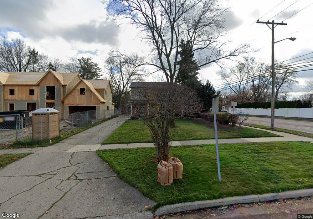
2302 Vinsetta Blvd Royal Oak, MI 48073
Estimated Value: $450,780 - $614,000
4
Beds
2
Baths
1,984
Sq Ft
$260/Sq Ft
Est. Value
About This Home
This home is located at 2302 Vinsetta Blvd, Royal Oak, MI 48073 and is currently estimated at $515,445, approximately $259 per square foot. 2302 Vinsetta Blvd is a home located in Oakland County with nearby schools including Northwood Elementary School, Royal Oak Middle School, and Royal Oak High School.
Ownership History
Date
Name
Owned For
Owner Type
Purchase Details
Closed on
Jul 28, 2004
Sold by
Linstruth William J and Linstruth Jann
Bought by
Nader Anthony and Nader Lisa
Current Estimated Value
Create a Home Valuation Report for This Property
The Home Valuation Report is an in-depth analysis detailing your home's value as well as a comparison with similar homes in the area
Home Values in the Area
Average Home Value in this Area
Purchase History
| Date | Buyer | Sale Price | Title Company |
|---|---|---|---|
| Nader Anthony | $275,000 | Metropolitan Title Company |
Source: Public Records
Tax History Compared to Growth
Tax History
| Year | Tax Paid | Tax Assessment Tax Assessment Total Assessment is a certain percentage of the fair market value that is determined by local assessors to be the total taxable value of land and additions on the property. | Land | Improvement |
|---|---|---|---|---|
| 2024 | $4,085 | $175,620 | $0 | $0 |
| 2022 | $4,827 | $153,730 | $0 | $0 |
| 2020 | $3,970 | $139,580 | $0 | $0 |
| 2018 | $4,827 | $125,120 | $0 | $0 |
| 2017 | $4,639 | $125,120 | $0 | $0 |
| 2015 | -- | $111,690 | $0 | $0 |
| 2014 | -- | $110,180 | $0 | $0 |
| 2011 | -- | $129,070 | $0 | $0 |
Source: Public Records
Map
Nearby Homes
- 817 Magnolia Ave
- 1211 Smith Ave
- 629 W Houstonia Ave
- 2015 Alicia Ln
- 2438 Evergreen Dr
- 903 Hickory Ave
- 508 W Houstonia Ave
- 2115 Marywood Dr
- 719 W 12 Mile Rd
- 1721 Forestdale Ct
- 1123 Royal Ave
- 1507 Roseland Ave
- 2422 Oliver Rd
- 816 Royal Ave
- 2814 Crooks Rd
- 1433 Royal Ave
- 1631 Roseland Ave
- 227 W Houstonia Ave
- 1828 N Lafayette Ave
- 1833 N Washington Ave
- 2308 Vinsetta Blvd Unit Bldg-Unit
- 2308 Vinsetta Blvd
- 2222 Vinsetta Blvd
- 2214 Crooks Rd
- 2318 Vinsetta Blvd
- 2211 Crooks Rd Unit Bldg-Unit
- 2211 Crooks Rd
- 2214 Vinsetta Blvd
- 2328 Vinsetta Blvd
- 2208 Crooks Rd
- 2203 McDonald Ave
- 914 Lloyd Ave
- 2210 Vinsetta Blvd
- 908 Lloyd Ave
- 2225 Vinsetta Blvd
- 2307 Vinsetta Blvd
- 2229 Vinsetta Blvd
- 2204 Vinsetta Blvd
- 2301 Vinsetta Blvd
- 904 Lloyd Ave