2303 Highway 20 Decatur, AL 35601
Estimated Value: $173,000 - $921,036
3
Beds
--
Bath
1,050
Sq Ft
$575/Sq Ft
Est. Value
About This Home
This home is located at 2303 Highway 20, Decatur, AL 35601 and is currently estimated at $604,009, approximately $575 per square foot. 2303 Highway 20 is a home located in Morgan County with nearby schools including West Morgan Elementary School, West Morgan Middle School, and West Morgan High School.
Ownership History
Date
Name
Owned For
Owner Type
Purchase Details
Closed on
Jun 8, 2021
Sold by
Park Life Properties Llc
Bought by
Silversmith Properties Llc
Current Estimated Value
Purchase Details
Closed on
May 31, 2013
Sold by
Dutton Mattie Mae
Bought by
Park Life Properties Llc
Purchase Details
Closed on
Feb 22, 2010
Sold by
Dutton William Allen
Bought by
Dutton William Allen
Create a Home Valuation Report for This Property
The Home Valuation Report is an in-depth analysis detailing your home's value as well as a comparison with similar homes in the area
Home Values in the Area
Average Home Value in this Area
Purchase History
| Date | Buyer | Sale Price | Title Company |
|---|---|---|---|
| Silversmith Properties Llc | $750,000 | None Available | |
| Park Life Properties Llc | $310,000 | None Available | |
| Dutton William Allen | -- | None Available |
Source: Public Records
Property History
| Date | Event | Price | List to Sale | Price per Sq Ft |
|---|---|---|---|---|
| 04/03/2025 04/03/25 | Off Market | $1,225 | -- | -- |
| 02/21/2025 02/21/25 | For Rent | $1,225 | -- | -- |
Tax History Compared to Growth
Tax History
| Year | Tax Paid | Tax Assessment Tax Assessment Total Assessment is a certain percentage of the fair market value that is determined by local assessors to be the total taxable value of land and additions on the property. | Land | Improvement |
|---|---|---|---|---|
| 2024 | $2,586 | $34,570 | $16,360 | $18,210 |
| 2023 | $2,586 | $69,140 | $32,720 | $36,420 |
| 2022 | $2,586 | $69,140 | $32,720 | $36,420 |
| 2021 | $2,005 | $53,620 | $26,860 | $26,760 |
| 2020 | $2,005 | $53,620 | $26,860 | $26,760 |
| 2019 | $2,005 | $53,620 | $0 | $0 |
| 2015 | -- | $54,400 | $0 | $0 |
| 2014 | -- | $54,400 | $0 | $0 |
| 2013 | -- | $54,140 | $0 | $0 |
Source: Public Records
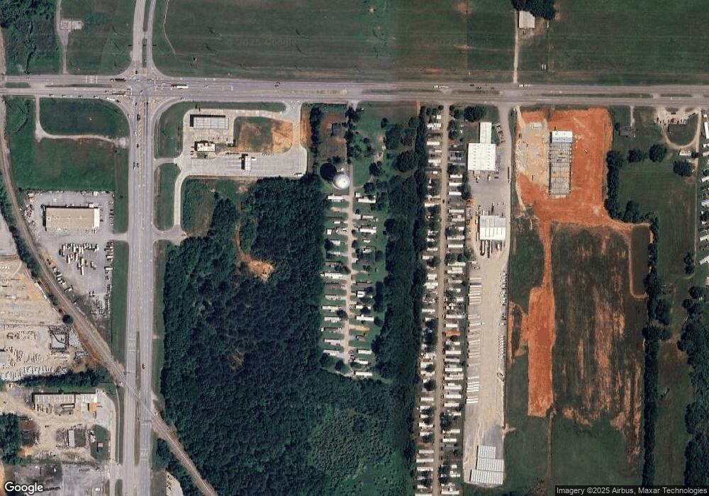
Map
Nearby Homes
- 512 Monroe Dr NW
- 10 Old Trinity Rd
- 517 12th Ave NW
- 509 12th Ave NW
- 2658 Gordon Terry Pkwy
- 1918 Montgomery St SW
- 1016 Moulton St E
- 606 14th Ave SW
- Lot 31 Cashin St NW
- 2623 Berkshire Way SW
- 1003 Bedford Dr SW
- 107 8th Ave NW
- 201 8th Ave SW
- 310 6th Ave NW
- 601 Vine St NW
- 219 5th Ave NW
- 602 2nd St SW
- 233 Sims Rd SW
- 1508 Faye St SW
- 109 5th Ave NW
- 2303 Highway 20 Unit Lot 20
- 2303 Highway 20 Unit Lot 27
- 2231 Highway 20
- 2301 Hwy 20
- 2305 Highway 20
- 2201 Highway 20
- 2201 Highway 20 Unit 22&21 L W Norton Sub
- 2303 State Highway 20
- 2119 Highway 20
- 2033 Highway 20
- 0 Beltline Rd
- 0 Beltline Rd Unit 1047047
- 0 Beltline Rd Unit 1115741
- 0 Hwy 20 Unit 269542
- 0 Hwy 20 Unit 269537
- 0 Highway 20 Unit 307388
- 0 Highway 20 Unit 1808168
- 2001 Highway 20
- 879 Mcentire Ln
- 2522 Highway 20