2303 Rosedale Dr West Point, MS 39773
Estimated Value: $386,976 - $762,000
3
Beds
--
Bath
3,050
Sq Ft
$185/Sq Ft
Est. Value
About This Home
This home is located at 2303 Rosedale Dr, West Point, MS 39773 and is currently estimated at $565,659, approximately $185 per square foot. 2303 Rosedale Dr is a home located in Clay County with nearby schools including East Side Elementary School, West Clay Elementary School, and Church Hill Elementary School.
Ownership History
Date
Name
Owned For
Owner Type
Purchase Details
Closed on
Aug 5, 2019
Sold by
Hodo Peter T and Hodo Cynthia M
Bought by
Sellers Randal H and Sellers Darla G
Current Estimated Value
Create a Home Valuation Report for This Property
The Home Valuation Report is an in-depth analysis detailing your home's value as well as a comparison with similar homes in the area
Purchase History
| Date | Buyer | Sale Price | Title Company |
|---|---|---|---|
| Sellers Randal H | -- | -- |
Source: Public Records
Tax History
| Year | Tax Paid | Tax Assessment Tax Assessment Total Assessment is a certain percentage of the fair market value that is determined by local assessors to be the total taxable value of land and additions on the property. | Land | Improvement |
|---|---|---|---|---|
| 2025 | $3,054 | $37,548 | $7,500 | $30,048 |
| 2024 | $3,054 | $56,322 | $11,250 | $45,072 |
| 2023 | $7,102 | $47,454 | $11,250 | $36,204 |
| 2022 | $2,586 | $47,454 | $11,250 | $36,204 |
| 2021 | $1,570 | $31,636 | $7,500 | $24,136 |
| 2020 | $1,569 | $31,636 | $7,500 | $24,136 |
| 2019 | $2,436 | $47,127 | $11,250 | $35,877 |
| 2018 | $2,334 | $47,127 | $11,250 | $35,877 |
| 2017 | $2,333 | $47,127 | $11,250 | $35,877 |
| 2016 | $2,245 | $47,127 | $11,250 | $35,877 |
| 2015 | $2,149 | $43,602 | $11,250 | $32,352 |
| 2014 | $1,142 | $43,602 | $11,250 | $32,352 |
| 2013 | $1,142 | $43,602 | $11,250 | $32,352 |
Source: Public Records
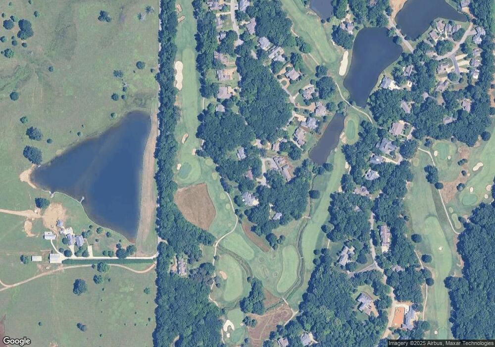
Map
Nearby Homes
- 21 Shadowlawn Cove
- 0 Waverly Dr
- 64 Waverly Dr
- 207 Country Club Dr
- 9 Scotland Yard
- 145 Waverly Dr
- 193 Waverly Dr
- 309 Waverly Dr
- 249 Waverly Dr
- 43 Garden Cove
- 72 Waverly Dr
- 84 Waverly Dr
- 0 Dogwood Dr
- 161 Mapleview Rd
- Lot 2 Waverly Rd
- Lot 6 Waverly Rd
- Lot 5 Waverly Rd
- Lot 3 Waverly Rd
- Lot 10 Waverly Rd
- Lot 8 Waverly Rd
- 240 Rosedale Dr
- 2301 Rosedale Dr
- 298 Rosedale
- 2309 Rosedale Dr
- 267 Rosedale Dr
- 2312 Rosedale Dr
- 2215 Rosedale Dr
- 36 Rosewood Dr
- 2230 Rosewood Dr
- 2222 Rosewood Dr
- 54 Rosewood Dr
- 2209 Rosedale Dr
- 2210 Rosewood Dr
- 2206 Rosewood Dr
- 2202 Rosewood Dr
- 150 Rosedale Dr
- 2216 Rosewood Dr
- 130 Rosedale
- 100 Rosewood Dr
- 2201 Rosedale Dr
Your Personal Tour Guide
Ask me questions while you tour the home.