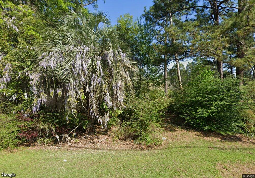
Estimated Value: $97,000 - $192,000
2
Beds
1
Bath
1,089
Sq Ft
$133/Sq Ft
Est. Value
About This Home
This home is located at 2303 Us Highway 84 E, Cairo, GA 39828 and is currently estimated at $144,500, approximately $132 per square foot. 2303 Us Highway 84 E is a home with nearby schools including Cairo High School.
Ownership History
Date
Name
Owned For
Owner Type
Purchase Details
Closed on
Sep 23, 2024
Sold by
Rawls Stacie L
Bought by
Rawls Loretta C
Current Estimated Value
Purchase Details
Closed on
Aug 12, 2024
Sold by
Rawls Loretta C
Bought by
Rawls Stacie L
Purchase Details
Closed on
Dec 27, 2012
Sold by
Rawls Stacie L
Bought by
Rawls Loretta C
Purchase Details
Closed on
Jan 26, 2011
Sold by
Rawls Loretta C
Bought by
Rawls Loretta C
Purchase Details
Closed on
Jan 15, 2009
Sold by
Miller Virginia C
Bought by
Rawls Stacie L and Rawls Loretta C
Purchase Details
Closed on
Sep 14, 2006
Sold by
Cook Woodrow J
Bought by
Miller Virginia C and Rawls Stacie L
Purchase Details
Closed on
Sep 14, 1988
Bought by
Cook Woodrow J
Create a Home Valuation Report for This Property
The Home Valuation Report is an in-depth analysis detailing your home's value as well as a comparison with similar homes in the area
Purchase History
| Date | Buyer | Sale Price | Title Company |
|---|---|---|---|
| Rawls Loretta C | -- | -- | |
| Rawls Stacie L | -- | -- | |
| Rawls Loretta C | -- | -- | |
| Rawls Loretta C | -- | -- | |
| Rawls Stacie L | -- | -- | |
| Miller Virginia C | -- | -- | |
| Cook Woodrow J | $27,000 | -- |
Source: Public Records
Tax History
| Year | Tax Paid | Tax Assessment Tax Assessment Total Assessment is a certain percentage of the fair market value that is determined by local assessors to be the total taxable value of land and additions on the property. | Land | Improvement |
|---|---|---|---|---|
| 2024 | $377 | $13,582 | $4,100 | $9,482 |
| 2023 | $328 | $8,852 | $2,924 | $5,928 |
| 2022 | $113 | $2,924 | $2,924 | $0 |
| 2021 | $113 | $2,924 | $2,924 | $0 |
| 2020 | $113 | $2,924 | $2,924 | $0 |
| 2019 | $113 | $2,924 | $2,924 | $0 |
| 2018 | $108 | $2,924 | $2,924 | $0 |
| 2017 | $103 | $2,924 | $2,924 | $0 |
| 2016 | $106 | $2,924 | $2,924 | $0 |
| 2015 | $105 | $2,924 | $2,924 | $0 |
| 2014 | $105 | $2,924 | $2,924 | $0 |
| 2013 | -- | $2,924 | $2,924 | $0 |
Source: Public Records
Map
Nearby Homes
- 66 22nd St NE
- 78.6 Ac Strickland Rd
- 21 24th St NE
- 0 20th St NE
- 00 20th St NE
- 408 Bay Tree Rd NE
- 592 20th St SE
- 711 2nd Ave NE
- 3109 U S 84
- 3109 U S 84
- 00 State Route 188
- 0 State Route 188
- 00 Blackberry Ln
- 00 Meridian Rd
- Lot #15, 3 64 Acres Oakbend Cir
- 530 6th Ave SE
- 471 4th St SE
- 481 4th St SE
- 530 6th St
- 4761 Hadley Ferry Rd
- 2301 Us Highway 84 E
- 2305 Us Highway 84 E
- 2445 Us Highway 84 E
- 2300 E 84 Hwy
- 2300 Us Highway 84 E
- 2306 Us Highway 84 E
- 76 23rd St NE
- 2444 Us Highway 84 E
- 2210 Us Highway 84 E
- 2210 E 84 Hwy
- 2210 U S 84
- 301 Pavillion Rd
- 2207 Us Highway 84 E
- 74 23rd St NE
- 401 Pavillion Rd
- 304 Pavillion Rd
- 2200 Us Highway 84 E
- 2189 Us Highway 84 E
- 70 23rd St NE
- 2189 U S 84
