2304 Pete Smith Rd Louisburg, NC 27549
Estimated Value: $369,000 - $774,000
3
Beds
3
Baths
2,999
Sq Ft
$183/Sq Ft
Est. Value
About This Home
This home is located at 2304 Pete Smith Rd, Louisburg, NC 27549 and is currently estimated at $550,158, approximately $183 per square foot. 2304 Pete Smith Rd is a home located in Franklin County with nearby schools including Laurel Mill Elementary School, Terrell Lane Middle School, and Louisburg High School.
Ownership History
Date
Name
Owned For
Owner Type
Purchase Details
Closed on
Jul 21, 2011
Sold by
Trice Kenneth F and Trice Catherine
Bought by
Nyx Timothy J and Nyx Brenda K
Current Estimated Value
Home Financials for this Owner
Home Financials are based on the most recent Mortgage that was taken out on this home.
Original Mortgage
$321,750
Outstanding Balance
$221,459
Interest Rate
4.52%
Mortgage Type
New Conventional
Estimated Equity
$328,699
Create a Home Valuation Report for This Property
The Home Valuation Report is an in-depth analysis detailing your home's value as well as a comparison with similar homes in the area
Home Values in the Area
Average Home Value in this Area
Purchase History
| Date | Buyer | Sale Price | Title Company |
|---|---|---|---|
| Nyx Timothy J | $358,000 | None Available |
Source: Public Records
Mortgage History
| Date | Status | Borrower | Loan Amount |
|---|---|---|---|
| Open | Nyx Timothy J | $321,750 |
Source: Public Records
Tax History Compared to Growth
Tax History
| Year | Tax Paid | Tax Assessment Tax Assessment Total Assessment is a certain percentage of the fair market value that is determined by local assessors to be the total taxable value of land and additions on the property. | Land | Improvement |
|---|---|---|---|---|
| 2024 | $2,811 | $473,930 | $89,450 | $384,480 |
| 2023 | $2,639 | $294,080 | $27,220 | $266,860 |
| 2022 | $2,629 | $294,080 | $27,220 | $266,860 |
| 2021 | $2,659 | $294,080 | $27,220 | $266,860 |
| 2020 | $2,675 | $294,080 | $27,220 | $266,860 |
| 2019 | $2,665 | $294,080 | $27,220 | $266,860 |
| 2018 | $2,660 | $294,080 | $27,220 | $266,860 |
| 2017 | $3,015 | $302,560 | $24,160 | $278,400 |
| 2016 | $3,121 | $302,560 | $24,160 | $278,400 |
| 2015 | $3,121 | $302,560 | $24,160 | $278,400 |
| 2014 | $2,937 | $302,560 | $24,160 | $278,400 |
Source: Public Records
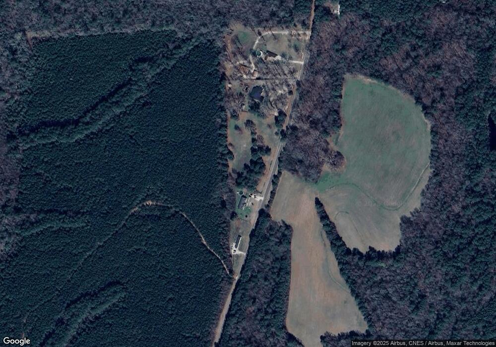
Map
Nearby Homes
- 0 Alert Rd
- 979 Alert Rd
- 994 Alert Rd
- 00 Alert
- 0 Peg Williams Rd
- 0 Roy Tharrington Rd
- 9 Ed Alston Rd
- 8 Ed Alston Rd
- 7 Ed Alston Rd
- 6 Ed Alston Rd
- 5 Ed Alston Rd
- 4 Ed Alston Rd
- 0 Sutton Rd
- 816 Lickskillet Rd
- 1163 Schloss Rd
- 1.04 Summit Rd
- 132 Fry Pan Ln
- 1164 Shocco Springs Rd
- 76 Sutton Rd
- 00 Opie Frazier Rd
- 2304 Pete Smith Rd
- 2304 Pete Smith Rd
- 2344 Pete Smith Rd
- 2330 Pete Smith Rd
- 2343 Pete Smith Rd
- 2403 Pete Smith Rd
- 875 Alert Rd
- 937 Alert Rd
- 880 Alert Rd
- 939 Alert Rd
- 834 Alert Rd
- 798 Alert Rd
- 963 Alert Rd
- 975 Alert Rd
- 00 Alert Rd
- 776 Alert Rd
- 1003 Alert Rd
- 265 Hayes Dr
- 53 Vance Bobbitt Dr
- 544 Alert Rd