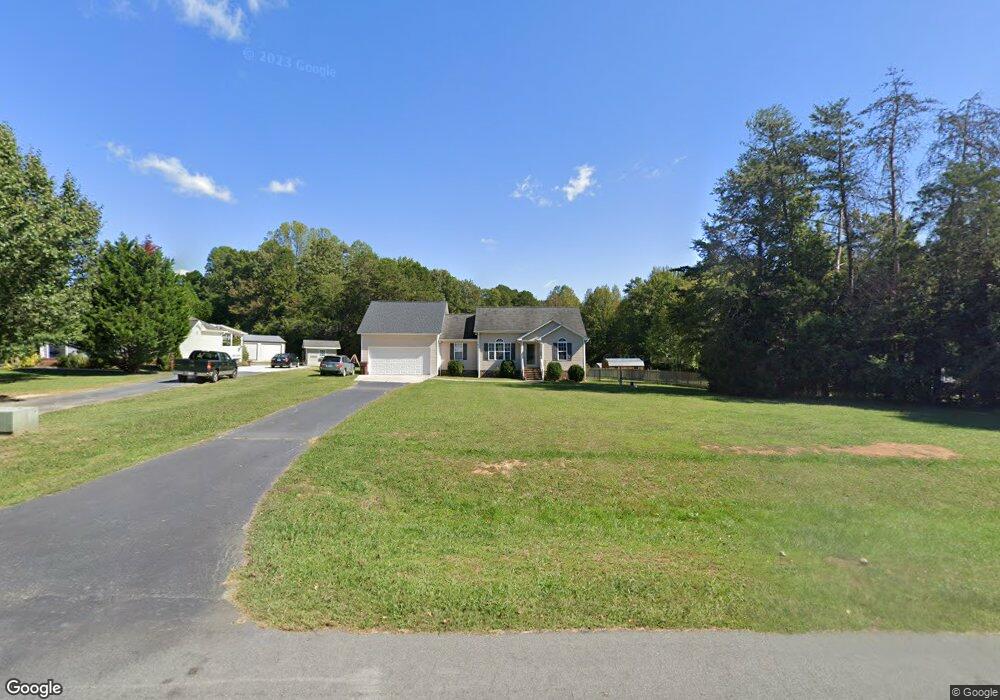
2305 Foxfire Ln Burlington, NC 27217
Estimated Value: $295,859 - $323,000
3
Beds
2
Baths
1,284
Sq Ft
$239/Sq Ft
Est. Value
About This Home
This home is located at 2305 Foxfire Ln, Burlington, NC 27217 and is currently estimated at $307,465, approximately $239 per square foot. 2305 Foxfire Ln is a home located in Alamance County with nearby schools including Pleasant Grove Elementary School, Woodlawn Middle School, and Eastern Alamance High School.
Ownership History
Date
Name
Owned For
Owner Type
Purchase Details
Closed on
Nov 22, 2005
Sold by
Darrin Kenyon Builder L L
Bought by
Gwynn Crystal
Current Estimated Value
Home Financials for this Owner
Home Financials are based on the most recent Mortgage that was taken out on this home.
Original Mortgage
$105,600
Outstanding Balance
$57,860
Interest Rate
6.04%
Mortgage Type
New Conventional
Estimated Equity
$249,605
Create a Home Valuation Report for This Property
The Home Valuation Report is an in-depth analysis detailing your home's value as well as a comparison with similar homes in the area
Purchase History
| Date | Buyer | Sale Price | Title Company |
|---|---|---|---|
| Gwynn Crystal | $132,000 | -- |
Source: Public Records
Mortgage History
| Date | Status | Borrower | Loan Amount |
|---|---|---|---|
| Open | Gwynn Crystal | $105,600 |
Source: Public Records
Tax History
| Year | Tax Paid | Tax Assessment Tax Assessment Total Assessment is a certain percentage of the fair market value that is determined by local assessors to be the total taxable value of land and additions on the property. | Land | Improvement |
|---|---|---|---|---|
| 2025 | $1,716 | $288,872 | $34,983 | $253,889 |
| 2024 | $1,595 | $288,872 | $34,983 | $253,889 |
| 2023 | $1,480 | $288,872 | $34,983 | $253,889 |
| 2022 | $1,158 | $151,081 | $33,307 | $117,774 |
| 2021 | $1,142 | $151,081 | $33,307 | $117,774 |
| 2020 | $1,158 | $151,081 | $33,307 | $117,774 |
| 2019 | $1,071 | $139,039 | $33,307 | $105,732 |
| 2018 | $0 | $139,039 | $33,307 | $105,732 |
| 2017 | $945 | $139,039 | $33,307 | $105,732 |
| 2016 | $1,001 | $147,273 | $33,307 | $113,966 |
| 2015 | $967 | $147,273 | $33,307 | $113,966 |
| 2014 | $894 | $147,273 | $33,307 | $113,966 |
Source: Public Records
Map
Nearby Homes
- 2208 Foxfire Ln
- 3133 State Highway 49
- 2513 William Allen Rd
- 3521 N Carolina 49
- 3521 N Nc Highway 49
- 3082 Cascade Dr
- 0 Pack Ln
- 2858 John Lewis Rd
- 0 Barnett Rd Unit 10148309
- 2200 State Highway 49
- 134 Pillow Ln
- 211 Sumter Ct
- 284 Donelson Way
- 0 Haith Fuller Trail
- 1420 Mccray Rd
- 7411 N Carolina 62
- 1800 State Highway 49
- 00 Haith Fuller Trail
- 3610 Barnett Rd
- 3655 N Carolina 62
- 2311 Foxfire Ln
- 2235 Foxfire Ln
- 2225 Foxfire Ln
- 2308 Foxfire Ln
- 2238 Foxfire Ln
- 2316 Foxfire Ln
- 2404 Foxfire Ln
- 2217 Foxfire Ln
- 2228 Foxfire Ln
- 2326 Foxfire Ln
- 2417 Foxfire Ln
- 2385 Foxfire Ln
- 2395 Foxfire Ln
- 2200 Foxfire Ln
- 2202 Foxfire Ln
- 2338 Foxfire Ln
- 3116 Sundance Dr
- 2407 Foxfire Ln
- 2378 Foxfire Ln
- 3132 Sundance Dr
Your Personal Tour Guide
Ask me questions while you tour the home.