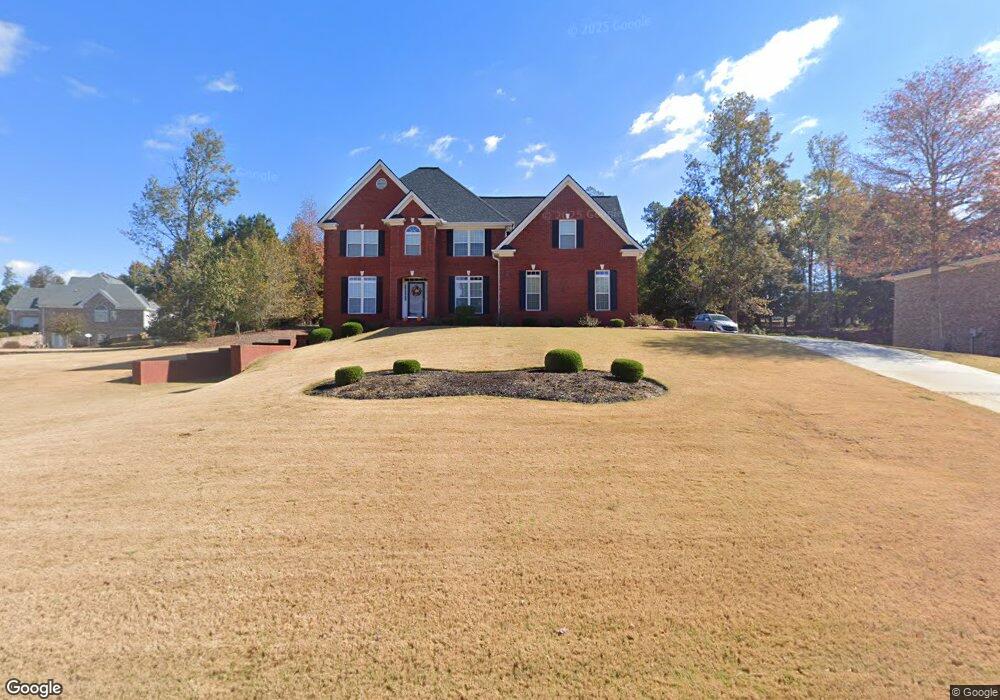
2305 Mallory Cir Unit 2 Conyers, GA 30094
Estimated Value: $412,000 - $569,000
4
Beds
3
Baths
2,830
Sq Ft
$171/Sq Ft
Est. Value
About This Home
This home is located at 2305 Mallory Cir Unit 2, Conyers, GA 30094 and is currently estimated at $484,959, approximately $171 per square foot. 2305 Mallory Cir Unit 2 is a home located in Rockdale County with nearby schools including Lorraine Elementary School, Gen. Ray Davis Middle School, and Salem High School.
Ownership History
Date
Name
Owned For
Owner Type
Purchase Details
Closed on
May 10, 2004
Sold by
Mathis Bldrs Inc
Bought by
Moore Floyd A and Moore Belinda
Current Estimated Value
Home Financials for this Owner
Home Financials are based on the most recent Mortgage that was taken out on this home.
Original Mortgage
$196,000
Outstanding Balance
$93,638
Interest Rate
5.77%
Mortgage Type
New Conventional
Estimated Equity
$391,321
Create a Home Valuation Report for This Property
The Home Valuation Report is an in-depth analysis detailing your home's value as well as a comparison with similar homes in the area
Home Values in the Area
Average Home Value in this Area
Purchase History
| Date | Buyer | Sale Price | Title Company |
|---|---|---|---|
| Moore Floyd A | $295,500 | -- |
Source: Public Records
Mortgage History
| Date | Status | Borrower | Loan Amount |
|---|---|---|---|
| Open | Moore Floyd A | $196,000 |
Source: Public Records
Tax History Compared to Growth
Tax History
| Year | Tax Paid | Tax Assessment Tax Assessment Total Assessment is a certain percentage of the fair market value that is determined by local assessors to be the total taxable value of land and additions on the property. | Land | Improvement |
|---|---|---|---|---|
| 2024 | $4,117 | $190,640 | $39,800 | $150,840 |
| 2023 | $3,648 | $179,920 | $39,800 | $140,120 |
| 2022 | $3,235 | $151,560 | $35,280 | $116,280 |
| 2021 | $3,057 | $136,720 | $26,920 | $109,800 |
| 2020 | $2,659 | $118,840 | $25,800 | $93,040 |
| 2019 | $2,532 | $112,240 | $19,200 | $93,040 |
| 2018 | $2,326 | $105,080 | $14,840 | $90,240 |
| 2017 | $1,835 | $88,520 | $15,800 | $72,720 |
| 2016 | $1,657 | $88,520 | $15,800 | $72,720 |
| 2015 | $1,587 | $86,080 | $13,360 | $72,720 |
| 2014 | $1,359 | $86,080 | $13,360 | $72,720 |
| 2013 | -- | $114,240 | $30,000 | $84,240 |
Source: Public Records
Map
Nearby Homes
- 2301 Mallory Cir Unit 2
- 2206 Crescent Walk
- 2104 Crest Wood Dr
- 2150 Oglesby Bridge Rd SW
- 1433 Cotton Trail SW
- 1821 Holmes Dr SW
- 1840 Holmsey Cir
- 1765 Elizabeth Ct SW
- 1709 Elizabeth Ct SW
- 6018 Vicksburg Ct
- 1740 Elizabeth Ct SW
- 1769 Elizabeth Ct SW
- 5162 Kurt Ln SW
- 1721 Windsong Dr SW
- 5262 E Shore Dr SW
- 0 Bellevue Dr Unit 10483100
- 1590 Colonial South Dr SW
- 5142 Fawn Ln SW
- 1938 Highway 212 SW
- 5170 Paul Cir SW
- 2309 Mallory Cir
- 2032 Whippoorwill Way Unit 2
- 2140 Crest Wood Dr
- 2308 Mallory Cir
- 2136 Crest Wood Dr
- 2304 Mallory Cir
- 0 Crest Wood Dr Unit 8310616
- 0 Crest Wood Dr Unit 8907559
- 0 Crest Wood Dr Unit 3101061
- 0 Crest Wood Dr Unit 7046469
- 0 Crest Wood Dr Unit 7511024
- 0 Crest Wood Dr Unit 8352412
- 0 Crest Wood Dr
- 2144 Crest Wood Dr
- 2132 Crest Wood Dr
- 2313 Mallory Cir Unit 92
- 2313 Mallory Cir Unit 2
- 2148 Crest Wood Dr
- 2300 Mallory Cir
- 2312 Mallory Cir