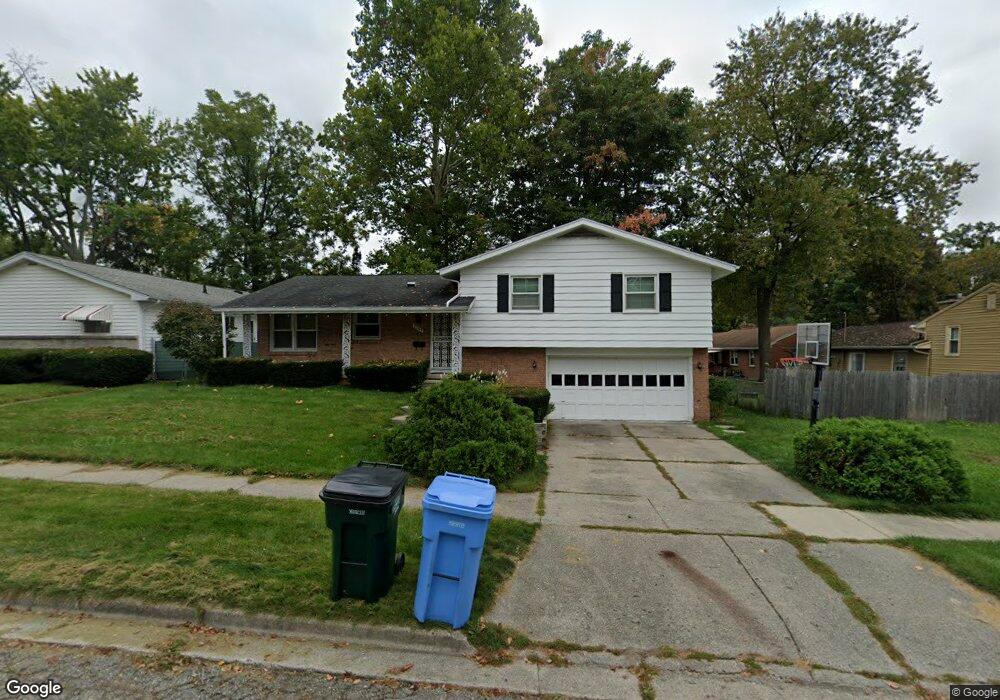
2307 Carol Way Lansing, MI 48911
Lewton Rich NeighborhoodEstimated Value: $179,502 - $231,000
--
Bed
1
Bath
1,287
Sq Ft
$158/Sq Ft
Est. Value
About This Home
This home is located at 2307 Carol Way, Lansing, MI 48911 and is currently estimated at $203,126, approximately $157 per square foot. 2307 Carol Way is a home located in Ingham County with nearby schools including Averill Elementary School, Attwood School, and J.W. Sexton High School.
Ownership History
Date
Name
Owned For
Owner Type
Purchase Details
Closed on
Jun 15, 1999
Sold by
Bohn Joseph Richard and Bohn Donna Jo
Bought by
Ellis Rob T and Ellis Priscilla D
Current Estimated Value
Home Financials for this Owner
Home Financials are based on the most recent Mortgage that was taken out on this home.
Original Mortgage
$115,440
Outstanding Balance
$30,696
Interest Rate
7.15%
Mortgage Type
FHA
Estimated Equity
$172,430
Purchase Details
Closed on
Jun 24, 1996
Sold by
Hare Joyce E
Bought by
Bohn Joseph Richard
Purchase Details
Closed on
Jun 1, 1994
Create a Home Valuation Report for This Property
The Home Valuation Report is an in-depth analysis detailing your home's value as well as a comparison with similar homes in the area
Home Values in the Area
Average Home Value in this Area
Purchase History
| Date | Buyer | Sale Price | Title Company |
|---|---|---|---|
| Ellis Rob T | $116,000 | Midstate Title Company | |
| Bohn Joseph Richard | $90,000 | -- | |
| -- | $85,900 | -- |
Source: Public Records
Mortgage History
| Date | Status | Borrower | Loan Amount |
|---|---|---|---|
| Open | Ellis Rob T | $115,440 |
Source: Public Records
Tax History Compared to Growth
Tax History
| Year | Tax Paid | Tax Assessment Tax Assessment Total Assessment is a certain percentage of the fair market value that is determined by local assessors to be the total taxable value of land and additions on the property. | Land | Improvement |
|---|---|---|---|---|
| 2025 | $3,028 | $91,700 | $12,200 | $79,500 |
| 2024 | $24 | $82,300 | $12,200 | $70,100 |
| 2023 | $2,839 | $72,400 | $12,200 | $60,200 |
| 2022 | $2,560 | $63,500 | $10,600 | $52,900 |
| 2021 | $2,506 | $58,300 | $9,400 | $48,900 |
| 2020 | $2,491 | $55,000 | $9,400 | $45,600 |
| 2019 | $2,388 | $49,700 | $9,400 | $40,300 |
| 2018 | $2,238 | $45,600 | $9,400 | $36,200 |
| 2017 | $2,142 | $45,600 | $9,400 | $36,200 |
| 2016 | $2,049 | $40,000 | $9,400 | $30,600 |
| 2015 | $2,049 | $37,500 | $18,844 | $18,656 |
| 2014 | $2,049 | $36,300 | $18,844 | $17,456 |
Source: Public Records
Map
Nearby Homes
- 2201 Pamela Place
- 2200 Rossiter Place
- 2418 Rossiter Place
- 2505 Hanover Dr
- 2710 Bedford Rd
- 2409 Victor Ave
- 3310 W Mount Hope Ave
- 3416 Cooley Dr
- 2905 S Catherine St
- 3214 Gingersnap Ln
- 3425 Cooley Dr
- 3421 Troon Cir Unit 29
- 3508 Muirfield Dr
- 3333 Moores River Dr Unit 812
- 3601 Muirfield Dr
- 2812 Pleasant Grove Rd
- 1533 Cambridge Rd
- 3510 Christine Dr
- 2920 Pleasant Grove Rd Unit 1
- 2838 Sunderland Rd