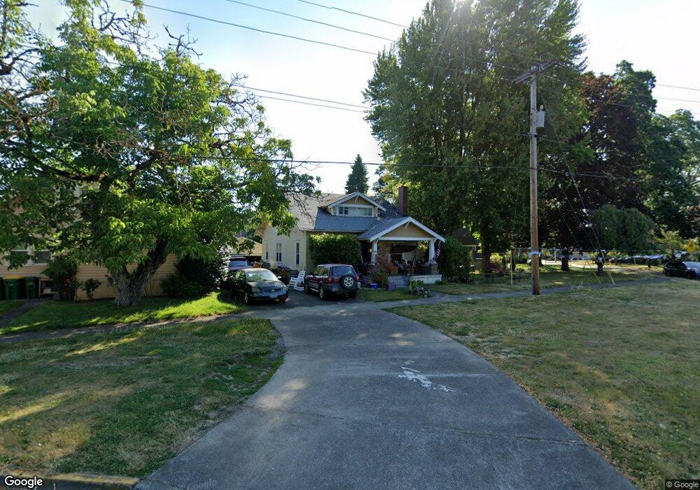
2307 Gales Way Forest Grove, OR 97116
Estimated Value: $473,000 - $577,000
2
Beds
1
Bath
900
Sq Ft
$564/Sq Ft
Est. Value
About This Home
This home is located at 2307 Gales Way, Forest Grove, OR 97116 and is currently estimated at $507,755, approximately $564 per square foot. 2307 Gales Way is a home located in Washington County with nearby schools including Harvey Clarke Elementary School, Tom McCall Upper Elementary School, and Neil Armstrong Middle School.
Ownership History
Date
Name
Owned For
Owner Type
Purchase Details
Closed on
Jun 11, 2025
Sold by
Turnbull Family Trust and Turnbull Marilyn M
Bought by
Turnbull Property 2307 Llc
Current Estimated Value
Purchase Details
Closed on
Jan 14, 2025
Sold by
Turnbull Survivors Fund Trust and Turnbull Marilyn M
Bought by
Turnbull Property 2307 Llc
Purchase Details
Closed on
Aug 1, 2024
Sold by
Turnbull Family Trust and Turnbull Marilyn M
Bought by
Turnbull Oregon Marital Trust and Turnbull Survivors Fund Trust
Purchase Details
Closed on
Jan 24, 2007
Sold by
Turnbull G David and Turnbull Marilyn M
Bought by
Turnbull G David and Turnbull Marilyn M
Purchase Details
Closed on
Jan 18, 2007
Sold by
Turnbull G David and Turnbull Marilyn M
Bought by
Turnbull G David and Turnbull Marilyn M
Create a Home Valuation Report for This Property
The Home Valuation Report is an in-depth analysis detailing your home's value as well as a comparison with similar homes in the area
Home Values in the Area
Average Home Value in this Area
Purchase History
| Date | Buyer | Sale Price | Title Company |
|---|---|---|---|
| Turnbull Property 2307 Llc | -- | None Listed On Document | |
| Turnbull Property 2307 Llc | -- | None Listed On Document | |
| Turnbull Exemption Trust | -- | None Listed On Document | |
| Turnbull Oregon Marital Trust | -- | None Listed On Document | |
| Turnbull G David | -- | Lawyers Title Ins | |
| Turnbull G David | -- | Lawyers Title Ins |
Source: Public Records
Tax History Compared to Growth
Tax History
| Year | Tax Paid | Tax Assessment Tax Assessment Total Assessment is a certain percentage of the fair market value that is determined by local assessors to be the total taxable value of land and additions on the property. | Land | Improvement |
|---|---|---|---|---|
| 2026 | $3,866 | $217,080 | -- | -- |
| 2025 | $3,866 | $210,760 | -- | -- |
| 2024 | $3,729 | $204,630 | -- | -- |
| 2023 | $3,729 | $198,670 | $0 | $0 |
| 2022 | $3,261 | $198,670 | $0 | $0 |
| 2021 | $3,219 | $187,280 | $0 | $0 |
| 2020 | $3,202 | $181,830 | $0 | $0 |
| 2019 | $3,130 | $176,540 | $0 | $0 |
| 2018 | $3,049 | $172,250 | $0 | $0 |
| 2017 | $5,129 | $290,260 | $0 | $0 |
| 2016 | $4,984 | $281,810 | $0 | $0 |
| 2015 | $4,793 | $273,610 | $0 | $0 |
| 2014 | $4,770 | $265,650 | $0 | $0 |
Source: Public Records
Map
Nearby Homes
- 2303 Turnbull Ct
- 2311 Gales Way
- 1723 23rd Ave
- 2309 Turnbull Ct
- 0 Turnbull Ct Unit Lot 3 19561282
- 0 Turnbull Ct Unit Lot 1 19540289
- 0 Turnbull Ct Unit Lot 8 19473681
- 0 Turnbull Ct Unit Lot 2 19388417
- 0 Turnbull Ct Unit Lot 4 19235034
- 0 Turnbull Ct Unit Lot 6 19078243
- 0 Turnbull Ct Unit Lot 7 19007240
- 1712 23rd Ave
- 2323 Gales Way
- 2315 Turnbull Ct
- 1712 23rd (- 1714) Ave
- 0 B St Unit 18646266
- 0 B St Unit 20411778
- 0 B St Unit 9092260
- 0 B St Unit 9092266
- 0 B St Unit 2 10082800