23083 Highway 190 E Robert, LA 70455
Estimated Value: $1,313,350
4
Beds
3
Baths
4,082
Sq Ft
$322/Sq Ft
Est. Value
About This Home
This home is located at 23083 Highway 190 E, Robert, LA 70455 and is currently estimated at $1,313,350, approximately $321 per square foot. 23083 Highway 190 E is a home located in Tangipahoa Parish with nearby schools including Hammond Eastside Magnet and Hammond High Magnet School.
Ownership History
Date
Name
Owned For
Owner Type
Purchase Details
Closed on
Dec 18, 2007
Sold by
Svs Tangi I Llc
Bought by
Seatrepid Louisianne Llc
Current Estimated Value
Home Financials for this Owner
Home Financials are based on the most recent Mortgage that was taken out on this home.
Original Mortgage
$520,000
Outstanding Balance
$320,405
Interest Rate
6.23%
Mortgage Type
Commercial
Estimated Equity
$992,945
Purchase Details
Closed on
Apr 20, 2007
Sold by
Cash Edna Lugo
Bought by
Svs Tangi I Llc
Create a Home Valuation Report for This Property
The Home Valuation Report is an in-depth analysis detailing your home's value as well as a comparison with similar homes in the area
Purchase History
| Date | Buyer | Sale Price | Title Company |
|---|---|---|---|
| Seatrepid Louisianne Llc | $650,000 | None Available | |
| Svs Tangi I Llc | $560,000 | None Available |
Source: Public Records
Mortgage History
| Date | Status | Borrower | Loan Amount |
|---|---|---|---|
| Open | Seatrepid Louisianne Llc | $520,000 |
Source: Public Records
Tax History
| Year | Tax Paid | Tax Assessment Tax Assessment Total Assessment is a certain percentage of the fair market value that is determined by local assessors to be the total taxable value of land and additions on the property. | Land | Improvement |
|---|---|---|---|---|
| 2025 | $8,008 | $82,791 | $10,109 | $72,682 |
| 2024 | $5,907 | $61,335 | $10,109 | $51,226 |
| 2023 | $5,907 | $60,825 | $9,360 | $51,465 |
| 2022 | $5,907 | $60,825 | $9,360 | $51,465 |
| 2021 | $5,910 | $60,825 | $9,360 | $51,465 |
| 2020 | $5,905 | $60,825 | $9,360 | $51,465 |
| 2019 | $6,374 | $60,825 | $9,360 | $51,465 |
| 2018 | $6,089 | $60,825 | $9,360 | $51,465 |
| 2017 | $6,028 | $60,825 | $9,360 | $51,465 |
| 2016 | $6,332 | $60,825 | $9,360 | $51,465 |
| 2015 | $6,364 | $61,102 | $9,360 | $51,742 |
| 2014 | $5,998 | $61,102 | $9,360 | $51,742 |
Source: Public Records
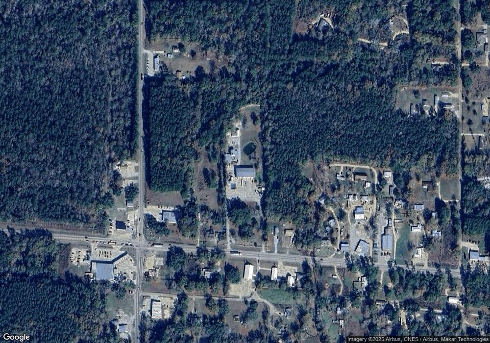
Map
Nearby Homes
- 2.79 AC Louisiana 445
- C-3 Louisiana 445
- 5.4 AC Louisiana 445
- C-2 Louisiana 445
- 23013 Hwy 445 Hwy190 None
- 23013 Hwy 445 Hwy190
- 44323 Louisiana 445
- 48088 Louisiana 445
- C-1 Louisiana 445
- PAR 1-B Highway 190
- PAR 1-D Highway 190
- PAR 1-C Highway 190
- PAR 1-A Highway 190
- 45267 Coleman Rd
- 22514 Gemstone Place
- 0 Holmes Ln
- 23083 U S 190
- 23041 Highway 190 E
- 23045 Highway 190 E
- 23089 Highway 190 E
- 23099 Highway 190 E
- 23125 Highway 190 E
- 0 Merchant Cir Unit 2007423
- 0 Merchant Cir Unit 977665
- 0 Merchant Cir Unit 1000727
- 0 Merchant Cir Unit 2238476
- 24315 Michael St
- 44415 Traylor's Trail Other
- 44522 E Traylor's Trail Rd
- 23270 Charles Blvd
- 24414 Michael Dr
- 21273 Chappella Rd
- 25015 Memory Ln
- 0 Us Hwy 190 &445 Hwy
- 0 Hwy 190 Doc Hyde Rd Unit 766442
- 0 Hwy 190 Lot 3 Hwy
Your Personal Tour Guide
Ask me questions while you tour the home.