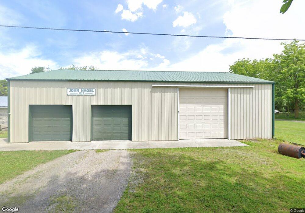
23083 Main St Custar, OH 43511
Estimated Value: $95,000 - $144,000
3
Beds
1
Bath
1,386
Sq Ft
$88/Sq Ft
Est. Value
About This Home
This home is located at 23083 Main St, Custar, OH 43511 and is currently estimated at $122,190, approximately $88 per square foot. 23083 Main St is a home located in Wood County with nearby schools including Bowling Green High School.
Ownership History
Date
Name
Owned For
Owner Type
Purchase Details
Closed on
Mar 30, 2012
Sold by
Gast Cynthia L
Bought by
Smith Matthew A
Current Estimated Value
Purchase Details
Closed on
Aug 24, 2005
Sold by
Konrad Philip J and Konrad Sandy
Bought by
Gast Cynthia L
Home Financials for this Owner
Home Financials are based on the most recent Mortgage that was taken out on this home.
Original Mortgage
$68,432
Interest Rate
5.89%
Mortgage Type
Purchase Money Mortgage
Purchase Details
Closed on
May 14, 2004
Sold by
Estate Of Martha K Konrad
Bought by
Konrad Philip J and Tayfel Nancy
Purchase Details
Closed on
Jan 25, 1988
Bought by
Konrad Martha K
Create a Home Valuation Report for This Property
The Home Valuation Report is an in-depth analysis detailing your home's value as well as a comparison with similar homes in the area
Home Values in the Area
Average Home Value in this Area
Purchase History
| Date | Buyer | Sale Price | Title Company |
|---|---|---|---|
| Smith Matthew A | $11,000 | Attorney | |
| Gast Cynthia L | $51,000 | American Title Agency | |
| Konrad Philip J | -- | -- | |
| Konrad Martha K | -- | -- |
Source: Public Records
Mortgage History
| Date | Status | Borrower | Loan Amount |
|---|---|---|---|
| Previous Owner | Gast Cynthia L | $68,432 |
Source: Public Records
Tax History Compared to Growth
Tax History
| Year | Tax Paid | Tax Assessment Tax Assessment Total Assessment is a certain percentage of the fair market value that is determined by local assessors to be the total taxable value of land and additions on the property. | Land | Improvement |
|---|---|---|---|---|
| 2024 | $1,082 | $23,870 | $2,695 | $21,175 |
| 2023 | $1,082 | $23,880 | $2,700 | $21,180 |
| 2021 | $850 | $17,500 | $1,820 | $15,680 |
| 2020 | $3,466 | $17,500 | $1,820 | $15,680 |
| 2019 | $2,193 | $16,770 | $1,820 | $14,950 |
| 2018 | $1,267 | $16,770 | $1,820 | $14,950 |
| 2017 | $1,880 | $16,770 | $1,820 | $14,950 |
| 2016 | $3,669 | $17,470 | $1,820 | $15,650 |
| 2015 | $3,669 | $17,470 | $1,820 | $15,650 |
| 2014 | $5,770 | $17,470 | $1,820 | $15,650 |
| 2013 | $3,753 | $17,470 | $1,820 | $15,650 |
Source: Public Records
Map
Nearby Homes
- 9097 Custar Rd
- 22856 Main St
- 22767 Defiance Pike
- 20236 Jerry City Rd
- 20525 Locust St
- 125 N Harvest Dr
- 123 N Harvest St
- 121 N Harvest St
- 119 N Harvest St
- 117 N Harvest St
- 110 N Harvest Dr
- 112 N Harvest Dr
- 114 N Harvest Dr
- 116 N Harvest St
- 118 N Harvest Dr
- 120 N Harvest Dr
- 122 N Harvest St
- 124 N Harvest St
- 113 N Meadow Ln
- 115 Meadow Ln
- 23097 Defiance Pike
- 23083 Defiance Pike
- 8930 High St
- 23075 Main St
- 23075 Defiance Pike
- 0 France Ave
- 8951 France Ave
- 23125 Main St
- 23036 Defiance Pike
- 8943 France Ave
- 23036 Main St
- 23133 Defiance Pike
- 8931 France Ave
- 23070 Main St W
- 8915 France St
- 8915 France Ave
- 23094 Defiance Pike
- 23082 Defiance Pike
- 23037 Defiance Pike
- 0 France Unit 5019978