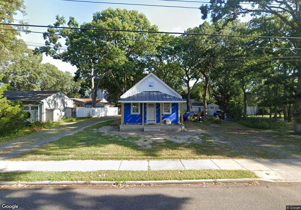
2309 Dorset Dock Rd Unit B Point Pleasant Boro, NJ 08742
Estimated Value: $570,351 - $668,000
2
Beds
1
Bath
700
Sq Ft
$884/Sq Ft
Est. Value
About This Home
This home is located at 2309 Dorset Dock Rd Unit B, Point Pleasant Boro, NJ 08742 and is currently estimated at $618,588, approximately $883 per square foot. 2309 Dorset Dock Rd Unit B is a home located in Ocean County with nearby schools including Point Pleasant High School, St Dominic School, and St. Peter School.
Ownership History
Date
Name
Owned For
Owner Type
Purchase Details
Closed on
Apr 1, 2024
Sold by
Rollano James
Bought by
Cole David and Bertuliene Odeta
Current Estimated Value
Home Financials for this Owner
Home Financials are based on the most recent Mortgage that was taken out on this home.
Original Mortgage
$2,684
Outstanding Balance
$2,644
Interest Rate
6.88%
Mortgage Type
Seller Take Back
Estimated Equity
$615,944
Purchase Details
Closed on
Nov 1, 1982
Bought by
Rollano James
Create a Home Valuation Report for This Property
The Home Valuation Report is an in-depth analysis detailing your home's value as well as a comparison with similar homes in the area
Home Values in the Area
Average Home Value in this Area
Purchase History
| Date | Buyer | Sale Price | Title Company |
|---|---|---|---|
| Cole David | $500,000 | Anchor Title | |
| Cole David | $500,000 | Anchor Title | |
| Rollano James | $49,000 | -- |
Source: Public Records
Mortgage History
| Date | Status | Borrower | Loan Amount |
|---|---|---|---|
| Open | Cole David | $2,684 | |
| Closed | Cole David | $2,684 |
Source: Public Records
Tax History Compared to Growth
Tax History
| Year | Tax Paid | Tax Assessment Tax Assessment Total Assessment is a certain percentage of the fair market value that is determined by local assessors to be the total taxable value of land and additions on the property. | Land | Improvement |
|---|---|---|---|---|
| 2025 | $6,031 | $263,700 | $181,800 | $81,900 |
| 2024 | $5,764 | $263,700 | $181,800 | $81,900 |
| 2023 | $5,646 | $263,700 | $181,800 | $81,900 |
| 2022 | $5,646 | $263,700 | $181,800 | $81,900 |
| 2021 | $5,559 | $263,700 | $181,800 | $81,900 |
| 2020 | $5,501 | $263,700 | $181,800 | $81,900 |
| 2019 | $5,427 | $263,700 | $181,800 | $81,900 |
| 2018 | $5,266 | $263,700 | $181,800 | $81,900 |
| 2017 | $5,150 | $263,700 | $181,800 | $81,900 |
| 2016 | $5,111 | $263,700 | $181,800 | $81,900 |
| 2015 | $5,050 | $263,700 | $181,800 | $81,900 |
| 2014 | $4,934 | $263,700 | $181,800 | $81,900 |
Source: Public Records
Map
Nearby Homes
- 1115 Beaver Dam Rd
- 2400 Beech St
- 2221 Wilson Rd
- 1111 River Ave
- 2119 Foster Rd
- 2230 Bridge Ave Unit 19
- 1409 Susan Ln
- 2409 Cedar St
- 2410 Mark Place
- 803 Beaver Dam Rd
- 1107 Hollywood Blvd
- 915 Brooks Rd
- 2607 Spruce St
- 2142 Beach Blvd
- 1212 Sleepy Hollow Rd
- 709 Albert E Clifton Ave
- 713 Beaver Dam Rd
- 1027 Ocean Rd
- 1501 Bel Aire Ct W
- 2704 Route 88
- 2309 Dorset Dock Rd
- 2311 Dorset Dock Rd
- 2305 Dorset Dock Rd Unit 7
- 1118 Old Drift Rd
- 1114 Old Drift Rd
- 2313 Dorset Dock Rd
- 1107 Beaver Dam Rd
- 1107A Beaver Dam Rd
- 1107 Beaver Dam Rd Unit A
- 2308 Dorsett Dock Rd Unit 1
- 2308 Dorset Dock Rd
- 2308 Dorset Dock Rd Unit B
- 1112 Old Drift Rd
- 1109 Beaver Dam Rd
- 1113 Beaver Dam Rd
- 1110 Old Drift Rd
- 1121 Old Drift Rd
- 1117 Old Drift Rd
- 1115 Old Drift Rd
- 2317 Dorset Dock Rd