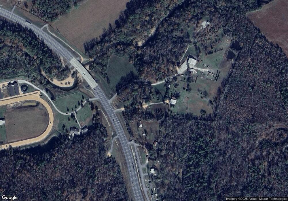
2309 Hollowoa Rd Benton, AR 72019
Estimated Value: $223,000 - $479,000
--
Bed
--
Bath
1,500
Sq Ft
$212/Sq Ft
Est. Value
About This Home
This home is located at 2309 Hollowoa Rd, Benton, AR 72019 and is currently estimated at $318,629, approximately $212 per square foot. 2309 Hollowoa Rd is a home with nearby schools including Ringgold Elementary School, Benton Middle School, and Benton Junior High School.
Ownership History
Date
Name
Owned For
Owner Type
Purchase Details
Closed on
Oct 30, 2023
Sold by
Pennington Ella Pearl
Bought by
Nall Deronda Kay and Pennington Roger Gene
Current Estimated Value
Purchase Details
Closed on
May 4, 2016
Sold by
Pennington Ella
Bought by
Hollowoa Roy Roger and Hollowoa Elizabeth Ann
Purchase Details
Closed on
Apr 1, 2008
Sold by
Hollowoa Roy Rogers and Hollowoa Elizabeth
Bought by
Pennington Ella
Purchase Details
Closed on
Aug 16, 1995
Bought by
Ella
Create a Home Valuation Report for This Property
The Home Valuation Report is an in-depth analysis detailing your home's value as well as a comparison with similar homes in the area
Home Values in the Area
Average Home Value in this Area
Purchase History
| Date | Buyer | Sale Price | Title Company |
|---|---|---|---|
| Nall Deronda Kay | -- | None Listed On Document | |
| Hollowoa Roy Roger | -- | None Available | |
| Pennington Ella | -- | None Available | |
| Ella | -- | -- |
Source: Public Records
Tax History Compared to Growth
Tax History
| Year | Tax Paid | Tax Assessment Tax Assessment Total Assessment is a certain percentage of the fair market value that is determined by local assessors to be the total taxable value of land and additions on the property. | Land | Improvement |
|---|---|---|---|---|
| 2025 | $1,752 | $33,950 | $6,424 | $27,526 |
| 2024 | $1,752 | $33,950 | $6,424 | $27,526 |
| 2023 | $1,104 | $33,950 | $6,424 | $27,526 |
| 2022 | $629 | $33,950 | $6,424 | $27,526 |
| 2021 | $629 | $24,310 | $4,160 | $20,150 |
| 2020 | $629 | $24,310 | $4,160 | $20,150 |
| 2019 | $1,147 | $32,300 | $4,470 | $27,830 |
| 2018 | $1,162 | $32,300 | $4,470 | $27,830 |
| 2017 | $1,120 | $32,300 | $4,470 | $27,830 |
| 2016 | $1,399 | $33,680 | $4,440 | $29,240 |
| 2015 | $1,371 | $33,680 | $4,440 | $29,240 |
| 2014 | $1,021 | $26,020 | $4,440 | $21,580 |
Source: Public Records
Map
Nearby Homes
- 16059 Hwy 70
- 12700 Cabin Creek Loop
- 0000 Fawn Glade
- 5.89 acres Detherage Rd
- 5.80 acres Detherage Rd
- 7024 Hannah Ln
- 7000 Rolling Manor Dr
- 2550 Smith Ford Rd
- 2624 White Tail St
- 4051 Whitney Ln
- 203 Playmore St
- 6115 Point View Rd
- 3350 White Tail St
- 4109 Hampton Dr
- 2009 Berkshire Dr
- 3914 Beacon Cove
- 00000 Crossroads
- 8903 & 8905 Fairplay Rd
- 3809 Hwy 128
- 7035 Point View Rd
- 2313 Hollowoa Rd
- 3410 Browning Rd
- 2200 Aep Rd
- 3426 Browning Rd
- 0 Browning Rd
- 15219 Highway 70
- 15425 Highway 70
- 15425 Hwy 70
- 3508 Browning Rd
- 2899 Hubbard Rd
- 3177 Fairplay Rd
- 3198 Fairplay Rd
- 2995 Hubbard Rd
- 3854 Browning Rd
- 15908 Highway 70
- 15832 Highway 70
- 4098 Browning Rd
- 2947 Hubbard Rd
- 15963 Highway 70
- 15912 Highway 70
