231 6th St Scotts Mills, OR 97375
Estimated Value: $569,000 - $954,000
1
Bed
3
Baths
5,122
Sq Ft
$148/Sq Ft
Est. Value
About This Home
This home is located at 231 6th St, Scotts Mills, OR 97375 and is currently estimated at $757,858, approximately $147 per square foot. 231 6th St is a home with nearby schools including Scotts Mills Elementary School and Silverton High School.
Ownership History
Date
Name
Owned For
Owner Type
Purchase Details
Closed on
Jul 9, 2010
Sold by
Buckholz Cheryl J
Bought by
Buckholz Richard and Buckholz Cheryl J
Current Estimated Value
Home Financials for this Owner
Home Financials are based on the most recent Mortgage that was taken out on this home.
Original Mortgage
$817,500
Outstanding Balance
$540,096
Interest Rate
4.76%
Mortgage Type
Reverse Mortgage Home Equity Conversion Mortgage
Estimated Equity
$217,762
Purchase Details
Closed on
May 1, 2006
Sold by
Buckholz Richard D
Bought by
Buckholz Cheryl J
Create a Home Valuation Report for This Property
The Home Valuation Report is an in-depth analysis detailing your home's value as well as a comparison with similar homes in the area
Home Values in the Area
Average Home Value in this Area
Purchase History
| Date | Buyer | Sale Price | Title Company |
|---|---|---|---|
| Buckholz Richard | -- | Servicelink | |
| Buckholz Cheryl J | -- | Accommodation |
Source: Public Records
Mortgage History
| Date | Status | Borrower | Loan Amount |
|---|---|---|---|
| Open | Buckholz Richard | $817,500 |
Source: Public Records
Tax History Compared to Growth
Tax History
| Year | Tax Paid | Tax Assessment Tax Assessment Total Assessment is a certain percentage of the fair market value that is determined by local assessors to be the total taxable value of land and additions on the property. | Land | Improvement |
|---|---|---|---|---|
| 2025 | $4,248 | $334,560 | -- | -- |
| 2024 | $4,248 | $324,820 | -- | -- |
| 2023 | $4,140 | $315,360 | $0 | $0 |
| 2022 | $3,922 | $306,180 | $0 | $0 |
| 2021 | $3,815 | $297,270 | $0 | $0 |
| 2020 | $3,721 | $288,620 | $0 | $0 |
| 2019 | $3,607 | $280,220 | $0 | $0 |
| 2018 | $3,621 | $0 | $0 | $0 |
| 2017 | $3,541 | $0 | $0 | $0 |
| 2016 | $3,455 | $0 | $0 | $0 |
| 2015 | $3,355 | $0 | $0 | $0 |
| 2014 | $3,257 | $0 | $0 | $0 |
Source: Public Records
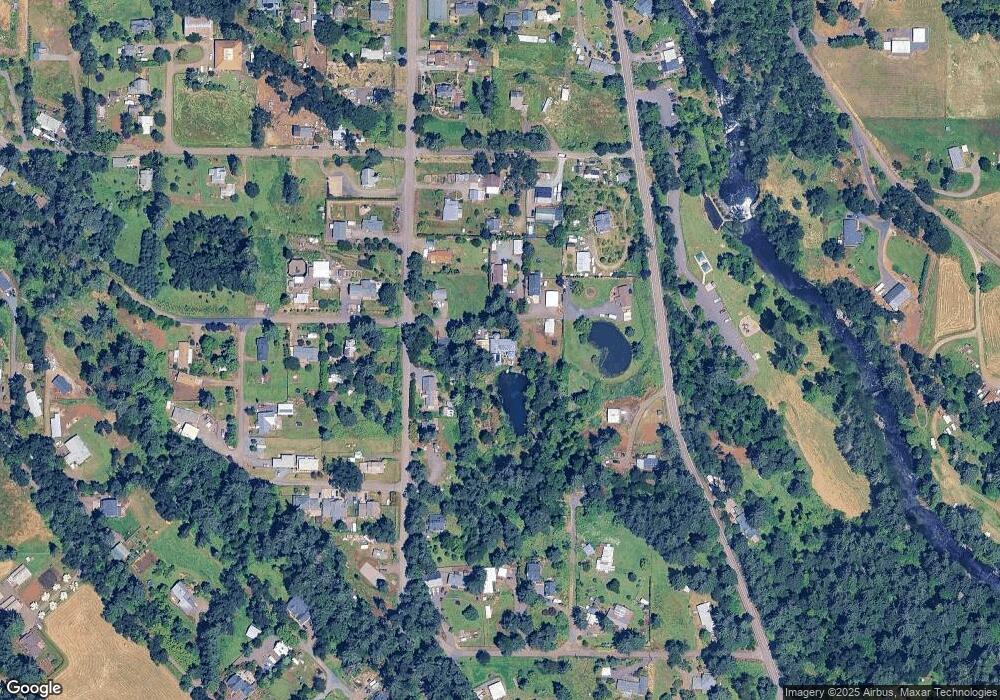
Map
Nearby Homes
- 0 Crooked Finger Rd NE Unit 827344
- 0 Crooked Finger Rd NE Unit 265826977
- Lot 1600 Crooked Finger Rd NE
- 000 Crooked Finger Rd NE
- 339 4th St
- 0 Off of Crooked Finge Rd
- 551 6th St
- 7138 Grandview Ave
- 7118 Grandview Ave
- 0 Hazelnut Ridge Rd
- 0 Address Undisclosed NE Unit 834166
- 0 Peak View Unit Lots 24 & 46
- 37486 S Highway 213 (Adj To)
- 37486 S Hwy 213 (Adj To)
- 17616 Abiqua Rd NE
- 37658 S Highway 213
- 17576 Abiqua Rd NE
- 5632 Mac Way NE
- 6627 Mary Ln NE
- 8438 Cascade Hwy NE
- 281 6th St
- 216 6th St
- 222 6th St
- 651 Grandview Heights
- 651 Grandview Ave
- 541 Grandview Heights
- 570 Crooked Finger Rd NE
- 661 Grandview Ave
- 661 Grandview Ave
- 661 Grand View Heights
- 175 5th St
- 521 Grandview Heights
- 530 Crooked Finger Rd NE
- 310 6th St
- 315 6th St
- 0 Crooked Finger Rd NE Unit 805572
- 0 Crooked Finger Rd NE Unit 21010838
- 0 Crooked Finger Rd NE
- 550 Grandview Heights
- 698 Grandview Heights