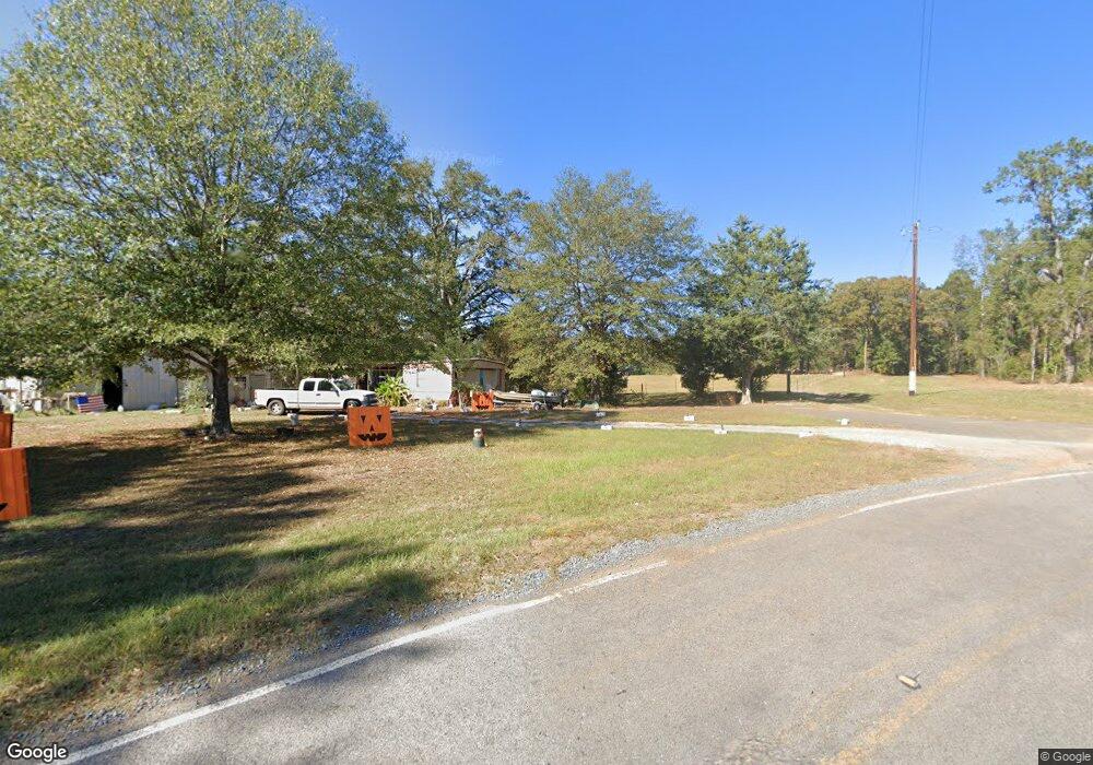
231 Airline Rd Calhoun, LA 71225
Estimated Value: $182,322 - $337,000
3
Beds
2
Baths
1,848
Sq Ft
$128/Sq Ft
Est. Value
About This Home
This home is located at 231 Airline Rd, Calhoun, LA 71225 and is currently estimated at $235,831, approximately $127 per square foot. 231 Airline Rd is a home located in Ouachita Parish with nearby schools including Drew Elementary School and West Monroe High School.
Ownership History
Date
Name
Owned For
Owner Type
Purchase Details
Closed on
Jul 19, 2006
Sold by
Hollis Patricia Ann
Bought by
Davis Harold Glynn
Current Estimated Value
Home Financials for this Owner
Home Financials are based on the most recent Mortgage that was taken out on this home.
Original Mortgage
$115,000
Outstanding Balance
$68,084
Interest Rate
6.6%
Mortgage Type
New Conventional
Estimated Equity
$167,747
Create a Home Valuation Report for This Property
The Home Valuation Report is an in-depth analysis detailing your home's value as well as a comparison with similar homes in the area
Home Values in the Area
Average Home Value in this Area
Purchase History
| Date | Buyer | Sale Price | Title Company |
|---|---|---|---|
| Davis Harold Glynn | $115,000 | None Available |
Source: Public Records
Mortgage History
| Date | Status | Borrower | Loan Amount |
|---|---|---|---|
| Open | Davis Harold Glynn | $115,000 |
Source: Public Records
Tax History Compared to Growth
Tax History
| Year | Tax Paid | Tax Assessment Tax Assessment Total Assessment is a certain percentage of the fair market value that is determined by local assessors to be the total taxable value of land and additions on the property. | Land | Improvement |
|---|---|---|---|---|
| 2024 | $260 | $10,231 | $571 | $9,660 |
| 2023 | $260 | $10,231 | $571 | $9,660 |
| 2022 | $908 | $10,231 | $571 | $9,660 |
| 2021 | $919 | $10,231 | $571 | $9,660 |
| 2020 | $919 | $10,231 | $571 | $9,660 |
| 2019 | $916 | $10,231 | $571 | $9,660 |
| 2018 | $245 | $10,231 | $571 | $9,660 |
| 2017 | $916 | $10,231 | $571 | $9,660 |
| 2016 | $916 | $10,231 | $571 | $9,660 |
| 2015 | $244 | $10,231 | $571 | $9,660 |
| 2014 | $914 | $10,231 | $571 | $9,660 |
| 2013 | $911 | $10,231 | $571 | $9,660 |
Source: Public Records
Map
Nearby Homes
- 3375 Highway 15
- 3235 Highway 15
- 0 (A) Carter Rd
- 0 (B) Carter Rd
- 000 C Carter Rd
- 201 Glen Acres Rd
- 257 Sugarloaf Dr
- 3 Wilson - Turner Ln
- 138 Mangum Ln
- 0 Laguna Villas Dr
- 000 J T Griggs Rd Unit 454 J T Griggs Road
- 00 J T Griggs Rd Unit 454 J T Griggs Road
- 454 J T Griggs Rd
- 0 J T Griggs Rd Unit 454 J T Griggs Road
- 0 MacHen Rd
- 159 Chapel Ln
- 171 Chimney Hill Rd
- 158 Rex Robertson Rd
- 205 Chapel Hill Place
- 000 Strozier Rd
- 231 Airline Rd
- 205 Airline Rd
- 271 Airline Rd
- 271 Airline Rd
- 264 Airline Rd
- 171 Airline Dr
- 383 Old Arkansas Rd E
- 276 Airline Rd
- 168 Airline Rd
- 332 Old Arkansas Rd E
- 3585 Highway 15
- 3603 Highway 15
- 256 Old Arkansas Rd E
- 3555 Highway 15
- 3555 Louisiana 15
- 132 Airline Rd
- 479 Old Arkansas Rd E
- 475 Old Arkansas Rd E
- 162 Ritter Rd
- 284 John Kent Rd