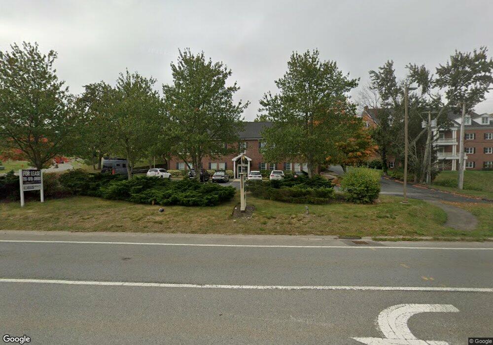
231 Chief Justice Cushing Hwy Unit 101 Cohasset, MA 02025
Estimated Value: $1,417,169
--
Bed
--
Bath
6,468
Sq Ft
$219/Sq Ft
Est. Value
About This Home
This home is located at 231 Chief Justice Cushing Hwy Unit 101, Cohasset, MA 02025 and is currently estimated at $1,417,169, approximately $219 per square foot. 231 Chief Justice Cushing Hwy Unit 101 is a home located in Norfolk County with nearby schools including Joseph Osgood School, Deer Hill School, and Cohasset Middle School.
Ownership History
Date
Name
Owned For
Owner Type
Purchase Details
Closed on
Jul 18, 2019
Sold by
Brass Kettle Llc
Bought by
Union Street Rt
Current Estimated Value
Home Financials for this Owner
Home Financials are based on the most recent Mortgage that was taken out on this home.
Original Mortgage
$607,500
Outstanding Balance
$532,224
Interest Rate
3.82%
Mortgage Type
New Conventional
Estimated Equity
$884,945
Create a Home Valuation Report for This Property
The Home Valuation Report is an in-depth analysis detailing your home's value as well as a comparison with similar homes in the area
Home Values in the Area
Average Home Value in this Area
Purchase History
| Date | Buyer | Sale Price | Title Company |
|---|---|---|---|
| Union Street Rt | $880,000 | -- | |
| Brass Kettle Llc | -- | -- |
Source: Public Records
Mortgage History
| Date | Status | Borrower | Loan Amount |
|---|---|---|---|
| Open | Union Street Rt | $607,500 |
Source: Public Records
Tax History Compared to Growth
Tax History
| Year | Tax Paid | Tax Assessment Tax Assessment Total Assessment is a certain percentage of the fair market value that is determined by local assessors to be the total taxable value of land and additions on the property. | Land | Improvement |
|---|---|---|---|---|
| 2025 | $14,203 | $1,226,500 | $706,400 | $520,100 |
| 2024 | $14,711 | $1,208,800 | $673,300 | $535,500 |
| 2023 | $14,238 | $1,206,600 | $673,300 | $533,300 |
| 2022 | $13,867 | $1,104,100 | $640,600 | $463,500 |
| 2021 | $14,695 | $1,126,900 | $640,600 | $486,300 |
| 2020 | $15,860 | $1,222,800 | $640,600 | $582,200 |
| 2019 | $15,774 | $1,222,800 | $640,600 | $582,200 |
| 2018 | $15,640 | $1,222,800 | $640,600 | $582,200 |
| 2017 | $15,458 | $1,183,600 | $620,800 | $562,800 |
| 2016 | $15,245 | $1,183,600 | $620,800 | $562,800 |
| 2015 | $15,044 | $1,183,600 | $620,800 | $562,800 |
| 2014 | $14,297 | $1,140,100 | $577,300 | $562,800 |
Source: Public Records
Map
Nearby Homes
- 137 Fairoaks Ln
- 512 N Main St
- 296 N Main St
- 506 N Main St
- 29 Heather Dr
- 31 Chittenden Ln Unit 31
- 152 Forest Ave
- 78 Old Pasture Rd
- 119 Pleasant St
- 25 Ripley Rd
- 146 N Main St Unit 146
- 247 Forest Ave
- 15 Cushing Rd
- 89 Ripley Rd
- 46 Pond St
- 114 Hull St
- 18 Pleasant St
- 73 Pond St
- 45 Ocean Ledge Dr
- 166 Hull St
- 231 Chief Justice Cushing Hwy
- 223 Chief Justice Cushing Hwy
- 127 King St Unit B
- 129 King St Unit A
- 226 Chief Justice Cushing Hwy
- 226 Chief Justice Cushing Hwy Unit 2
- 215 Chief Justice Cushing Hwy
- 43 King St
- 179 Chief Justice Cushing Hwy
- 179 Massachusetts 3a
- 36 King St
- 27 King St
- 27 King St Unit single fam
- 30 King St
- 19 King St
- 10 Sanctuary Pond Rd
- 17 King St
- 15 King St
- 4 Rose Hill Ln
- 4 Rose Hill Ln