231 Dairy Loop Duncan, AZ 85534
Estimated Value: $293,429 - $466,000
Studio
--
Bath
2,278
Sq Ft
$153/Sq Ft
Est. Value
About This Home
This home is located at 231 Dairy Loop, Duncan, AZ 85534 and is currently estimated at $347,857, approximately $152 per square foot. 231 Dairy Loop is a home located in Greenlee County with nearby schools including Duncan Elementary School and Duncan High School.
Ownership History
Date
Name
Owned For
Owner Type
Purchase Details
Closed on
Mar 9, 2009
Sold by
Lunt Paul Rudd
Bought by
Lunt Paul Rudd and Lunt Sharon
Current Estimated Value
Purchase Details
Closed on
Aug 10, 2005
Sold by
Lunt Shirley N
Bought by
Lunt Shirley N and Henry Rudd Lunt Family Trust
Create a Home Valuation Report for This Property
The Home Valuation Report is an in-depth analysis detailing your home's value as well as a comparison with similar homes in the area
Purchase History
| Date | Buyer | Sale Price | Title Company |
|---|---|---|---|
| Lunt Paul Rudd | -- | None Available | |
| Lunt Shirley N | -- | Stewart Title Agency Inc |
Source: Public Records
Tax History
| Year | Tax Paid | Tax Assessment Tax Assessment Total Assessment is a certain percentage of the fair market value that is determined by local assessors to be the total taxable value of land and additions on the property. | Land | Improvement |
|---|---|---|---|---|
| 2026 | $933 | -- | -- | -- |
| 2025 | $933 | $18,837 | $670 | $18,167 |
| 2024 | $933 | $18,304 | $583 | $17,721 |
| 2023 | $933 | $16,981 | $511 | $16,470 |
| 2022 | $913 | $17,728 | $445 | $17,283 |
| 2021 | $977 | $0 | $0 | $0 |
| 2020 | $997 | $0 | $0 | $0 |
| 2019 | $926 | $0 | $0 | $0 |
| 2018 | $827 | $0 | $0 | $0 |
| 2017 | $823 | $0 | $0 | $0 |
| 2016 | $73,204 | $0 | $0 | $0 |
| 2015 | $71,396 | $0 | $0 | $0 |
Source: Public Records
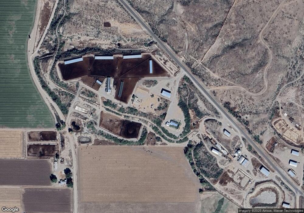
Map
Nearby Homes
- 58 Franklin Rd
- 28.92ac Franklin Rd
- 581 Franklin Rd
- 653 Old Us 70
- 380254 Highway 70 E
- TBD Skyline Dr
- 205 Parks Canyon Rd Unit 27
- 202 Madison St
- 0 Tbd Unit 1720854
- 99 Campbell St
- 124 Cricket Way
- 0 Campbell St
- TBD Campbell Mesquite St
- 455 Campbell St
- 0 Off of Hwy 70
- 160 Prickle Pear
- 715 Tyler Farms Rd
- 220 Kaywood Wash Rd
- 0 La Canada Rd
- TBD La Canada Rd Unit n/a
- 309 Dairy Loop
- 81 Riverview Rd
- 502 Lunt Ln
- 101 Rodriquez Ln
- 951 Lunt Ln
- 983 Lunt Ln
- 451 Lunt Ln
- 1017 Lunt Ln
- 65 Rodriquez Ln
- 81 Rodriquez Ln
- 4641 Virden Rd Unit X
- 233 Day School Rd
- 182 Johns Ln
- 495 Day School Rd
- 751 Lovers Ln
- 2416 Railroad Wash Rd
- 3965 Virden Rd
- 3965 Virden Rd
- 3970 Virden Rd
- 73 J 5 Ranch Rd
Your Personal Tour Guide
Ask me questions while you tour the home.