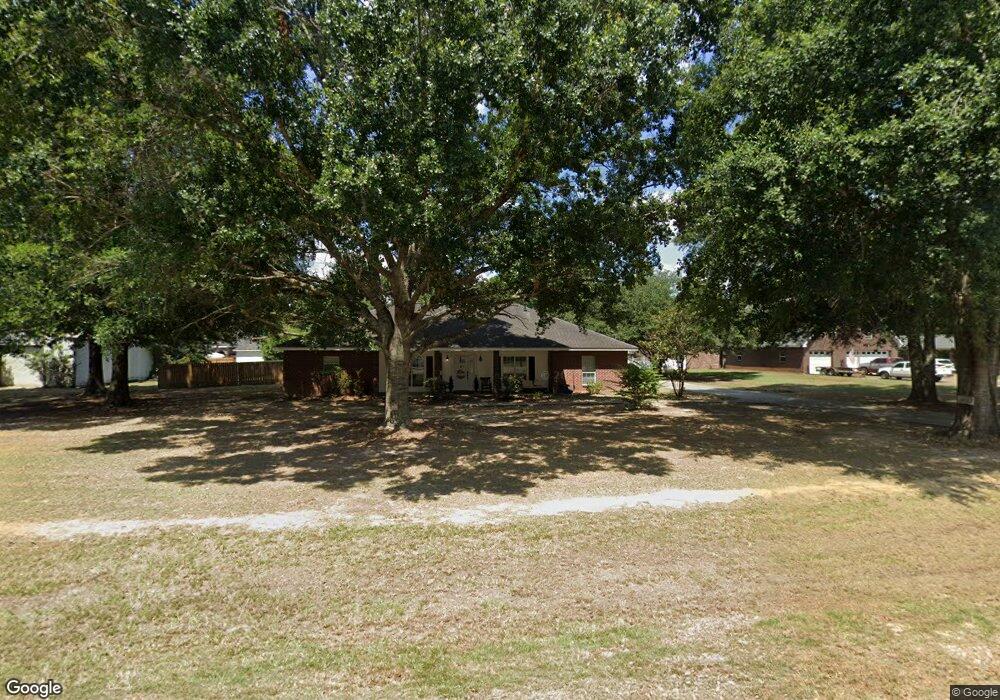
231 Dedria Ln Unit Lane Deridder, LA 70634
Estimated Value: $278,509 - $330,000
3
Beds
2
Baths
3,356
Sq Ft
$92/Sq Ft
Est. Value
About This Home
This home is located at 231 Dedria Ln Unit Lane, Deridder, LA 70634 and is currently estimated at $308,127, approximately $91 per square foot. 231 Dedria Ln Unit Lane is a home located in Beauregard Parish with nearby schools including K.R. Hanchey Elementary School, Pine Wood Elementary School, and Carver Elementary School.
Ownership History
Date
Name
Owned For
Owner Type
Purchase Details
Closed on
Apr 9, 2019
Sold by
Hall Wayne Owen and Hall Dawn Ann
Bought by
Green Carroll A and Green Marjorie W
Current Estimated Value
Purchase Details
Closed on
Jan 19, 2019
Sold by
Hedges Floyd Warren Scott and Hedges Floyd
Bought by
Hall Wayne Owen and Hall Dawn Ann
Home Financials for this Owner
Home Financials are based on the most recent Mortgage that was taken out on this home.
Original Mortgage
$300,000
Interest Rate
4.6%
Mortgage Type
New Conventional
Create a Home Valuation Report for This Property
The Home Valuation Report is an in-depth analysis detailing your home's value as well as a comparison with similar homes in the area
Home Values in the Area
Average Home Value in this Area
Purchase History
| Date | Buyer | Sale Price | Title Company |
|---|---|---|---|
| Green Carroll A | $225,700 | None Available | |
| Hall Wayne Owen | -- | None Available |
Source: Public Records
Mortgage History
| Date | Status | Borrower | Loan Amount |
|---|---|---|---|
| Previous Owner | Hall Wayne Owen | $300,000 |
Source: Public Records
Tax History Compared to Growth
Tax History
| Year | Tax Paid | Tax Assessment Tax Assessment Total Assessment is a certain percentage of the fair market value that is determined by local assessors to be the total taxable value of land and additions on the property. | Land | Improvement |
|---|---|---|---|---|
| 2024 | $2,833 | $23,947 | $1,600 | $22,347 |
| 2023 | $2,923 | $24,087 | $1,500 | $22,587 |
| 2022 | $2,923 | $24,087 | $1,500 | $22,587 |
| 2021 | $2,923 | $24,087 | $1,500 | $22,587 |
| 2020 | $2,923 | $24,087 | $1,500 | $22,587 |
| 2019 | $2,924 | $24,087 | $1,500 | $22,587 |
| 2018 | $2,924 | $24,087 | $1,500 | $22,587 |
| 2017 | $2,924 | $24,087 | $1,500 | $22,587 |
| 2016 | $2,906 | $24,087 | $1,500 | $22,587 |
| 2015 | $854 | $24,087 | $1,500 | $22,587 |
| 2014 | $1,947 | $24,087 | $1,500 | $22,587 |
Source: Public Records
Map
Nearby Homes
- 0 Stillwood
- 0 Tbd Land Bayou Pines Lot 57
- 3460 U S 190
- 190 Blue Ridge Rd Unit Blue Ridge
- 3434 U S 190
- 549 Wingate Rd
- 134 P W Dr W
- 3610 U S 190
- 2570 U S 190
- 119 Henderson St
- 111 Henderson St
- 2389 Glendale Rd
- 1914 Donna Dr
- 906 Birch Dr
- 147 S Planer Mill Rd
- 0 Planer Mill Rd
- 1000 Kathleen Dr
- 333 Dees St
- 1015 Michael Dr
- 246 Church St
- 231 Dedria Ln
- 215 Dedria Ln
- 251 Dedria Ln
- 240 Country Ln
- 230 Dedria Ln
- 230 Dedria Ln Unit DR
- 224 Country Ln
- 220 Dedria Ln
- 197 Dedria Ln
- 252 Dedria Ln
- 267 Dedria Ln
- 216 Country Ln
- 200 Dedria Ln
- 200 Dedria Ln Unit Lane
- 280 Country Ln
- 270 Dedria Ln
- 181 Dedria Ln
- 198 Country Ln
- 180 Dedria Ln
- 275 Dedria Ln