231 George Strait Canyon Lake, TX 78133
Estimated Value: $540,787 - $614,000
--
Bed
3
Baths
2,263
Sq Ft
$253/Sq Ft
Est. Value
About This Home
This home is located at 231 George Strait, Canyon Lake, TX 78133 and is currently estimated at $571,447, approximately $252 per square foot. 231 George Strait is a home located in Comal County with nearby schools including Mt Valley Elementary School, Mt Valley Middle School, and Canyon Lake High School.
Ownership History
Date
Name
Owned For
Owner Type
Purchase Details
Closed on
Nov 26, 2006
Sold by
Rancho Del Lago Inc
Bought by
Gonzales David and Curtis Jennifer
Current Estimated Value
Home Financials for this Owner
Home Financials are based on the most recent Mortgage that was taken out on this home.
Original Mortgage
$38,610
Interest Rate
6.24%
Mortgage Type
Seller Take Back
Purchase Details
Closed on
Jan 3, 2006
Sold by
Sauceda Abelardo and Sauceda Debral
Bought by
Rancho Del Lago Inc
Create a Home Valuation Report for This Property
The Home Valuation Report is an in-depth analysis detailing your home's value as well as a comparison with similar homes in the area
Home Values in the Area
Average Home Value in this Area
Purchase History
| Date | Buyer | Sale Price | Title Company |
|---|---|---|---|
| Gonzales David | -- | None Available | |
| Rancho Del Lago Inc | $48,775 | None Available |
Source: Public Records
Mortgage History
| Date | Status | Borrower | Loan Amount |
|---|---|---|---|
| Previous Owner | Gonzales David | $38,610 |
Source: Public Records
Tax History Compared to Growth
Tax History
| Year | Tax Paid | Tax Assessment Tax Assessment Total Assessment is a certain percentage of the fair market value that is determined by local assessors to be the total taxable value of land and additions on the property. | Land | Improvement |
|---|---|---|---|---|
| 2025 | $3,324 | $446,626 | -- | -- |
| 2024 | $3,324 | $406,024 | -- | -- |
| 2023 | $3,324 | $369,113 | $0 | $0 |
| 2022 | $3,676 | $335,557 | -- | -- |
| 2021 | $5,463 | $309,300 | $68,860 | $240,440 |
| 2020 | $5,152 | $277,320 | $46,850 | $230,470 |
| 2019 | $5,413 | $295,620 | $46,850 | $248,770 |
| 2018 | $4,870 | $257,980 | $37,480 | $220,500 |
| 2017 | $4,880 | $260,540 | $33,470 | $227,070 |
| 2016 | $4,797 | $256,110 | $27,840 | $228,270 |
| 2015 | $2,832 | $237,010 | $26,770 | $210,240 |
| 2014 | $2,832 | $217,960 | $26,770 | $191,190 |
Source: Public Records
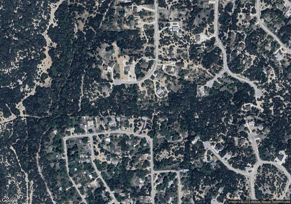
Map
Nearby Homes
- 239 George Strait
- 1031 Parton and 151 Reeves Rd
- 1560 Roadrunner Ln
- 1193 Parton Rd
- 1004 Parton Rd
- 1252 Parton Rd
- 1012 Parton Rd
- 520 Golden Eagle Loop
- 381 Monarch
- 151 Nighthawk Ln
- 355 Nighthawk Ct
- 162 Falcon Ct
- 355 & 375 Nighthawk Ct
- 1316 Lonesome
- 120 Golden Eagle Loop
- 1456 Lonesome
- 570 La Paloma Dr
- 1440 Fm 3424
- 911 Heritage Hill
- 1163 Lavaca
- 227 George Strait
- 1472 Canyon Trace
- 1426 Canyon Trace
- 1462 Canyon Trace
- 1502 Canyon Trace
- 1512 Canyon Trace
- 218 George Strait
- 242 George Strait
- 217 George Strait
- 1542 Canyon Trace
- 263 George Strait
- 1459 Canyon Trace
- 1495 Canyon Trace
- 1416 Canyon Trace
- 213 George Strait
- 236 Raven Ct
- 254 George Strait
- 1582 Canyon Trace
- 1375 Canyon Trace
- 1375 Canyon Trace Unit A