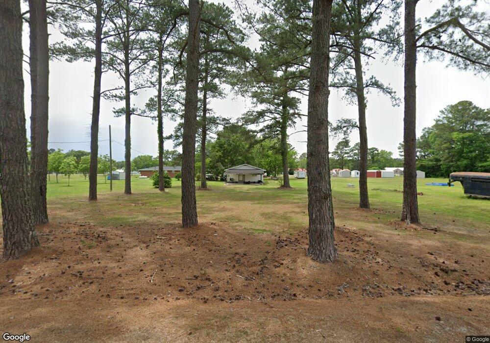
231 Kay Rd Clinton, NC 28328
Estimated Value: $105,975 - $174,000
2
Beds
1
Bath
884
Sq Ft
$157/Sq Ft
Est. Value
About This Home
This home is located at 231 Kay Rd, Clinton, NC 28328 and is currently estimated at $138,744, approximately $156 per square foot. 231 Kay Rd is a home located in Sampson County with nearby schools including Langdon C. Kerr Elementary School, Sunset Avenue Elementary School, and Butler Avenue Elementary School.
Ownership History
Date
Name
Owned For
Owner Type
Purchase Details
Closed on
May 16, 2005
Sold by
Thornton Cynthia Lynn and Thornton John Rodney
Bought by
Sulse Louis and Sulse Tammy J
Current Estimated Value
Home Financials for this Owner
Home Financials are based on the most recent Mortgage that was taken out on this home.
Original Mortgage
$24,500
Interest Rate
5.8%
Mortgage Type
New Conventional
Purchase Details
Closed on
May 12, 2005
Sold by
Sulse Tammy J
Bought by
Sulse Louis
Home Financials for this Owner
Home Financials are based on the most recent Mortgage that was taken out on this home.
Original Mortgage
$24,500
Interest Rate
5.8%
Mortgage Type
New Conventional
Purchase Details
Closed on
Apr 21, 2005
Sold by
Bradshaw Patricia Hobbs and Hobbs Jackie K
Bought by
Sulse Louis
Home Financials for this Owner
Home Financials are based on the most recent Mortgage that was taken out on this home.
Original Mortgage
$24,500
Interest Rate
5.8%
Mortgage Type
New Conventional
Create a Home Valuation Report for This Property
The Home Valuation Report is an in-depth analysis detailing your home's value as well as a comparison with similar homes in the area
Home Values in the Area
Average Home Value in this Area
Purchase History
| Date | Buyer | Sale Price | Title Company |
|---|---|---|---|
| Sulse Louis | -- | -- | |
| Sulse Louis | -- | -- | |
| Sulse Louis | $25,000 | -- |
Source: Public Records
Mortgage History
| Date | Status | Borrower | Loan Amount |
|---|---|---|---|
| Closed | Sulse Louis | $24,500 |
Source: Public Records
Tax History Compared to Growth
Tax History
| Year | Tax Paid | Tax Assessment Tax Assessment Total Assessment is a certain percentage of the fair market value that is determined by local assessors to be the total taxable value of land and additions on the property. | Land | Improvement |
|---|---|---|---|---|
| 2025 | $624 | $69,351 | $10,500 | $58,851 |
| 2024 | $569 | $69,351 | $10,500 | $58,851 |
| 2023 | $477 | $44,587 | $9,102 | $35,485 |
| 2022 | $477 | $44,587 | $9,102 | $35,485 |
| 2021 | $477 | $44,587 | $9,102 | $35,485 |
| 2020 | $477 | $44,587 | $9,102 | $35,485 |
| 2019 | $477 | $44,587 | $0 | $0 |
| 2018 | $437 | $40,847 | $0 | $0 |
| 2017 | $437 | $40,847 | $0 | $0 |
| 2016 | $439 | $40,847 | $0 | $0 |
| 2015 | $439 | $40,847 | $0 | $0 |
| 2014 | $437 | $40,847 | $0 | $0 |
Source: Public Records
Map
Nearby Homes
- 90 Miry Creek Ln
- 2291 Hb Lewis Rd
- 1429 Isaac Weeks Rd
- 118 Northgate Ln
- 30 Northgate Ln
- 87 Cedar Lake Ln
- 105 Mcarthur Ln
- 1012 Jasper St
- 1012 Raleigh Rd
- 21 Cedar View Ln
- 1006 Raleigh Rd
- 907 Raleigh Rd
- 706 Walking Stick Trail
- 900 Jasper St
- 900 Beaman St
- 104 Sunny Acres Ln
- 730 Northwest Blvd
- 603 Woodrow St
- 101 Sunny Acres Ln
- 105 Sunny Acres Ln
- 2016 Hobbton Hwy
- 1998 Hobbton Hwy
- 2080 Hobbton Hwy
- 2025 Hobbton Hwy
- 2075 Hobbton Hwy
- 1991 Hobbton Hwy
- 1965 Hobbton Hwy
- 2055 Hobbton Hwy
- 2077 Hobbton Hwy
- 102 Kay Rd
- 1945 Hobbton Hwy
- 2005 Hobbton Hwy
- 2097 Hobbton Hwy
- 1927 Hobbton Hwy
- 1909 Hobbton Hwy
- 2140 Hobbton Hwy
- 100 Kay Rd
- 1891 Hobbton Hwy
- 1871 Hobbton Hwy
- 3 Hobbton Hwy
