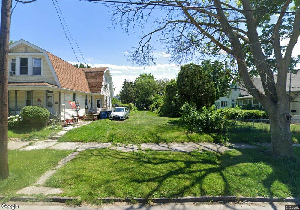
231 Leland Ave Toledo, OH 43609
Southside NeighborhoodEstimated Value: $41,721
2
Beds
1
Bath
1,085
Sq Ft
$38/Sq Ft
Est. Value
About This Home
This home is located at 231 Leland Ave, Toledo, OH 43609 and is currently estimated at $41,721, approximately $38 per square foot. 231 Leland Ave is a home located in Lucas County with nearby schools including Marshall Stemm Academy, Waite High School, and Summit Academy - Toledo.
Ownership History
Date
Name
Owned For
Owner Type
Purchase Details
Closed on
Nov 29, 2021
Sold by
Lucas Cnty Land Reutilization
Bought by
City Of Toledo
Current Estimated Value
Purchase Details
Closed on
Oct 20, 2017
Sold by
Lopez Anita
Bought by
Lucas County Land Reutilization Corporat
Purchase Details
Closed on
Aug 11, 2017
Sold by
Impact Real Estate Llc Anohio Limited Li
Bought by
Land Forfeited
Purchase Details
Closed on
Mar 9, 2005
Sold by
Salisbury Robert K
Bought by
Impact Real Estate Llc
Purchase Details
Closed on
Aug 13, 1999
Sold by
Hinson Mary J and Hinson Marvin E
Bought by
Salisbury Robert K
Purchase Details
Closed on
Feb 3, 1998
Sold by
Estate Of Joan M Kruszewski
Bought by
Hinson Mary J
Purchase Details
Closed on
Sep 8, 1993
Sold by
Kruszewski Kruszewski S S and Kruszewski J
Create a Home Valuation Report for This Property
The Home Valuation Report is an in-depth analysis detailing your home's value as well as a comparison with similar homes in the area
Home Values in the Area
Average Home Value in this Area
Purchase History
| Date | Buyer | Sale Price | Title Company |
|---|---|---|---|
| City Of Toledo | -- | None Listed On Document | |
| Lucas County Land Reutilization Corporat | -- | None Available | |
| Land Forfeited | -- | -- | |
| Impact Real Estate Llc | -- | -- | |
| Salisbury Robert K | $19,500 | -- | |
| Hinson Mary J | -- | -- | |
| -- | -- | -- |
Source: Public Records
Tax History
| Year | Tax Paid | Tax Assessment Tax Assessment Total Assessment is a certain percentage of the fair market value that is determined by local assessors to be the total taxable value of land and additions on the property. | Land | Improvement |
|---|---|---|---|---|
| 2025 | -- | $175 | $175 | -- |
| 2024 | -- | $175 | $175 | -- |
| 2023 | $0 | $140 | $140 | $0 |
| 2022 | $0 | $140 | $140 | $0 |
| 2021 | $0 | $140 | $140 | $0 |
| 2020 | $0 | $140 | $140 | $0 |
| 2019 | $324 | $6,055 | $2,030 | $4,025 |
| 2018 | $324 | $6,055 | $2,030 | $4,025 |
| 2017 | $380 | $5,250 | $1,750 | $3,500 |
| 2016 | $11,347 | $20,800 | $5,000 | $15,800 |
| 2015 | $649 | $20,800 | $5,000 | $15,800 |
| 2014 | $706 | $7,280 | $1,750 | $5,530 |
| 2013 | $471 | $7,280 | $1,750 | $5,530 |
Source: Public Records
Map
Nearby Homes
- 205 Eastern Ave
- 251 Knower St
- 285 Walbridge Ave
- 318 Courtland Ave
- 435 Crittenden Ave
- 205 Courtland Ave
- 520 Emerald Ave
- 578 Prouty Ave
- 581 Prouty Ave
- 702 Boalt St
- 717 Segur Ave
- 323 Langdon St
- 18 City Park Ave
- 410 Langdon St
- 325 Chapin St
- 650 Curtis St
- 825 Colburn St
- 765 Redwood Ave
- 110 Ottawa St
- 708 Bowman St
- 229 Leland Ave
- 237 Leland Ave
- 225 Leland Ave
- 243 Leland Ave
- 245 Leland Ave
- 230 Leland Ave
- 228 Leland Ave
- 236 Leland Ave
- 215 Leland Ave
- 244 Crittenden Ave
- 334 Sumner St
- 240 Leland Ave
- 220 Leland Ave
- 246 Crittenden Ave
- 315 Leland Ave
- 249 Leland Ave
- 332 Sumner St
- 253 Leland Ave
- 338 Sumner St
- 328 Sumner St