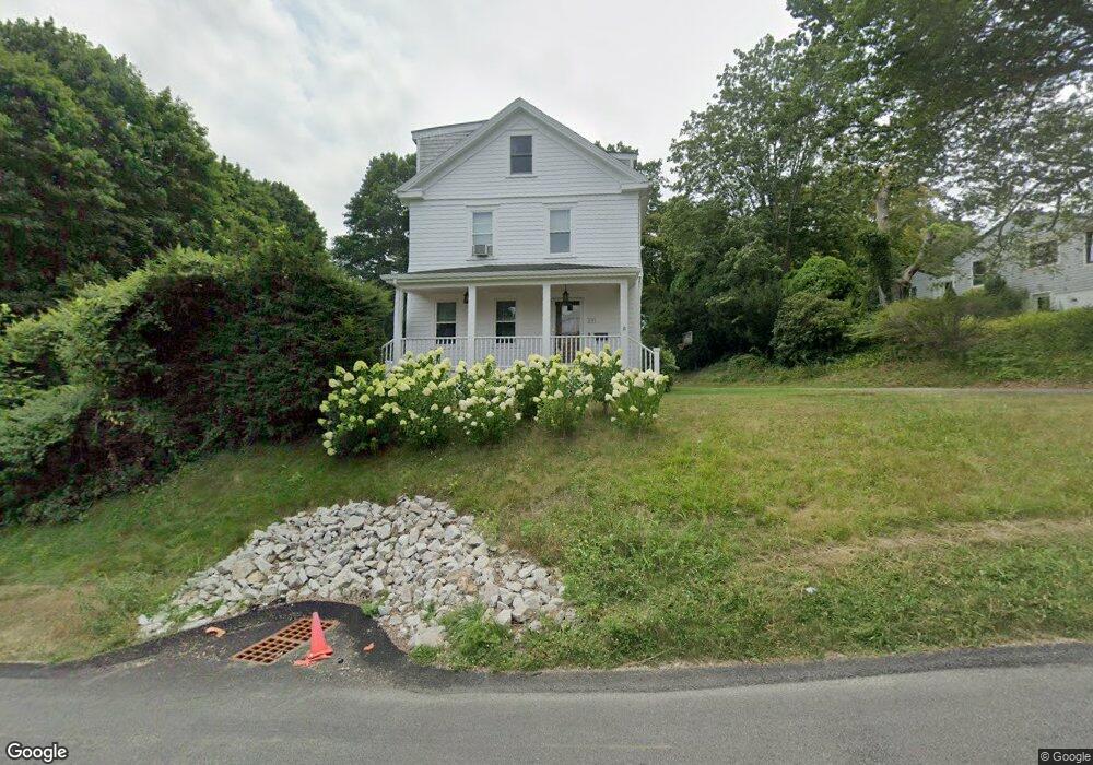
231 Miantonomi Ave Middletown, RI 02842
Estimated Value: $690,000 - $805,683
4
Beds
2
Baths
1,491
Sq Ft
$508/Sq Ft
Est. Value
About This Home
This home is located at 231 Miantonomi Ave, Middletown, RI 02842 and is currently estimated at $757,921, approximately $508 per square foot. 231 Miantonomi Ave is a home located in Newport County with nearby schools including Middletown High School, St Michael's Country Day School, and All Saints STEAM Academy.
Ownership History
Date
Name
Owned For
Owner Type
Purchase Details
Closed on
Jan 18, 2002
Sold by
Humes Louis O and Humes Nancy L
Bought by
Nicole Gianetis Todd and Nicole Gianetic
Current Estimated Value
Home Financials for this Owner
Home Financials are based on the most recent Mortgage that was taken out on this home.
Original Mortgage
$218,000
Interest Rate
6.84%
Mortgage Type
Purchase Money Mortgage
Create a Home Valuation Report for This Property
The Home Valuation Report is an in-depth analysis detailing your home's value as well as a comparison with similar homes in the area
Home Values in the Area
Average Home Value in this Area
Purchase History
| Date | Buyer | Sale Price | Title Company |
|---|---|---|---|
| Nicole Gianetis Todd | $230,000 | -- |
Source: Public Records
Mortgage History
| Date | Status | Borrower | Loan Amount |
|---|---|---|---|
| Open | Nicole Gianetis Todd | $115,000 | |
| Closed | Nicole Gianetis Todd | $90,000 | |
| Open | Nicole Gianetis Todd | $250,000 | |
| Closed | Nicole Gianetis Todd | $218,000 |
Source: Public Records
Tax History
| Year | Tax Paid | Tax Assessment Tax Assessment Total Assessment is a certain percentage of the fair market value that is determined by local assessors to be the total taxable value of land and additions on the property. | Land | Improvement |
|---|---|---|---|---|
| 2025 | $8,156 | $691,800 | $334,800 | $357,000 |
| 2024 | $7,790 | $691,800 | $334,800 | $357,000 |
| 2023 | $5,553 | $441,100 | $183,800 | $257,300 |
| 2022 | $5,302 | $441,100 | $183,800 | $257,300 |
| 2021 | $5,302 | $441,100 | $183,800 | $257,300 |
| 2020 | $5,225 | $379,700 | $160,400 | $219,300 |
| 2018 | $5,221 | $379,700 | $160,400 | $219,300 |
| 2016 | $4,697 | $304,600 | $114,500 | $190,100 |
| 2015 | $4,581 | $304,600 | $114,500 | $190,100 |
| 2014 | $4,792 | $298,200 | $121,800 | $176,400 |
| 2013 | $4,685 | $298,200 | $121,800 | $176,400 |
Source: Public Records
Map
Nearby Homes
- 7 Restmere Terrace
- 1 Ichabod Ln
- 1 Shangri-La Ln
- 23 Livingston Place
- 55 John Clarke Rd Unit 8
- 55 John Clarke Rd Unit 3
- 14 Kay Blvd
- 19 Vernon Ave
- 149 W Main Rd
- 10 Smithfield Dr
- 5 Elliot Place
- 30 Toppa Blvd
- 476 Green End Ave
- 19 Greene Ln
- 72 Bedlow Ave
- 10 Oceanview Dr
- 1 Arnold Ave
- 129 Bliss Mine Rd
- 74 Valley Rd
- 78 Ellery Rd
- 2 Simmons Terrace
- 222 Miantonomi Ave
- 230 Miantonomi Ave
- 4 Simmons Terrace
- 1 Simmons Terrace
- 3 Simmons Terrace
- 6 Simmons Terrace
- 170 Green End Ave
- 5 Simmons Terrace
- 218 Boulevard
- 178 Green End Ave
- 216 Boulevard
- 11 Sherri Ln
- 9 Sherri Ln
- 160 Green End Ave
- 7 Sherri Ln
- 150 Green End Ave
- 210 Boulevard Terrace
- 130 Green End Ave
- 196 Boulevard
Your Personal Tour Guide
Ask me questions while you tour the home.