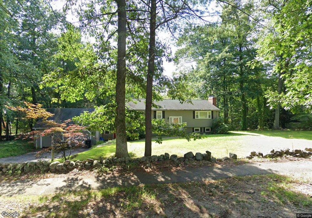
231 Mossman Rd Sudbury, MA 01776
Estimated Value: $906,203 - $1,030,000
3
Beds
3
Baths
2,148
Sq Ft
$458/Sq Ft
Est. Value
About This Home
This home is located at 231 Mossman Rd, Sudbury, MA 01776 and is currently estimated at $982,801, approximately $457 per square foot. 231 Mossman Rd is a home located in Middlesex County with nearby schools including Josiah Haynes Elementary School, Ephraim Curtis Middle School, and Lincoln-Sudbury Regional High School.
Ownership History
Date
Name
Owned For
Owner Type
Purchase Details
Closed on
Jan 12, 2001
Sold by
Regan Thomas P and Regan Noreen A
Bought by
Gaeta Frank N
Current Estimated Value
Home Financials for this Owner
Home Financials are based on the most recent Mortgage that was taken out on this home.
Original Mortgage
$351,000
Outstanding Balance
$130,446
Interest Rate
7.64%
Mortgage Type
Purchase Money Mortgage
Estimated Equity
$852,355
Create a Home Valuation Report for This Property
The Home Valuation Report is an in-depth analysis detailing your home's value as well as a comparison with similar homes in the area
Home Values in the Area
Average Home Value in this Area
Purchase History
| Date | Buyer | Sale Price | Title Company |
|---|---|---|---|
| Gaeta Frank N | $390,000 | -- |
Source: Public Records
Mortgage History
| Date | Status | Borrower | Loan Amount |
|---|---|---|---|
| Open | Gaeta Frank N | $205,000 | |
| Open | Gaeta Frank N | $351,000 | |
| Previous Owner | Gaeta Frank N | $214,000 |
Source: Public Records
Tax History Compared to Growth
Tax History
| Year | Tax Paid | Tax Assessment Tax Assessment Total Assessment is a certain percentage of the fair market value that is determined by local assessors to be the total taxable value of land and additions on the property. | Land | Improvement |
|---|---|---|---|---|
| 2025 | $11,626 | $794,100 | $483,400 | $310,700 |
| 2024 | $11,282 | $772,200 | $470,600 | $301,600 |
| 2023 | $11,222 | $711,600 | $439,000 | $272,600 |
| 2022 | $11,404 | $631,800 | $406,600 | $225,200 |
| 2021 | $11,279 | $599,000 | $406,600 | $192,400 |
| 2020 | $11,052 | $599,000 | $406,600 | $192,400 |
| 2019 | $10,728 | $599,000 | $406,600 | $192,400 |
| 2018 | $10,552 | $588,500 | $430,600 | $157,900 |
| 2017 | $9,922 | $559,300 | $411,800 | $147,500 |
| 2016 | $9,571 | $537,700 | $397,800 | $139,900 |
| 2015 | $8,951 | $508,600 | $384,200 | $124,400 |
| 2014 | $8,959 | $496,900 | $374,200 | $122,700 |
Source: Public Records
Map
Nearby Homes
- 57 Longfellow Rd
- 67 Powder Mill Rd
- 589 North Rd
- 16 Blacksmith Dr
- 5 Taintor Dr
- 10 Oak Ridge Dr Unit 5
- 5 Oak Ridge Dr Unit 7
- 42 Dakin Rd
- 11 Barnet Rd
- 250 Great Rd
- 369 Border Rd
- 166 Parker St Unit 4
- 55 Widow Rites Ln
- 45 Widow Rites Ln
- 5 Hayes St Unit 5
- 29 Black Birch Ln Unit 29
- 15 Arthur St Unit 15
- 13 Arthur St Unit 15
- 63 Canterbury Dr
- 9 Black Birch Ln Unit 9
- 227 Mossman Rd
- 237 Mossman Rd
- 232 Mossman Rd
- 228 Mossman Rd
- 240 Mossman Rd
- 218 Mossman Rd
- 218 Mossman Rd
- 215 Mossman Rd
- 247 Mossman Rd
- 246 Mossman Rd
- 87 Greystone Ln
- 95 Greystone Ln
- 95 Greystone Ln Unit 95
- 81 Greystone Ln
- 101 Greystone Ln
- 252 Mossman Rd
- 206 Mossman Rd
- 253 Mossman Rd
- 199 Mossman Rd
- 73 Greystone Ln