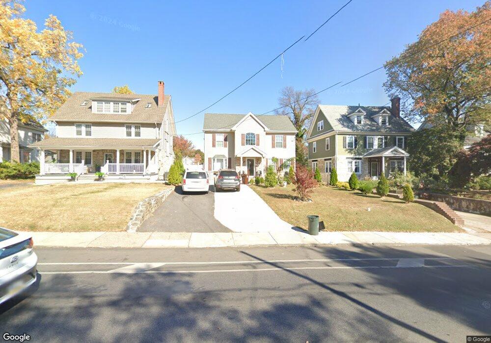
231 N Lansdowne Ave Lansdowne, PA 19050
Estimated Value: $55,120 - $683,000
--
Bed
--
Bath
--
Sq Ft
--
Built
About This Home
This home is located at 231 N Lansdowne Ave, Lansdowne, PA 19050 and is currently estimated at $333,780. 231 N Lansdowne Ave is a home located in Delaware County with nearby schools including Ardmore Avenue School, Penn Wood Middle School, and Penn Wood High School - Cypress Street Campus.
Ownership History
Date
Name
Owned For
Owner Type
Purchase Details
Closed on
Jun 16, 2011
Sold by
Tafari Inc
Bought by
Defreitas Hewlette A and Defreitas Sandra M
Current Estimated Value
Purchase Details
Closed on
Dec 14, 2009
Sold by
Rosenwald Glen
Bought by
Tafari Inc
Home Financials for this Owner
Home Financials are based on the most recent Mortgage that was taken out on this home.
Original Mortgage
$8,000
Interest Rate
5%
Mortgage Type
Seller Take Back
Purchase Details
Closed on
Oct 1, 2007
Sold by
Smith Catherine T
Bought by
Rosenwald Glen
Create a Home Valuation Report for This Property
The Home Valuation Report is an in-depth analysis detailing your home's value as well as a comparison with similar homes in the area
Home Values in the Area
Average Home Value in this Area
Purchase History
| Date | Buyer | Sale Price | Title Company |
|---|---|---|---|
| Defreitas Hewlette A | $22,000 | None Available | |
| Tafari Inc | $8,000 | None Available | |
| Rosenwald Glen | $600 | None Available |
Source: Public Records
Mortgage History
| Date | Status | Borrower | Loan Amount |
|---|---|---|---|
| Previous Owner | Tafari Inc | $8,000 |
Source: Public Records
Tax History Compared to Growth
Tax History
| Year | Tax Paid | Tax Assessment Tax Assessment Total Assessment is a certain percentage of the fair market value that is determined by local assessors to be the total taxable value of land and additions on the property. | Land | Improvement |
|---|---|---|---|---|
| 2025 | $2,786 | $67,670 | $67,670 | -- |
| 2024 | $2,786 | $67,670 | $67,670 | -- |
| 2023 | $2,656 | $67,670 | $67,670 | $0 |
| 2022 | $2,604 | $67,670 | $67,670 | $0 |
| 2021 | $3,910 | $67,670 | $67,670 | $0 |
| 2020 | $2,261 | $34,480 | $34,480 | $0 |
| 2019 | $2,223 | $34,480 | $34,480 | $0 |
| 2018 | $2,185 | $34,480 | $0 | $0 |
| 2017 | $2,137 | $34,480 | $0 | $0 |
| 2016 | $193 | $34,480 | $0 | $0 |
| 2015 | $193 | $34,480 | $0 | $0 |
| 2014 | $193 | $34,480 | $0 | $0 |
Source: Public Records
Map
Nearby Homes
- 15 E Albemarle Ave
- 53 E Essex Ave
- 88 E Essex Ave
- 88 W Plumstead Ave
- 323 Derwyn Rd
- 78 W Marshall Rd
- 164 Woodland Ave
- 341 Congress Ave
- 182 Berkley Ave
- 29 W Stratford Ave
- 345 Wayne Ave
- 38 W Stratford Ave
- 239 N Maple Ave
- 351 Congress Ave
- 360 Windermere Ave
- 185 Berkley Ave
- 75 E Stewart Ave
- 37 E Stratford Ave
- 178 N Union Ave
- 1806 Garrett Rd
- 229 N Lansdowne Ave
- 233 N Lansdowne Ave
- 227 N Lansdowne Ave
- 237 N Lansdowne Ave
- 6 E Plumstead Ave
- 225 N Lansdowne Ave
- 5 Drexel Ave
- 10 E Plumstead Ave
- 6 W Plumstead Ave
- 242 N Lansdowne Ave
- 216 Wayne Ave
- 263 N Lansdowne Ave
- 228 N Lansdowne Ave
- 214 Wayne Ave
- 218 Wayne Ave
- 16 E Plumstead Ave
- 11 Drexel Ave
- 212 Wayne Ave
- 221 N Lansdowne Ave
- 224 N Lansdowne Ave