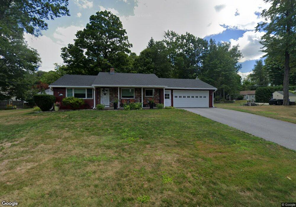
231 Perch Rock Trail Winsted, CT 06098
Estimated Value: $300,128 - $374,000
3
Beds
2
Baths
1,138
Sq Ft
$289/Sq Ft
Est. Value
About This Home
This home is located at 231 Perch Rock Trail, Winsted, CT 06098 and is currently estimated at $329,032, approximately $289 per square foot. 231 Perch Rock Trail is a home located in Litchfield County with nearby schools including Explorations Charter School, St Anthony School, and The Gilbert School.
Ownership History
Date
Name
Owned For
Owner Type
Purchase Details
Closed on
Feb 8, 2005
Sold by
Sexauer William and Sexauer Noella
Bought by
Esposito Carrie Ann
Current Estimated Value
Purchase Details
Closed on
Jun 1, 1999
Sold by
Daley Carol A and Daley Dennis J
Bought by
Shaw James R and Shaw Anne M
Create a Home Valuation Report for This Property
The Home Valuation Report is an in-depth analysis detailing your home's value as well as a comparison with similar homes in the area
Home Values in the Area
Average Home Value in this Area
Purchase History
| Date | Buyer | Sale Price | Title Company |
|---|---|---|---|
| Esposito Carrie Ann | $185,000 | -- | |
| Esposito Carrie Ann | $185,000 | -- | |
| Shaw James R | $138,000 | -- | |
| Shaw James R | $138,000 | -- |
Source: Public Records
Mortgage History
| Date | Status | Borrower | Loan Amount |
|---|---|---|---|
| Previous Owner | Shaw James R | $59,000 |
Source: Public Records
Tax History Compared to Growth
Tax History
| Year | Tax Paid | Tax Assessment Tax Assessment Total Assessment is a certain percentage of the fair market value that is determined by local assessors to be the total taxable value of land and additions on the property. | Land | Improvement |
|---|---|---|---|---|
| 2025 | $4,176 | $143,150 | $38,570 | $104,580 |
| 2024 | $3,899 | $143,150 | $38,570 | $104,580 |
| 2023 | $3,778 | $143,150 | $38,570 | $104,580 |
| 2022 | $3,522 | $105,000 | $28,000 | $77,000 |
| 2021 | $3,522 | $105,000 | $28,000 | $77,000 |
| 2020 | $3,522 | $105,000 | $28,000 | $77,000 |
| 2019 | $3,522 | $105,000 | $28,000 | $77,000 |
| 2018 | $3,522 | $105,000 | $28,000 | $77,000 |
| 2017 | $3,491 | $104,090 | $28,000 | $76,090 |
| 2016 | $3,491 | $104,090 | $28,000 | $76,090 |
| 2015 | $3,404 | $104,090 | $28,000 | $76,090 |
| 2014 | $3,322 | $104,090 | $28,000 | $76,090 |
Source: Public Records
Map
Nearby Homes
- 156 Lincoln Ave
- 119 W Wakefield Blvd
- 39 Orchard St
- 124 Rockwell St
- 106 Rockwell St
- 431 W Wakefield Blvd
- 51 Pratt St
- 843-845 (lots - 10A, E Wakefield Blvd
- 605 E Wakefield Blvd
- 720 Main St
- 30 Rock St
- 436 Main St
- 48 Bridge St
- 9 John St
- 32 Charles St
- 77 Hubbard St
- 118 Meadow St
- 99 Hubbard St
- 25 Center St
- 38 Upland Rd
- 244 E Wakefield Blvd
- 229 Perch Rock Trail
- 242 E Wakefield Blvd
- 240 E Wakefield Blvd
- 233 Perch Rock Trail
- 258 Perch Rock Trail
- 256 Perch Rock Trail
- 260 Perch Rock Trail
- 254 Perch Rock Trail
- 157 Alpha Ave
- 252 Perch Rock Trail
- 262 Perch Rock Trail
- 303 E Wakefield Blvd
- 227 Perch Rock Trail
- 250 Perch Rock Trail
- 307 E Wakefield Blvd
- 311 E Wakefield Blvd
- 309 E Wakefield Blvd
- 264 Perch Rock Trail
- 313 E Wakefield Blvd