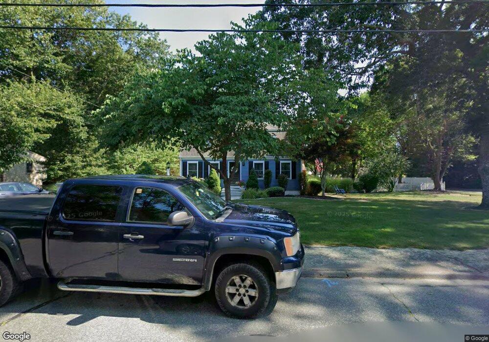
231 Peterson Path Marshfield, MA 02050
Estimated Value: $770,524 - $829,000
4
Beds
3
Baths
1,768
Sq Ft
$460/Sq Ft
Est. Value
About This Home
This home is located at 231 Peterson Path, Marshfield, MA 02050 and is currently estimated at $813,131, approximately $459 per square foot. 231 Peterson Path is a home located in Plymouth County with nearby schools including Governor Edward Winslow School, Furnace Brook Middle School, and Marshfield High School.
Ownership History
Date
Name
Owned For
Owner Type
Purchase Details
Closed on
Apr 20, 2004
Sold by
Feehan Richard J and Feehan Maureen E
Bought by
Cronin Basil F and Cronin Annmarie
Current Estimated Value
Create a Home Valuation Report for This Property
The Home Valuation Report is an in-depth analysis detailing your home's value as well as a comparison with similar homes in the area
Home Values in the Area
Average Home Value in this Area
Purchase History
| Date | Buyer | Sale Price | Title Company |
|---|---|---|---|
| Cronin Basil F | $420,000 | -- |
Source: Public Records
Tax History
| Year | Tax Paid | Tax Assessment Tax Assessment Total Assessment is a certain percentage of the fair market value that is determined by local assessors to be the total taxable value of land and additions on the property. | Land | Improvement |
|---|---|---|---|---|
| 2025 | $6,965 | $703,500 | $302,900 | $400,600 |
| 2024 | $6,784 | $652,900 | $288,400 | $364,500 |
| 2023 | $6,544 | $584,200 | $267,800 | $316,400 |
| 2022 | $6,544 | $505,300 | $236,900 | $268,400 |
| 2021 | $6,321 | $479,200 | $236,900 | $242,300 |
| 2020 | $6,026 | $452,100 | $216,300 | $235,800 |
| 2019 | $5,736 | $428,700 | $216,300 | $212,400 |
| 2018 | $5,674 | $424,400 | $216,300 | $208,100 |
| 2017 | $5,620 | $409,600 | $216,300 | $193,300 |
| 2016 | $5,501 | $396,300 | $216,300 | $180,000 |
| 2015 | $5,208 | $391,900 | $216,300 | $175,600 |
| 2014 | $5,143 | $387,000 | $216,300 | $170,700 |
Source: Public Records
Map
Nearby Homes
- 86 Barouche Dr
- 116 Outlook Rd
- 184 King Phillips Pathe
- 242 Enterprise St
- 431 Moraine St
- 42 Carr Rd
- 4 Rachael's Ln
- 12 Rachael Ln
- 7 Pierce Rd
- 6 Maple Ln
- 129 Franklin St
- 32 Gratto Rd
- 152 Acorn St
- 30 Chandler Dr
- 74 Teakettle Ln
- 62 Teakettle Ln
- 92 Salt Meadow Waye
- 106 Careswell St
- Two Railroad Ave Unit 9
- Two Railroad Ave Unit 1
- 227 Peterson Path
- 7 Lapwing Waye
- 132 Stagecoach Dr
- 120 Stagecoach Dr
- 107 Stagecoach Dr
- 213 Peterson Path
- 213 Peterson Path Unit 213
- 222 Peterson Path
- 110 Stagecoach Dr
- 137 Stagecoach Dr
- 214 Peterson Path
- 150 Stagecoach Dr
- 10 Lapwing Waye
- 203 Peterson Path
- 145 Stagecoach Dr
- 93 Stagecoach Dr
- 114 Meetinghouse Ln
- 85 Travelers Ln
- 204 Peterson Path
- 77 Travelers Ln
Your Personal Tour Guide
Ask me questions while you tour the home.