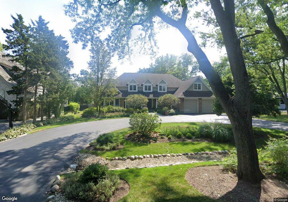
231 Ramsay Rd Deerfield, IL 60015
Briarwood NeighborhoodEstimated Value: $1,309,000 - $1,657,000
6
Beds
6
Baths
5,038
Sq Ft
$292/Sq Ft
Est. Value
About This Home
This home is located at 231 Ramsay Rd, Deerfield, IL 60015 and is currently estimated at $1,468,887, approximately $291 per square foot. 231 Ramsay Rd is a home located in Lake County with nearby schools including Kipling Elementary School, Alan B Shepard Middle School, and Deerfield High School.
Ownership History
Date
Name
Owned For
Owner Type
Purchase Details
Closed on
Aug 27, 2007
Sold by
Knudson Randal and Knudson Cynthia
Bought by
Klein Bruce and Klein Alisa
Current Estimated Value
Home Financials for this Owner
Home Financials are based on the most recent Mortgage that was taken out on this home.
Original Mortgage
$650,000
Outstanding Balance
$412,800
Interest Rate
6.63%
Mortgage Type
Purchase Money Mortgage
Estimated Equity
$1,056,087
Purchase Details
Closed on
Sep 4, 1996
Sold by
Lansky David and Moore Lansky Margaret Ann
Bought by
Knudson Randal and Knudson Cynthia
Home Financials for this Owner
Home Financials are based on the most recent Mortgage that was taken out on this home.
Original Mortgage
$304,000
Interest Rate
7.9%
Create a Home Valuation Report for This Property
The Home Valuation Report is an in-depth analysis detailing your home's value as well as a comparison with similar homes in the area
Home Values in the Area
Average Home Value in this Area
Purchase History
| Date | Buyer | Sale Price | Title Company |
|---|---|---|---|
| Klein Bruce | $1,550,000 | Chicago Title Insurance Co | |
| Knudson Randal | $380,000 | Attorneys Natl Title Network |
Source: Public Records
Mortgage History
| Date | Status | Borrower | Loan Amount |
|---|---|---|---|
| Open | Klein Bruce | $650,000 | |
| Previous Owner | Knudson Randal | $304,000 |
Source: Public Records
Tax History
| Year | Tax Paid | Tax Assessment Tax Assessment Total Assessment is a certain percentage of the fair market value that is determined by local assessors to be the total taxable value of land and additions on the property. | Land | Improvement |
|---|---|---|---|---|
| 2024 | $23,991 | $301,395 | $91,799 | $209,596 |
| 2023 | $28,161 | $262,952 | $80,090 | $182,862 |
| 2022 | $28,161 | $303,280 | $86,023 | $217,257 |
| 2021 | $26,580 | $292,403 | $82,938 | $209,465 |
| 2020 | $25,563 | $293,019 | $83,113 | $209,906 |
| 2019 | $24,983 | $292,522 | $82,972 | $209,550 |
| 2018 | $24,172 | $294,809 | $87,945 | $206,864 |
| 2017 | $23,984 | $293,868 | $87,664 | $206,204 |
| 2016 | $23,337 | $282,756 | $84,349 | $198,407 |
| 2015 | $22,874 | $265,673 | $79,253 | $186,420 |
| 2014 | $22,716 | $266,757 | $79,819 | $186,938 |
| 2012 | $22,159 | $264,404 | $79,115 | $185,289 |
Source: Public Records
Map
Nearby Homes
- 990 Heather Rd
- 1127 Kenton Rd
- 1177 Ridge Rd
- 435 Kingston Terrace
- 707 Brierhill Rd
- 1236 Cavell Ave
- 757 Kipling Place
- 1300 Knollwood Rd
- 971 Windsor Rd
- 453 Longfellow Ave
- 1334 Ferndale Ave
- 1151 Walden Ln
- 1459 Eastwood Ave
- 534 Hermitage Dr
- 520 Standish Dr
- 1672 Huntington Ln
- 985 Ridge Rd
- 1106 Waukegan Rd
- 1630 Ridge Rd
- 1285 Warwick Ct
- 219 Ramsay Rd
- 243 Ramsay Rd
- 200 Manor Dr
- 193 Ramsay Rd
- 1035 Meadowbrook Ln
- 1009 Meadowbrook Ln
- 1065 Meadowbrook Ln
- 230 Ramsay Rd
- 240 Ramsay Rd
- 220 Ramsay Rd
- 1040 Lampton Ln
- 1050 Lampton Ln
- 200 Ramsay Rd
- 1055 Meadowbrook Ln
- 1010 Meadowbrook Ln
- 1075 Meadowbrook Ln
- 175 Manor Dr
- 1000 Brand Ln
- 1070 Lampton Ln
- 960 Meadowbrook Ln
Your Personal Tour Guide
Ask me questions while you tour the home.