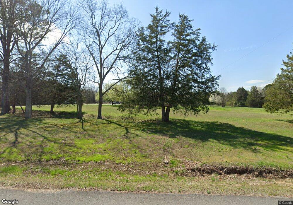
231 Renae Ln Ringgold, GA 30736
Beaumont NeighborhoodEstimated Value: $374,000 - $603,000
3
Beds
2
Baths
2,800
Sq Ft
$176/Sq Ft
Est. Value
About This Home
This home is located at 231 Renae Ln, Ringgold, GA 30736 and is currently estimated at $492,066, approximately $175 per square foot. 231 Renae Ln is a home located in Catoosa County with nearby schools including Woodstation Elementary School, Heritage Middle School, and Heritage High School.
Ownership History
Date
Name
Owned For
Owner Type
Purchase Details
Closed on
Aug 17, 2015
Sold by
Reid Frank D
Bought by
Rowlands Daniel
Current Estimated Value
Purchase Details
Closed on
Mar 24, 2009
Sold by
Stephens Gregory D
Bought by
Reid Frank D and And Reid Susan R
Home Financials for this Owner
Home Financials are based on the most recent Mortgage that was taken out on this home.
Original Mortgage
$142,373
Interest Rate
5.14%
Mortgage Type
FHA
Purchase Details
Closed on
May 15, 2006
Sold by
Not Provided
Bought by
Reid Frank D and Rowlands Leah R
Purchase Details
Closed on
Jun 22, 1992
Bought by
Burke Edward Chester
Create a Home Valuation Report for This Property
The Home Valuation Report is an in-depth analysis detailing your home's value as well as a comparison with similar homes in the area
Home Values in the Area
Average Home Value in this Area
Purchase History
| Date | Buyer | Sale Price | Title Company |
|---|---|---|---|
| Rowlands Daniel | -- | -- | |
| Reid Frank D | $145,000 | -- | |
| Reid Frank D | -- | -- | |
| Burke Edward Chester | $107,500 | -- |
Source: Public Records
Mortgage History
| Date | Status | Borrower | Loan Amount |
|---|---|---|---|
| Previous Owner | Reid Frank D | $142,373 |
Source: Public Records
Tax History Compared to Growth
Tax History
| Year | Tax Paid | Tax Assessment Tax Assessment Total Assessment is a certain percentage of the fair market value that is determined by local assessors to be the total taxable value of land and additions on the property. | Land | Improvement |
|---|---|---|---|---|
| 2024 | $3,418 | $162,271 | $19,760 | $142,511 |
| 2023 | $2,765 | $125,482 | $19,760 | $105,722 |
| 2022 | $2,189 | $97,795 | $19,760 | $78,035 |
| 2021 | $2,046 | $97,795 | $19,760 | $78,035 |
| 2020 | $1,991 | $86,022 | $19,760 | $66,262 |
| 2019 | $2,012 | $86,022 | $19,760 | $66,262 |
| 2018 | $2,125 | $86,022 | $19,760 | $66,262 |
| 2017 | $2,100 | $84,994 | $19,760 | $65,234 |
| 2016 | $2,073 | $79,781 | $19,760 | $60,021 |
| 2015 | -- | $79,781 | $19,760 | $60,021 |
| 2014 | -- | $84,254 | $21,600 | $62,654 |
| 2013 | -- | $84,254 | $21,600 | $62,654 |
Source: Public Records
Map
Nearby Homes
- 575 W Nickajack Rd
- 218 Hooper Rd
- 1469 Hickory Grove Rd
- 333 Hooper Rd
- 1781 Houston Valley Rd
- 0 Summerfield Trail
- 01 Houston Valley Rd
- 678 Waters Dr
- 479 Capehart Rd
- 15 Chickadee Dr
- 0 Pineywood Dr Unit 1515968
- 6280 Georgia 151
- 13 Crosswinds Dr
- 1282 Temperance Hall Rd
- 1588 Houston Valley Rd
- 211 Pine Ridge Extension
- 539 Vaughn Dr
- 72 Brutis Dr
- 182 Boxer Ln
- 0 Temperance Hall Rd Unit 10506446
- 123 Kristy Ct
- 244 Renae Ln
- 124 Renae Ln
- 100 Kristy Ct
- 5 Kristin Dr
- 5 Kristy Ct
- 40 Kristy Ct
- 12082 Alabama Hwy
- 12598 Alabama Hwy
- 122 Renae Ln
- 37 Renae Ln
- 2 Kristy Ct
- 11966 Alabama Hwy
- 12276 Alabama Hwy
- 00 Alabama Hwy
- 11886 Alabama Hwy
- 11860 Alabama Hwy
- 12127 Alabama Hwy
- 12316 Alabama Hwy
- 12295 Alabama Hwy
