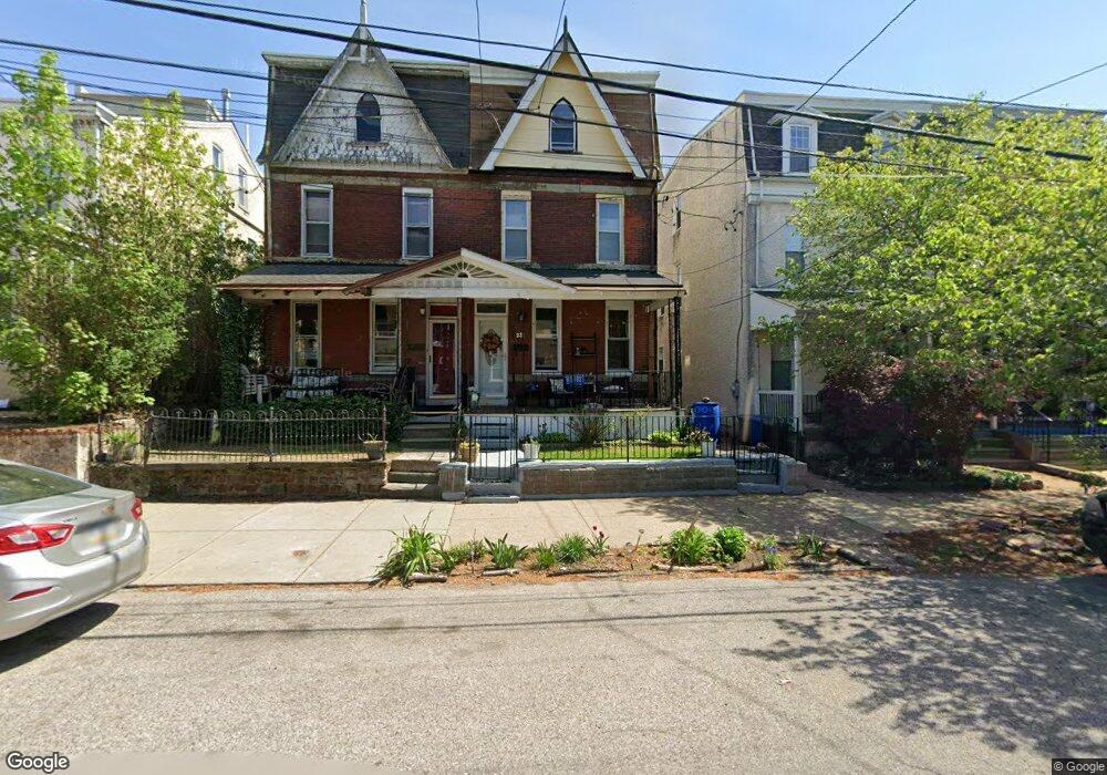
231 Roxborough Ave Philadelphia, PA 19128
Manayunk NeighborhoodEstimated Value: $393,115 - $480,000
4
Beds
2
Baths
1,935
Sq Ft
$235/Sq Ft
Est. Value
About This Home
This home is located at 231 Roxborough Ave, Philadelphia, PA 19128 and is currently estimated at $454,279, approximately $234 per square foot. 231 Roxborough Ave is a home located in Philadelphia County with nearby schools including Cook-Wissahickon School, White Oaks Elementary School, and Roxborough High School.
Ownership History
Date
Name
Owned For
Owner Type
Purchase Details
Closed on
Dec 15, 2023
Sold by
Mohammed Angela L
Bought by
Revocable Trust and Mohammed
Current Estimated Value
Purchase Details
Closed on
Aug 7, 1998
Sold by
Hometown Building & Loan Assn
Bought by
Mohammed Angela L
Purchase Details
Closed on
Jan 29, 1996
Sold by
Green John D
Bought by
Hometown Building & Loan Assn
Create a Home Valuation Report for This Property
The Home Valuation Report is an in-depth analysis detailing your home's value as well as a comparison with similar homes in the area
Home Values in the Area
Average Home Value in this Area
Purchase History
| Date | Buyer | Sale Price | Title Company |
|---|---|---|---|
| Revocable Trust | -- | None Listed On Document | |
| Mohammed Angela L | $72,000 | -- | |
| Hometown Building & Loan Assn | $2,900 | -- |
Source: Public Records
Tax History Compared to Growth
Tax History
| Year | Tax Paid | Tax Assessment Tax Assessment Total Assessment is a certain percentage of the fair market value that is determined by local assessors to be the total taxable value of land and additions on the property. | Land | Improvement |
|---|---|---|---|---|
| 2026 | $2,083 | $355,900 | $71,180 | $284,720 |
| 2025 | $2,083 | $355,900 | $71,180 | $284,720 |
| 2024 | $2,083 | $355,900 | $71,180 | $284,720 |
| 2023 | $2,083 | $298,300 | $59,660 | $238,640 |
| 2022 | $2,083 | $148,800 | $59,660 | $89,140 |
| 2021 | $2,083 | $0 | $0 | $0 |
| 2020 | $2,083 | $0 | $0 | $0 |
| 2019 | $2,083 | $0 | $0 | $0 |
| 2018 | $2,083 | $0 | $0 | $0 |
| 2017 | $2,083 | $0 | $0 | $0 |
| 2016 | $2,083 | $0 | $0 | $0 |
| 2015 | $1,575 | $0 | $0 | $0 |
| 2014 | -- | $210,100 | $45,724 | $164,376 |
| 2012 | -- | $15,872 | $3,545 | $12,327 |
Source: Public Records
Map
Nearby Homes
- 211 Lofty St
- 227 Grape St
- 4333 Fleming St
- 217 Grape St
- 4315 Boone St
- 4148 Manayunk Ave
- 314 Pensdale St
- 4275 Silverwood St
- 157 Cotton St
- 308 Monastery Ave
- 4127 Terrace St
- 226 Wendover St
- 151 Jamestown St
- 4383 Manayunk Ave
- 4337 Pechin St
- 164 Grape St
- 4149 Pechin St
- 359 Lyceum Ave
- 4128 Apple St
- 4407 Dexter St
- 229 Roxborough Ave
- 233 Roxborough Ave
- 227 Roxborough Ave
- 235 Roxborough Ave
- 225 Roxborough Ave
- 223 Roxborough Ave
- 221 Roxborough Ave
- 239 Roxborough Ave
- 237 Roxborough Ave Unit 2
- 237 Roxborough Ave
- 219 Roxborough Ave
- 241 Roxborough Ave
- 217 Roxborough Ave
- 232 Roxborough Ave
- 243 Roxborough Ave
- 215 Roxborough Ave
- 4300 Dexter St
- 4300 Dexter St Unit 1
- 4300 Dexter St Unit 2
- 230 Rector St