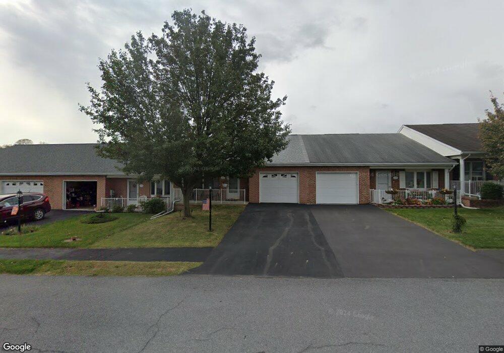
231 S Fork Dr Hagerstown, MD 21740
South End NeighborhoodEstimated Value: $264,000 - $290,000
Studio
2
Baths
1,322
Sq Ft
$209/Sq Ft
Est. Value
About This Home
This home is located at 231 S Fork Dr, Hagerstown, MD 21740 and is currently estimated at $276,702, approximately $209 per square foot. 231 S Fork Dr is a home located in Washington County with nearby schools including Emma K. Doub Elementary School, E. Russell Hicks Middle School, and South Hagerstown High School.
Ownership History
Date
Name
Owned For
Owner Type
Purchase Details
Closed on
Feb 9, 2004
Sold by
Bowers Donald C and Bowers Jacquelyn R
Bought by
Ann Hopp Carrie
Current Estimated Value
Purchase Details
Closed on
Nov 26, 2003
Sold by
Hoover Fran K
Bought by
Bowers Donald C and Bowers Jacquelyn R
Purchase Details
Closed on
Aug 5, 2003
Sold by
Crampton Paul Llc
Bought by
Hoover Fran K
Create a Home Valuation Report for This Property
The Home Valuation Report is an in-depth analysis detailing your home's value as well as a comparison with similar homes in the area
Home Values in the Area
Average Home Value in this Area
Purchase History
| Date | Buyer | Sale Price | Title Company |
|---|---|---|---|
| Ann Hopp Carrie | $151,000 | -- | |
| Bowers Donald C | $140,000 | -- | |
| Hoover Fran K | $122,900 | -- |
Source: Public Records
Mortgage History
| Date | Status | Borrower | Loan Amount |
|---|---|---|---|
| Closed | Hoover Fran K | -- |
Source: Public Records
Tax History
| Year | Tax Paid | Tax Assessment Tax Assessment Total Assessment is a certain percentage of the fair market value that is determined by local assessors to be the total taxable value of land and additions on the property. | Land | Improvement |
|---|---|---|---|---|
| 2025 | $1,854 | $203,667 | $0 | $0 |
| 2024 | $1,854 | $179,100 | $35,000 | $144,100 |
| 2023 | $1,787 | $172,600 | $0 | $0 |
| 2022 | $1,720 | $166,100 | $0 | $0 |
| 2021 | $1,692 | $159,600 | $35,000 | $124,600 |
| 2020 | $1,630 | $154,433 | $0 | $0 |
| 2019 | $1,582 | $149,267 | $0 | $0 |
| 2018 | $1,527 | $144,100 | $35,000 | $109,100 |
| 2017 | $1,478 | $139,467 | $0 | $0 |
| 2016 | -- | $134,833 | $0 | $0 |
| 2015 | -- | $130,200 | $0 | $0 |
| 2014 | $1,683 | $130,200 | $0 | $0 |
Source: Public Records
Map
Nearby Homes
- 202 S Fork Dr
- 124 Buttercup Dr
- 12.3 AC Southern Blvd
- Lot 7-16 Lawton Ln
- 1462 Oakmont Dr
- 3 W Oak Ridge Dr
- 605 Knightsbridge Dr
- 1024 Pope Ave
- 0 Kenly Ave
- 933 Kenwood Dr
- 925 Frederick St
- 904 Kuhn Ave
- 920 Frederick St
- 1037 & 1037 1/2 Spruce St
- 10378 Lantern Ln
- 10348 Bridle Ct
- 767 Spruce St
- 801 Maryland Ave
- 219 W Howard St
- 725 S Potomac St
- 229 S Fork Dr
- 233 S Fork Dr
- 227 S Fork Dr
- 235 S Fork Dr
- 225 S Fork Dr
- 234 Winding Oak Dr
- 232 Winding Oak Dr
- 238 Winding Oak Dr
- 230 Winding Oak Dr
- 221 S Fork Dr
- 230 S Fork Dr
- 228 S Fork Dr
- 232 S Fork Dr
- 306 Winding Oak Dr
- 308 Winding Oak Dr
- 234 S Fork Dr
- 304 Winding Oak Dr
- 226 S Fork Dr
- 226 Winding Oak Dr
- 310 Winding Oak Dr
Your Personal Tour Guide
Ask me questions while you tour the home.