231 Seabolt Dr Locust Grove, GA 30248
Estimated Value: $450,000 - $597,000
3
Beds
2
Baths
2,160
Sq Ft
$246/Sq Ft
Est. Value
About This Home
This home is located at 231 Seabolt Dr, Locust Grove, GA 30248 and is currently estimated at $531,836, approximately $246 per square foot. 231 Seabolt Dr is a home located in Henry County with nearby schools including Tussahaw Elementary School, Locust Grove Middle School, and Locust Grove High School.
Ownership History
Date
Name
Owned For
Owner Type
Purchase Details
Closed on
Jul 22, 2016
Sold by
James Dartanian
Bought by
Labouve Dartanian James and Labouve Linda Y
Current Estimated Value
Home Financials for this Owner
Home Financials are based on the most recent Mortgage that was taken out on this home.
Original Mortgage
$194,000
Outstanding Balance
$154,771
Interest Rate
3.56%
Estimated Equity
$377,065
Purchase Details
Closed on
Oct 18, 1994
Sold by
Tate Lemmie Mary
Bought by
Christian Richard Margaret
Home Financials for this Owner
Home Financials are based on the most recent Mortgage that was taken out on this home.
Original Mortgage
$124,000
Interest Rate
8.68%
Purchase Details
Closed on
Jan 5, 1993
Sold by
Muhammad Isa I and Muhammad Aisha
Bought by
Federal Home Loan Mortgage Corporation
Create a Home Valuation Report for This Property
The Home Valuation Report is an in-depth analysis detailing your home's value as well as a comparison with similar homes in the area
Home Values in the Area
Average Home Value in this Area
Purchase History
| Date | Buyer | Sale Price | Title Company |
|---|---|---|---|
| Labouve Dartanian James | $367,500 | -- | |
| Labouve Dartanian James | $367,500 | -- | |
| Christian Richard Margaret | $77,500 | -- | |
| Federal Home Loan Mortgage Corporation | $91,700 | -- |
Source: Public Records
Mortgage History
| Date | Status | Borrower | Loan Amount |
|---|---|---|---|
| Open | Labouve Dartanian James | $194,000 | |
| Closed | Labouve Dartanian James | $194,000 | |
| Previous Owner | Christian Richard Margaret | $124,000 |
Source: Public Records
Tax History Compared to Growth
Tax History
| Year | Tax Paid | Tax Assessment Tax Assessment Total Assessment is a certain percentage of the fair market value that is determined by local assessors to be the total taxable value of land and additions on the property. | Land | Improvement |
|---|---|---|---|---|
| 2025 | $4,193 | $234,432 | $98,040 | $136,392 |
| 2024 | $4,193 | $224,400 | $84,080 | $140,320 |
| 2023 | $4,004 | $218,200 | $78,960 | $139,240 |
| 2022 | $3,877 | $188,600 | $73,720 | $114,880 |
| 2021 | $3,619 | $171,680 | $67,320 | $104,360 |
| 2020 | $3,356 | $155,080 | $61,200 | $93,880 |
| 2019 | $3,186 | $143,440 | $56,120 | $87,320 |
| 2018 | $3,071 | $133,880 | $51,000 | $82,880 |
| 2016 | $3,057 | $87,480 | $34,400 | $53,080 |
| 2015 | $2,999 | $83,000 | $32,240 | $50,760 |
| 2014 | $2,652 | $72,640 | $32,240 | $40,400 |
Source: Public Records
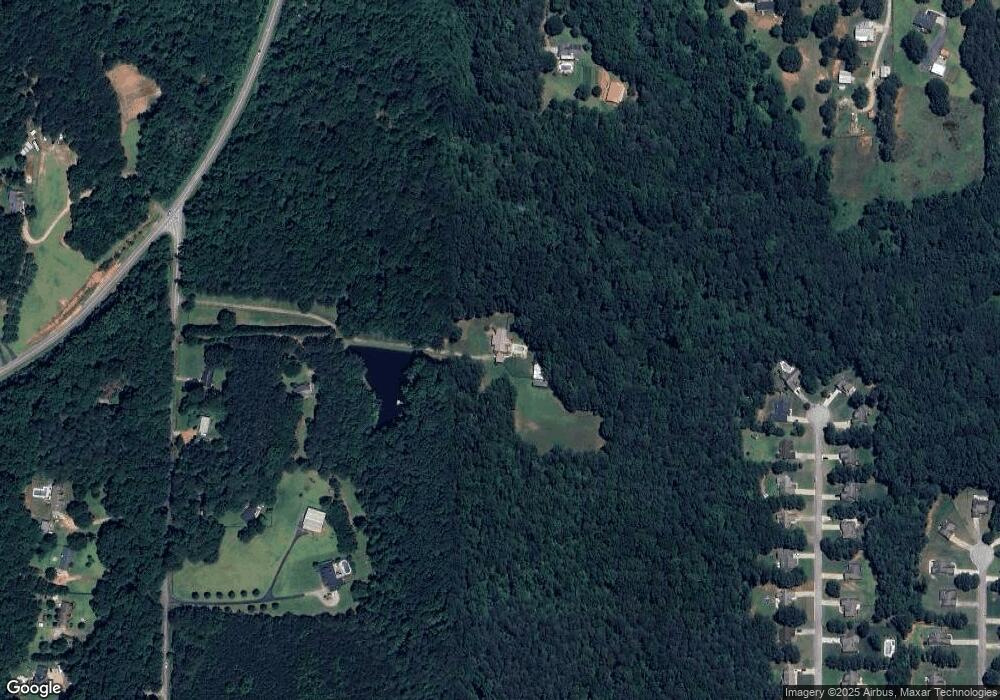
Map
Nearby Homes
- 143 Kimbell Farm Dr
- 121, 125, 129 Case Dr
- 705 S Bethany Rd
- 1000 Coan Dr
- 521 Deadwood Trail
- 281 Laney Dr
- 601 Amerigo Ct
- 1126 Old Jackson Rd
- 995 Old Jackson Rd
- 100 Harbin Trail
- 201 Nina Cir
- 218 Baxter Ln
- 767 Old Jackson Rd
- 705 Seabolt Rd
- 1171 King Mill Rd
- 678 Seabolt Rd
- 215 Laney Rd
- 604 Onieda Dr
- 560 Coan Dr
- 205 Calvery Way
- 237 Seabolt Dr
- 229 Seabolt Dr
- 183 Seabolt Dr
- 597 Deadwood Trail
- 593 Deadwood Trail
- 599 Deadwood Trail
- 225 Seabolt Dr
- 191 Seabolt Dr
- 589 Deadwood Trail
- 585 Deadwood Trail
- 581 Deadwood Trail Unit 642
- 581 Deadwood Trail
- 895 S Bethany Rd
- 598 Deadwood Trail Unit 648
- 598 Deadwood Trail
- 577 Deadwood Trail
- 596 Deadwood Trail Unit 649
- 90 Laney Dr
- 592 Deadwood Trail Unit 650
- 592 Deadwood Trail